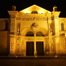
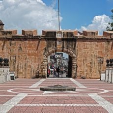
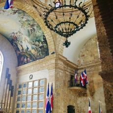
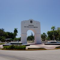
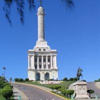
Dominican Republic, Caribbean nation in Hispaniola, West Indies
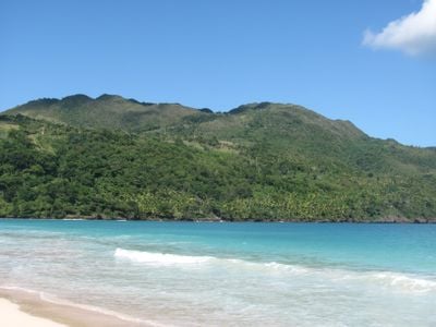
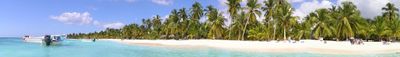
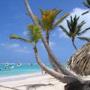
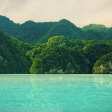
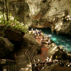
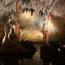
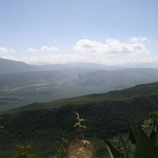
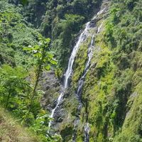
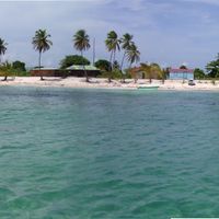
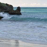
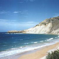
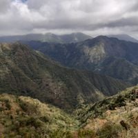
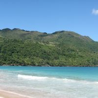
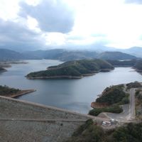
The Dominican Republic occupies the eastern portion of Hispaniola and stretches from the Atlantic coastline in the north to the Caribbean Sea in the south. Between these shores lie mountain ranges, river valleys, wide beaches, and coral reefs that shape the territory.
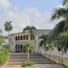
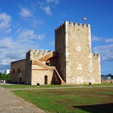
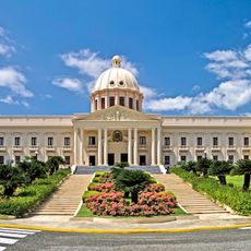
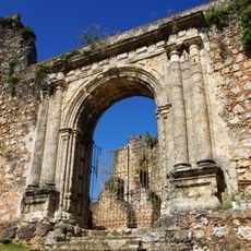
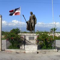
After gaining independence from Haiti in 1844, the nation experienced numerous government changes and internal conflicts. Rafael Trujillo's dictatorship lasted from 1930 to 1961 and brought economic changes under authoritarian rule.
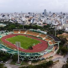
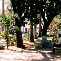
Baseball serves as the most popular sport and has produced numerous players for North American professional leagues, while Carnival celebrations take place every February with colorful costumes and street parades throughout all regions of the country.
Most travelers arrive through Punta Cana International Airport, while additional airports operate in Santo Domingo and Puerto Plata. The best travel period runs from December through April outside hurricane season.
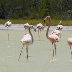
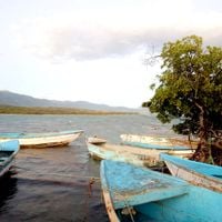
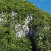
Lago Enriquillo sits 144 feet (44 meters) below sea level and forms the lowest point in the Caribbean. American crocodiles and iguanas inhabit this saltwater lake.
Inception: 1844
Capital city: Santo Domingo
Part of: Latin America, Caribbean
Shares border with: Haiti, Venezuela, United States, Turks and Caicos Islands
Address: Dominican Republic
Website: https://dominicanrepublic.com
GPS coordinates: 19.09740,-70.30280
Latest update: December 4, 2025 17:20
Pico Duarte
73.6 km
Los Haitises National Park
74.9 km
Monumento de Santiago
57 km
Alcázar de Colón
82 km
Columbus Lighthouse
82.7 km
Basílica Catedral Nuestra Señora de la Altagracia
175.4 km
Basílica Catedral Metropolitana Santa María de la Encarnación
82.3 km
Puerta del Conde
82.1 km
Los Tres Ojos National Park
83.9 km
Teatro Nacional Eduardo Brito
81.1 km
Fortaleza Ozama
82.4 km
National Palace
81.5 km
Flag Square of Santo Domingo
79.9 km
Valle Nuevo National Park
53.7 km
Dominican National Pantheon
82.2 km
Park nacional cueva de las maravillas
140.2 km
Jaragua National Park
192.8 km
Dr. Rafael Ma. Moscoso National Botanical Garden
76.7 km
Museo del Hombre Dominicano
81.1 km
Museum Memorial de la Resistencia Dominicana
82.2 km
Hospital San Nicolás de Bari
82.1 km
Fortaleza San Felipe
88.8 km
Monasterio de San Francisco
81.9 km
Pantoja
71.2 km
Sierra de Bahoruco National Park
163.8 km
Altar of the Homeland
82 km
Macao playa turística
189.4 km
Pomier Caves
72.3 kmReviews
Visited this place? Tap the stars to rate it and share your experience / photos with the community! Try now! You can cancel it anytime.
Azua Province
Baoruco Province
Barahona Province
Dajabón Province
Duarte Province
Elías Piña Province
El Seibo Province
Espaillat Province
Hato Mayor Province
Independencia
La Altagracia Province
La Romana
La Vega Province
María Trinidad Sánchez Province
Monseñor Nouel Province
Monte Cristi Province
Monte Plata Province
Pedernales Province
Peravia Province
Puerto Plata Province
Hermanas Mirabal Province
Samaná Province
Sánchez Ramírez Province
San Cristóbal Province
San José de Ocoa Province
San Juan Province
San Pedro de Macorís
Santiago Province
Santiago Rodríguez Province
Santo Domingo Province
Valverde Province
Distrito Nacional
Discover hidden gems everywhere you go!
From secret cafés to breathtaking viewpoints, skip the crowded tourist spots and find places that match your style. Our app makes it easy with voice search, smart filtering, route optimization, and insider tips from travelers worldwide. Download now for the complete mobile experience.
A unique approach to discovering new places❞
— Le Figaro
All the places worth exploring❞
— France Info
A tailor-made excursion in just a few clicks❞
— 20 Minutes