Elías Piña Province, Province with agricultural landscapes near Haiti border, Dominican Republic
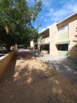
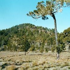
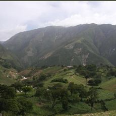
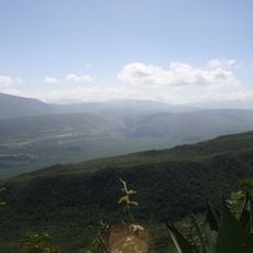
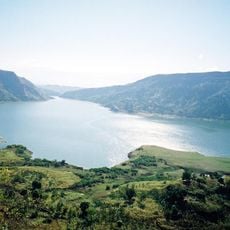
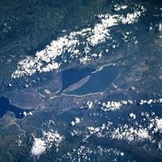
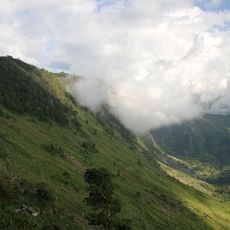
Elías Piña is a province in southwestern Dominican Republic situated between the Cordillera Central and Sierra de Neiba mountain ranges. The landscape consists mainly of mountainous terrain with agricultural areas, located near the Haitian border.
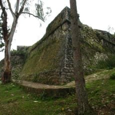
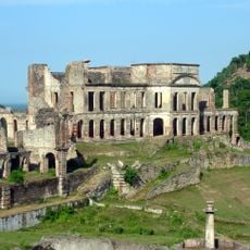
The region grew from Spanish colonial settlements, with Bánica established in 1504 as an early colonial center. This town became the primary settlement that shaped the region's development.
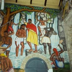
Local festivals blend Dominican, Haitian, African, and Spanish traditions that you can see in how people celebrate and gather. These influences shape the daily rhythm and create a distinctive character in the region.
Comendador serves as the main transportation hub, accessible by road from other regions. Bus services connect the different towns and municipalities throughout the province.
The province contains three distinct geographical regions with different landscape features. This variety creates different farming zones and natural environments within a relatively compact area.
Location: Dominican Republic
Capital city: Comendador
Elevation above the sea: 454 m
Shares border with: Dajabón Province, Santiago Rodríguez Province, San Juan Province, Independencia, Centre
Address: Elias Pina, Dominican Republic
GPS coordinates: 18.88333,-71.70000
Latest update: December 7, 2025 19:24
Citadelle Laferrière
95.8 km
Pico Duarte
75.5 km
National Palace
77.3 km
Sans-Souci Palace
97.1 km
Le Marron Inconnu
77.1 km
Cathedral of Our Lady of the Assumption
76.9 km
José Armando Bermúdez National Park
51.5 km
Pic la Selle
65.1 km
Sierra de Bahoruco National Park
83.2 km
Haitian National Pantheon Museum
77.1 km
Royal Chapel of Milot
97.2 km
Monte Cristi National Park
99.5 km
Péligre Dam
35.8 km
Fort Jacques
75.4 km
Nationalpark Lago Enriqillo e Isla Cabritos
41.2 km
National History Park
95.8 km
Marché en Fer
77.2 km
Holy Trinity Cathedral, Port-au-Prince
77.1 km
Port-au-Prince Haiti Temple
71.7 km
Lake Péligre
31.7 km
National Library of Haiti
77.4 km
La Visite National Park
68.1 km
Monte Cristi Pipe Wreck
111.9 km
Al Fatiha Mosque
75.7 km
Ramiers
95.8 km
Boukman Buhara Mosque
93.6 km
Pointe du Lamentin Lighthouse
83.4 km
Salto de Jimenoa Uno
118.7 kmVisited this place? Tap the stars to rate it and share your experience / photos with the community! Try now! You can cancel it anytime.
Discover hidden gems everywhere you go!
From secret cafés to breathtaking viewpoints, skip the crowded tourist spots and find places that match your style. Our app makes it easy with voice search, smart filtering, route optimization, and insider tips from travelers worldwide. Download now for the complete mobile experience.
A unique approach to discovering new places❞
— Le Figaro
All the places worth exploring❞
— France Info
A tailor-made excursion in just a few clicks❞
— 20 Minutes