Monte Cristi National Park, National park in Monte Cristi, Dominican Republic
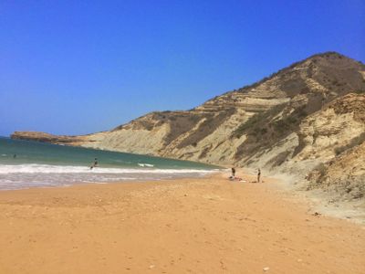
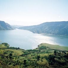
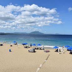
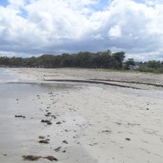
Monte Cristi National Park lies along the northwestern coast and encompasses coastal lagoons, mangrove forests, and sandy beaches within a protected area. The landscape combines different habitats into one space where water and land meet in varied ways.
The park received protected status in 1983, marking a turning point in efforts to safeguard the distinctive ecosystems of the northwestern coast. This designation reflected growing recognition that this coastal zone needed conservation.
Fishing communities around the park continue age-old methods passed down through families, shaping how people interact with the waters daily. These traditions remain visible in the way locals navigate and work within the landscape.
Exploring the park requires arranging a guide in advance since marked trails are sparse and facilities are limited. Planning ahead ensures you can navigate safely and see what the area has to offer.
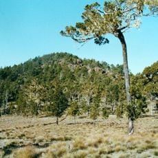
A limestone plateau rises about 237 meters above the sea and offers views of offshore islands while supporting rare plant species found nowhere else. This formation shapes the character of the area and the habitats it contains.
The community of curious travelers
AroundUs brings together thousands of curated places, local tips, and hidden gems, enriched daily by 60,000 contributors worldwide.