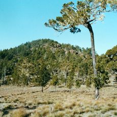
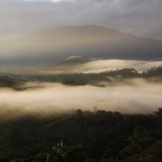
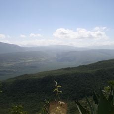
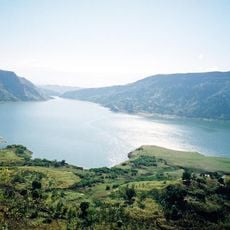
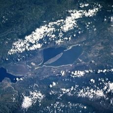
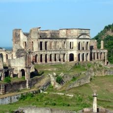
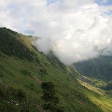
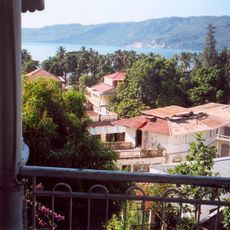
Pic la Selle, Mountain summit in Croix-des-Bouquets, Haiti.
Pic la Selle, also called Morne La Selle, is the highest point in Haiti, given as 2,574 m (8,445 ft) by one source and 2,680 m by another. It belongs to the Chaîne de la Selle, which continues east into the Dominican Republic as the Sierra de Baoruco. The summit lies in the commune of Fonds-Verrettes, Ouest department, above the villages of Gentilhomme and Calalo.
In 1919 a U.S. National Geodetic Survey team reached the summit, and in 1927 the botanists Erik Leonard Ekman and Alexander Wetmore led an expedition there. In May 2004 torrential rain from a tropical wave sent water from the peak down fragile limestone ravines, destroying the village of Fonds-Verrettes, 13 km northeast of the summit, and flooding Mapou to the south.
The mountain carries two names, Pic la Selle and Morne La Selle, and in Haitian Creole it is Pik Lasèl. A Haitian legend says two rainbows, one male and one female, rise from the peak; both are living beings with endless thirst who drink from the rivers and sometimes leave their multicoloured caps beside the springs.
There are no formal trails on Pic la Selle, so the climb is done with local guides from the villages of Gentilhomme and Calalo, whose residents work mainly as foresters. The nearest settlement to the summit is Fonds-Verrettes, about 13 km to the northeast. Rain in the massif reaches roughly 2,000 mm a year, and the peak is the wettest point in Haiti, so plan for wet ground.
The black-capped petrel, a seabird that nests in burrows on remote Caribbean highlands, still inhabited the mountain as of 2011, after a breeding colony was recorded there in the 1960s. Botanists Erik Leonard Ekman and Alexander Wetmore climbed to the summit on an expedition in 1927.
The community of curious travelers
AroundUs brings together thousands of curated places, local tips, and hidden gems, enriched daily by 94,045 contributors worldwide.