Enable Location

We need your location to show you interesting places around you

Discover nearby places

Find interesting locations and hidden gems around you

Precise directions

Get accurate directions and distances to places

Your location is never shared with other users. It's only used when you tap the location button.

Sierra de Bahoruco National Park

Log in to your account

Start exploring — it's free

Trusted by 62,049 travelers worldwide

Continue with Google
Continue with Apple
or

We will send you a code to connect

By continuing, you accept our Terms and Conditions and our Privacy Policy

Check your inbox

We've sent a pincode in your inbox. Please enter the code below.

Sierra de Bahoruco National Park

Sierra de Bahoruco National Park, National park in Pedernales Province, Dominican Republic.

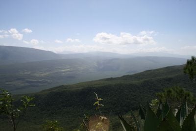
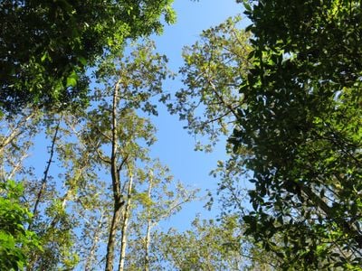
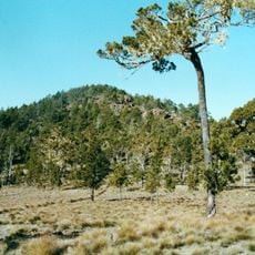
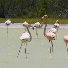
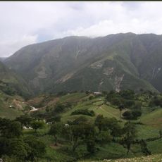
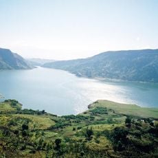
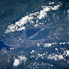
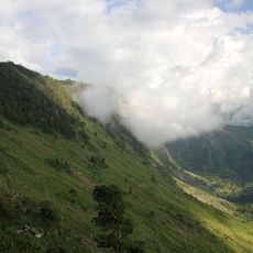
Sierra de Bahoruco National Park is a protected area in southwestern Dominican Republic featuring limestone mountains, tropical forests, and rugged terrain. The landscape consists of multiple valleys, plateaus, and densely forested slopes that support different wildlife and plant communities.

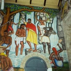
The park takes its name from a Taino word recorded by Spanish chroniclers like Bartolomé de las Casas in early colonial accounts of the island. The region became important to Spanish colonists for settlement and resource extraction in the centuries that followed.

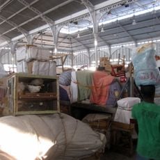
Local people practice traditional hunting and gathering in the park's forests, skills passed down through generations. These ways of life remain visible in how communities interact with the land today.

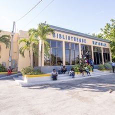
The main entrance near Pedernales provides access to marked hiking trails leading to various viewpoints and natural features throughout the park. It is wise to arrive early so you can explore the paths in good light and have time for breaks along the way.

The park contains El Hoyo de Pelempito, a massive sinkhole dropping about 360 meters deep that stretches for several kilometers through limestone formations. This geological feature formed over millennia as limestone dissolved, revealing how underground water systems have shaped the landscape.

The community of curious travelers

AroundUs brings together thousands of curated places, local tips, and hidden gems, enriched daily by 60,000 contributors worldwide.

Start exploring
GPS coordinates
18.16000,-71.50000
Latest update
December 9, 2025 18:44
« Sierra de Bahoruco National Park - National park in Pedernales Province, Dominican Republic » is provided by Around Us (aroundus.com). Images and texts are derived from Wikimedia project under a Creative Commons license. You are allowed to copy, distribute, and modify copies of this page, under the conditions set by the license, as long as this note is clearly visible.

Discover hidden gems everywhere you go!

From secret cafés to breathtaking viewpoints, skip the crowded tourist spots and find places that match your style. Our app makes it easy with voice search, smart filtering, route optimization, and insider tips from travelers worldwide. Download now for the complete mobile experience.

Around Us App Screenshot

A unique approach to discovering new places

Le Figaro

All the places worth exploring

France Info

A tailor-made excursion in just a few clicks

20 Minutes

Around Us
Travel Guide & Maps
Download

Send to your phone

QR Code
1

Open the camera app on your mobile.

2

Point at the QR code with your camera. A notification will appear.

3

Tap the notification to open the link.