San Juan Province, Administrative province in the southwestern region, Dominican Republic
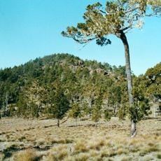
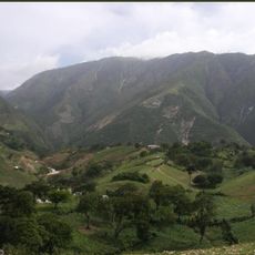
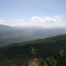
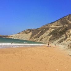
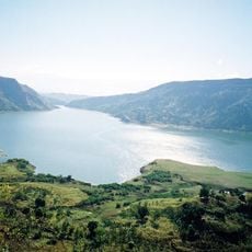
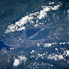
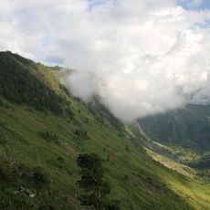
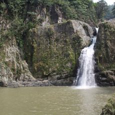
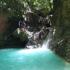
San Juan Province sits in the southwestern part of the Dominican Republic, featuring mountains, valleys, and three major rivers across its territory. The landscape combines various terrains that support both agriculture and water resources for the wider region.
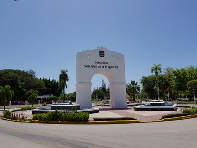
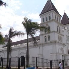
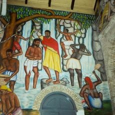
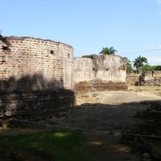
The province was created in 1938, but the territory has much older roots going back to Taino peoples who lived here before Spanish arrival. A Spanish settlement called San Juan de la Maguana was founded in 1503 and became central to the region's development.
Farming festivals happen throughout the year, with traditional music and local dishes bringing communities together to mark harvests. These gatherings show how deeply agriculture shapes daily life and identity in the region.
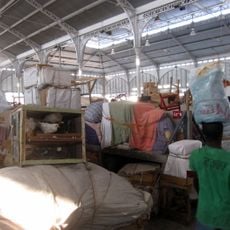
The region grows beans, peanuts, corn, and dairy products that supply much of the country, making it an agricultural hub worth visiting. Exploring local markets and farmland gives you a sense of how food production shapes the economy and daily routines here.
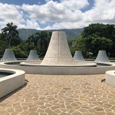
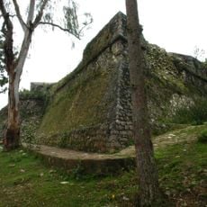
Three dams—Sabaneta, Sabana Yegua, and Palomino—generate electricity and manage water resources across the province. Few visitors realize how much these structures affect daily life and economic activity beyond just farming.
Location: Dominican Republic
Inception: 1938
Capital city: San Juan de la Maguana
Elevation above the sea: 429 m
Shares border with: Elías Piña Province, Santiago Rodríguez Province, Santiago Province, La Vega Province, Azua Province, Baoruco Province, Independencia
GPS coordinates: 18.81000,-71.23000
Latest update: December 7, 2025 19:30
Pico Duarte
34 km
National Palace
120.7 km
Monumento de Santiago
90.8 km
Jaragua National Park
117.1 km
Le Marron Inconnu
120.5 km
Cathedral of Our Lady of the Assumption
120.5 kmJosé Armando Bermúdez National Park
58.6 km
Pic la Selle
93.3 km
Sierra de Bahoruco National Park
77.8 km
Haitian National Pantheon Museum
120.5 km
Monte Cristi National Park
118.5 km
St. James the Apostle Cathedral, Santiago de los Caballeros
90 km
Péligre Dam
85.9 km
Fort Jacques
115.9 km
Nationalpark Lago Enriqillo e Isla Cabritos
56.1 km
Marché en Fer
120.9 km
Holy Trinity Cathedral, Port-au-Prince
120.5 km
Port-au-Prince Haiti Temple
113.9 km
Fortaleza San Luis
90.1 km
Lake Péligre
81.8 km
National Library of Haiti
120.9 km
La Visite National Park
95.6 kmPueblo Viejo National Park
90 km
Al Fatiha Mosque
119.3 km
Puerto Plata Cable Car
119.5 km
La Vega Vieja national park
90 km
Salto de Jimenoa Uno
74 km
27 Waterfalls of Damajagua
111.6 kmVisited this place? Tap the stars to rate it and share your experience / photos with the community! Try now! You can cancel it anytime.
Discover hidden gems everywhere you go!
From secret cafés to breathtaking viewpoints, skip the crowded tourist spots and find places that match your style. Our app makes it easy with voice search, smart filtering, route optimization, and insider tips from travelers worldwide. Download now for the complete mobile experience.
A unique approach to discovering new places❞
— Le Figaro
All the places worth exploring❞
— France Info
A tailor-made excursion in just a few clicks❞
— 20 Minutes