Enable Location

We need your location to show you interesting places around you

Discover nearby places

Find interesting locations and hidden gems around you

Precise directions

Get accurate directions and distances to places

Your location is never shared with other users. It's only used when you tap the location button.

Puerto Plata Province

Log in to your account

Start exploring — it's free

Trusted by 61,518 travelers worldwide

Continue with Google
Continue with Apple
or

We will send you a code to connect

By continuing, you accept our Terms and Conditions and our Privacy Policy

Check your inbox

We've sent a pincode in your inbox. Please enter the code below.

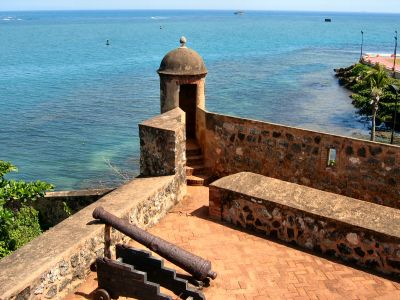
Puerto Plata Province, Administrative province in northern Dominican Republic

Description

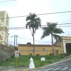
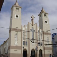
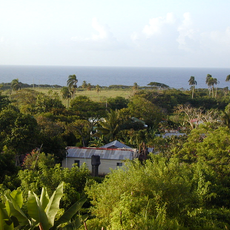
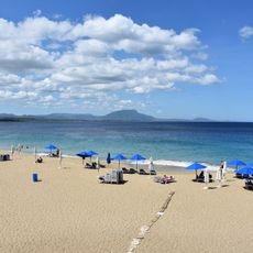
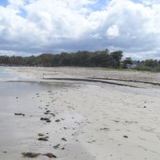
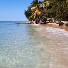
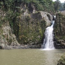
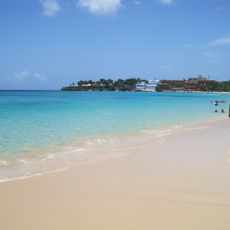
Puerto Plata Province is an administrative region in northern Dominican Republic that spreads across 1,852 square kilometers along the Atlantic coast. It includes nine municipalities such as Sosúa, Cabarete, and Playa Dorada, with San Felipe de Puerto Plata functioning as the provincial capital.

History

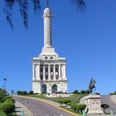
This territory was separated from Santiago Province in 1867 as a maritime district and gained official provincial status through the Dominican constitution of 1907. This transformation marked an important shift in how the region was governed and organized.

Culture

The region celebrates traditional carnival festivals during February and March, with local characters and dances that show Dominican heritage through music and movement. These festivities are woven into the daily rhythm of life here and draw visitors who want to experience local celebrations.

Practical

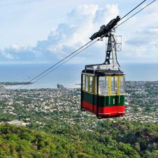
The province is easy to navigate since main towns like San Felipe de Puerto Plata are relatively accessible and well-connected by local roads. Visitors can reach the different municipalities easily, though traffic conditions can vary depending on the time of day.

Did you know?

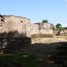
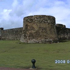
La Isabela, located within the region, stands as the first European settlement in the Americas, founded by Christopher Columbus in 1493. Today visitors can explore the remains of this historic site and understand the beginning of European presence in the New World.

Inception
1844
Capital city
Puerto Plata
Elevation above the sea
253 m
Shares border with
Monte Cristi Province, Valverde Province, Santiago Province, Espaillat Province
GPS coordinates
19.80000,-70.68333
Latest update
December 7, 2025 20:41

AroundUs brings together thousands of curated places, local tips, and hidden gems, enriched daily by 60,000 contributors worldwide. Discover all places nearby (Dominican Republic).

« Puerto Plata Province - Administrative province in northern Dominican Republic » is provided by Around Us (aroundus.com). Images and texts are derived from Wikimedia project under a Creative Commons license. You are allowed to copy, distribute, and modify copies of this page, under the conditions set by the license, as long as this note is clearly visible.

Discover hidden gems everywhere you go!

From secret cafés to breathtaking viewpoints, skip the crowded tourist spots and find places that match your style. Our app makes it easy with voice search, smart filtering, route optimization, and insider tips from travelers worldwide. Download now for the complete mobile experience.

Around Us App Screenshot

A unique approach to discovering new places

Le Figaro

All the places worth exploring

France Info

A tailor-made excursion in just a few clicks

20 Minutes

Around Us
Travel Guide & Maps
Download

Send to your phone

QR Code
1

Open the camera app on your mobile.

2

Point at the QR code with your camera. A notification will appear.

3

Tap the notification to open the link.