Valverde Province, Administrative province in northwestern Dominican Republic
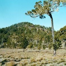
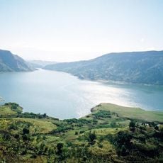
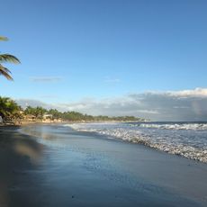
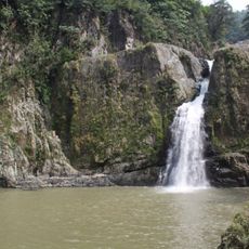
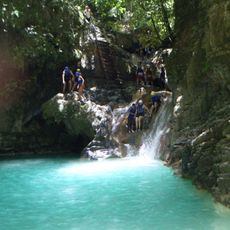
Valverde is a province in northwestern Dominican Republic that stretches across mountainous terrain and river valleys. The region's landscape is defined by the Yaque del Norte and its tributaries, which shape the lay of the land.
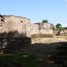
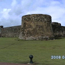
The province developed from territories first explored near La Isabela, where early colonial settlements took hold. These early roots shaped how the region grew and organized over the centuries that followed.
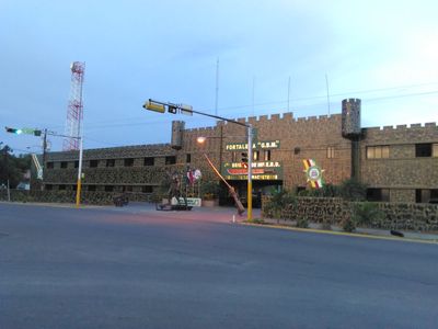
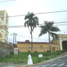
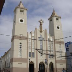
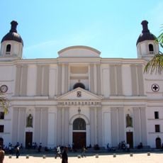
The capital Mao takes its name from the Taíno language, rooted in the nearby river that shapes how people live and work. Local traditions remain tied to farming practices and water management that have long been central to the region's way of life.
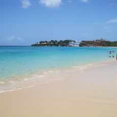
The region is best visited during drier months when weather conditions are most favorable for exploring the area. Main services and accommodations center around the capital, making it a logical starting point for understanding the province.
An early irrigation project built in the early 1900s transformed dry lands into productive rice fields and made the region an agricultural center. This water infrastructure allowed farmers to expand cultivation in ways that would not have been possible otherwise.
Location: Dominican Republic
Inception: 1959
Capital city: Mao
Elevation above the sea: 60 m
Shares border with: Monte Cristi Province, Puerto Plata Province, Santiago Province, Santiago Rodríguez Province
GPS coordinates: 19.56667,-71.08333
Latest update: December 7, 2025 10:07
Citadelle Laferrière
121.7 km
Pico Duarte
61.2 km
Sans-Souci Palace
119.1 km
Monumento de Santiago
42.7 kmJosé Armando Bermúdez National Park
50.5 km
Fortaleza San Felipe
48.4 km
Royal Chapel of Milot
119.4 km
Monte Cristi National Park
69 km
St. James the Apostle Cathedral, Santiago de los Caballeros
41.6 km
Fortaleza San Luis
42.1 km
St. Philip the Apostle Cathedral, Puerto Plata
48.2 km
Our Lady of the Assumption Cathedral, Cap-Haïtien
119.1 km
Lake Péligre
121 kmPueblo Viejo National Park
64.2 kmMonte Cristi Pipe Wreck
70.7 km
Encuentro Beach, Dominican Republic
70.5 km
Abreu (distrito municipal)
119.4 km
Morne Jean
121.6 kmBoukman Buhara Mosque
102.6 km
Puerto Plata Cable Car
44.9 km
Cabarete Beach
73.4 km
Playa Alicia
63.2 km
Playa Dorada
51.8 km
La Vega Vieja national park
64.2 km
Salto de Jimenoa Uno
73.6 km
Playa Sosúa
63.1 km
27 Waterfalls of Damajagua
33.4 km
Historical Centre of Puerto Plata
48.5 kmVisited this place? Tap the stars to rate it and share your experience / photos with the community! Try now! You can cancel it anytime.
Discover hidden gems everywhere you go!
From secret cafés to breathtaking viewpoints, skip the crowded tourist spots and find places that match your style. Our app makes it easy with voice search, smart filtering, route optimization, and insider tips from travelers worldwide. Download now for the complete mobile experience.
A unique approach to discovering new places❞
— Le Figaro
All the places worth exploring❞
— France Info
A tailor-made excursion in just a few clicks❞
— 20 Minutes