Honeymoon Island State Park, State park on a barrier island in Dunedin, United States
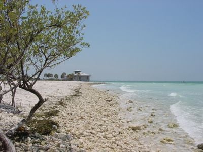
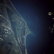
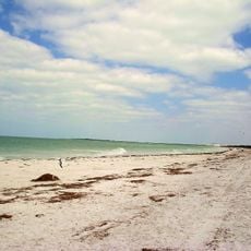
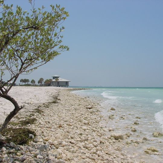
Honeymoon Island State Park protects most of a barrier island west of Dunedin, covering 2,824.52 acres with about 4.25 miles of Gulf shoreline, seagrass beds, mangrove swamps, slash pine flatwoods and coastal dunes. The island lies south of the Anclote Keys and north of Caladesi Island, from which it was separated by Hurricane Pass in 1921. A single-storey building with a pale exterior stands on low supports above a beach of small pale stones and shell fragments, its square flat-roofed tower rising centrally above the shallow-pitched roof.
The island was originally called Hog Island and was transformed into a destination for newlyweds during the 1940s when thatched huts were built to accommodate honeymooners. In the following decades the land passed into state ownership and was opened to the public as a park.
The island's name comes from Clinton M. Washburn's 1940 honeymoon resort, where about 50 palm-thatched cottages housed 164 couples before World War II. The Rotary Centennial Nature Center, dedicated in May 2007 with local Rotary clubs and volunteers, now serves as the park's interpretive hub. A concrete pad and two upright elements near the Osprey Center may be the only surviving traces of the resort.
The park is open daily from 8 am until sunset, and visitors can use restrooms, showers, picnic areas, and a café. An entry fee of 8 dollars per vehicle applies at the gate.
The island's northern tip is a sand finger that wind and waves have pushed more than 160 feet (50 m) seaward each year since the late 1970s. Near the Osprey Center, a concrete pad and two upright elements may be the last traces of Clinton Washburn's 1940 honeymoon resort.
The community of curious travelers
AroundUs brings together thousands of curated places, local tips, and hidden gems, enriched daily by 92,601 contributors worldwide.