
Gilchrist County, Administrative division in Florida, United States
Gilchrist County extends across 355 square miles of North Central Florida, featuring the Suwannee River along its western border and numerous natural springs throughout its territory.
Established in 1925 as Florida's most recent county, this territory received its name from Albert W. Gilchrist, who governed Florida between 1909 and 1913.
The five-member Board of County Commissioners maintains local governance traditions while managing public resources and development initiatives for the 17,000 county residents.
The County Administrator's office operates from 209 SE 1st Street in Trenton, providing administrative services and addressing community needs through dedicated phone lines.
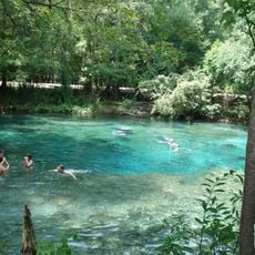
Natural springs dot the landscape of Gilchrist County, with Blue Springs Park offering year-round swimming opportunities in waters maintaining constant temperatures.
Location: Florida
Inception: December 4, 1925
Capital city: Trenton
Shares border with: Columbia County, Alachua County, Levy County, Dixie County, Suwannee County, Lafayette County
Website: http://gilchrist.fl.us
GPS coordinates: 29.73000,-82.80000
Latest update: May 27, 2025 09:56
Ginnie Springs
15.3 km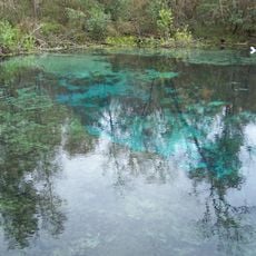
Ichetucknee Springs State Park
26.5 km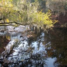
O'Leno State Park
29.5 km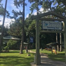
Santa Fe College Teaching Zoo
35.4 km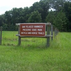
San Felasco Hammock Preserve State Park
34.6 km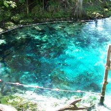
Fanning Springs State Park
20.6 km
Dudley Farm Historic State Park
26.4 km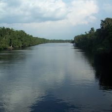
City of Hawkinsville
21.4 km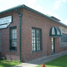
Coca-Cola Bottling Plant
12.7 km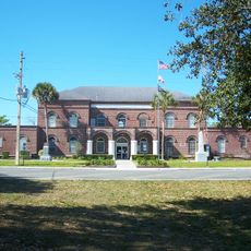
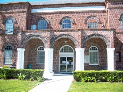
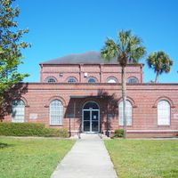
Gilchrist County Courthouse
13.1 km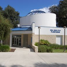
Kika Silva Pla Planetarium
35.9 km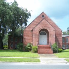
First Baptist Church
13 km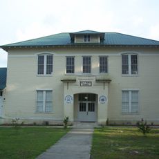
Old Town Elementary School
23.4 km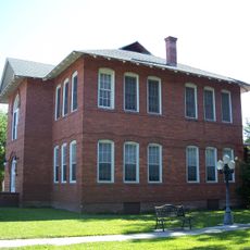
Newberry Historic District (Newberry, Florida)
20.3 km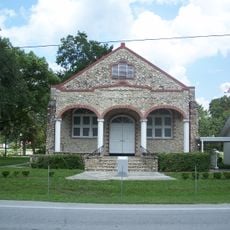
Trenton Church of Christ
13.2 km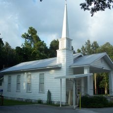
Old Town Methodist Church
22.8 km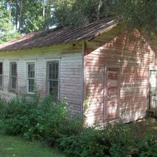
Liberty Hill Schoolhouse
36.9 km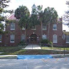
Levy County Courthouse
34.2 km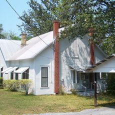
City of Alachua Downtown Historic District
30.2 km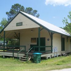
Archer Historical Society Museum
34.8 km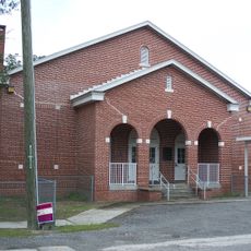
Fort White Public School Historic District
23.4 km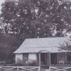
Cannon Farm
11.9 km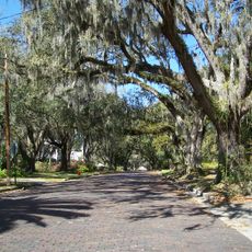
South Brooksville Avenue Historic District
23 km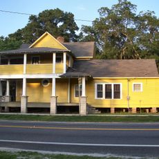
Sikes House
23 km
High Springs Historic District
22.3 km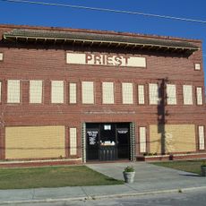
Priest Theater
22.3 km
Joe H. Anderson Sr. Bridge
20.6 km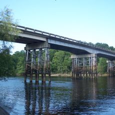
Cannon-McCollister Bridge
13.7 kmReviews
Visited this place? Tap the stars to rate it and share your experience / photos with the community! Try now! You can cancel it anytime.
Discover hidden gems everywhere you go!
From secret cafés to breathtaking viewpoints, skip the crowded tourist spots and find places that match your style. Our app makes it easy with voice search, smart filtering, route optimization, and insider tips from travelers worldwide. Download now for the complete mobile experience.

A unique approach to discovering new places❞
— Le Figaro
All the places worth exploring❞
— France Info
A tailor-made excursion in just a few clicks❞
— 20 Minutes