Enable Location

We need your location to show you interesting places around you

Discover nearby places

Find interesting locations and hidden gems around you

Precise directions

Get accurate directions and distances to places

Your location is never shared with other users. It's only used when you tap the location button.

Miller County

Log in to your account

Start exploring — it's free

Trusted by travelers worldwide

Continue with Google
Continue with Apple
or

We will send you a code to connect

By continuing, you accept our Terms and Conditions and our Privacy Policy

Check your inbox

We've sent a pincode in your inbox. Please enter the code below.

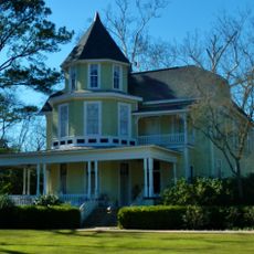
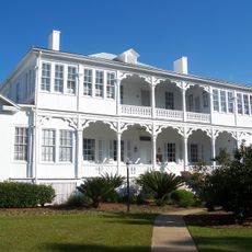
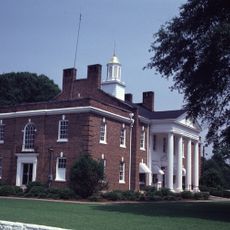
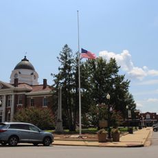
Miller County, Administrative division in Ozark region, Missouri.

Description

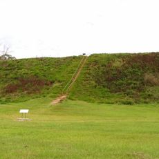
Miller County is an administrative division in the Ozark region of Missouri featuring rolling hills and wooded areas across its landscape. The territory includes both land and water surfaces integrated throughout the geography.

History

The county was established on February 6, 1837, and named after John Miller, who served as United States Representative and Governor of Missouri. Its creation reflected the expansion into the Ozark region during the early 1800s.

Culture

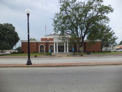
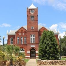
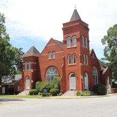
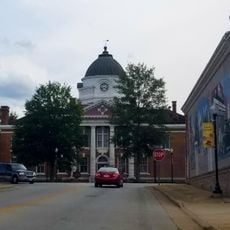
The county maintains strong local ties through yearly festivals and traditional gatherings that bring residents together across Tuscumbia and surrounding communities. Craft fairs and community events shape daily social life in the area.

Practical

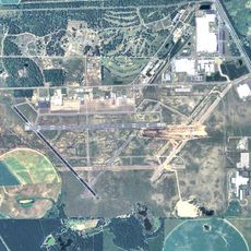
The county is connected by multiple transportation routes including U.S. Route 54 and various state routes that link the different areas together. These roads provide straightforward access and passage through the territory.

Did you know?

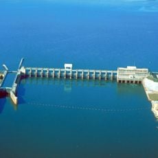
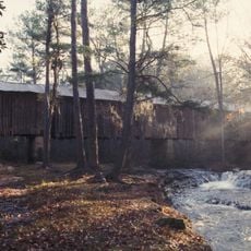
The area contains numerous waterways and recreational spaces that are integrated into the natural landscape throughout the region. Water surfaces form an important part of the territory's character.

GPS coordinates
31.15911,-84.73784
Latest update
December 10, 2025 15:54

AroundUs brings together thousands of curated places, local tips, and hidden gems, enriched daily by 60,000 contributors worldwide. Discover all places nearby (Miller County).

Around this place
Lake Seminole
United States of America

Lake Seminole

50.5 km
Kolomoki Mounds State Park
United States of America

Kolomoki Mounds State Park

38.5 km
Jim Woodruff Dam
United States of America

Jim Woodruff Dam

51.6 km
Decatur County Industrial Air Park
United States of America

Decatur County Industrial Air Park

23.7 km
Early County Courthouse
United States of America

Early County Courthouse

30.7 km
Coheelee Creek Covered Bridge
United States of America

Coheelee Creek Covered Bridge

36.3 km
Baker County Courthouse
United States of America

Baker County Courthouse

42 km
Ebenezer African Methodist Episcopal Church and School
United States of America

Ebenezer African Methodist Episcopal Church and School

49.5 km
First African Missionary Baptist Church
United States of America

First African Missionary Baptist Church

32.4 km
Purcell-Killingsworth House
United States of America

Purcell-Killingsworth House

38.7 km
Edison Commercial Historic District
United States of America

Edison Commercial Historic District

44.4 km
City Hall and Firehouse
United States of America

City Hall and Firehouse

32 km
U.S. Arsenal-Officers Quarters
United States of America

U.S. Arsenal-Officers Quarters

51.2 km
Colquitt Town Square Historic District
United States of America

Colquitt Town Square Historic District

1.5 km
Arlington United Methodist Church
United States of America

Arlington United Methodist Church

31.2 km
Seminole County Courthouse
United States of America

Seminole County Courthouse

19.2 km
Bainbridge Commercial Historic District
United States of America

Bainbridge Commercial Historic District

32.2 km
Decatur County Courthouse
United States of America

Decatur County Courthouse

32 km
James Price McRee House
United States of America

James Price McRee House

51.6 km
Blakely Court Square Historic District
United States of America

Blakely Court Square Historic District

30.6 km
J. W. Callahan House
United States of America

J. W. Callahan House

32.6 km
Donalsonville Historic District
United States of America

Donalsonville Historic District

18.9 km
Jane Donalson Harrell House
United States of America

Jane Donalson Harrell House

26 km
Calhoun County Courthouse
United States of America

Calhoun County Courthouse

44.1 km
Confederate Flagpole at Blakley
United States of America

Confederate Flagpole at Blakley

30.7 km
Apalachicola Arsenal Museum
United States of America

Apalachicola Arsenal Museum

51.2 km
Dunn Drive-In
United States of America

Dunn Drive-In

50.9 km
Edison Theater
United States of America

Edison Theater

44.5 km
Show the full map
« Miller County - Administrative division in Ozark region, Missouri » is provided by Around Us (aroundus.com). Images and texts are derived from Wikimedia project under a Creative Commons license. You are allowed to copy, distribute, and modify copies of this page, under the conditions set by the license, as long as this note is clearly visible.

Discover hidden gems everywhere you go!

From secret cafés to breathtaking viewpoints, skip the crowded tourist spots and find places that match your style. Our app makes it easy with voice search, smart filtering, route optimization, and insider tips from travelers worldwide. Download now for the complete mobile experience.

Around Us App Screenshot

A unique approach to discovering new places

Le Figaro

All the places worth exploring

France Info

A tailor-made excursion in just a few clicks

20 Minutes

Around Us
Travel Guide & Maps
Download

Send to your phone

QR Code
1

Open the camera app on your mobile.

2

Point at the QR code with your camera. A notification will appear.

3

Tap the notification to open the link.