Enable Location

We need your location to show you interesting places around you

Discover nearby places

Find interesting locations and hidden gems around you

Precise directions

Get accurate directions and distances to places

Your location is never shared with other users. It's only used when you tap the location button.

Suwannee County

Log in to your account

Start exploring — it's free

Trusted by 61,665 travelers worldwide

Continue with Google
Continue with Apple
or

We will send you a code to connect

By continuing, you accept our Terms and Conditions and our Privacy Policy

Check your inbox

We've sent a pincode in your inbox. Please enter the code below.

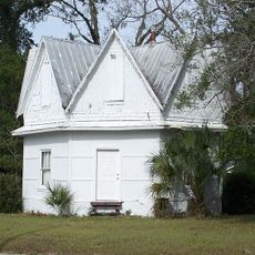
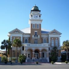
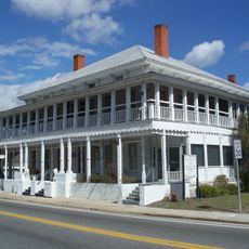
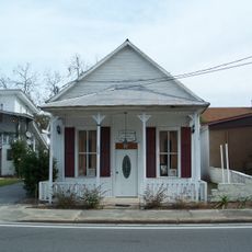
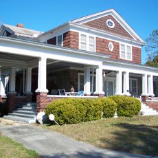
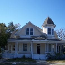
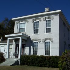
Suwannee County, County administrative division in Live Oak, Florida, United States.

Description

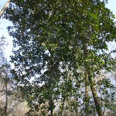
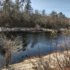
Suwannee County is an administrative division in north central Florida covering about 1,050 square miles, with the Suwannee River forming a natural boundary on three sides. The region is characterized by natural springs, forests, and river systems that shape its geography and character.

History

The county was officially established on December 21, 1858, when railroad construction connected Jacksonville and Tallahassee through the region. This transportation link brought growth and settlement to the area during Florida's early expansion.

Culture

The Suwannee County Regional Library System began in 1957 as Florida's first regional library partnership, showing how communities worked together to share resources. These libraries remain gathering places that reflect local values and connect residents to each other.

Practical

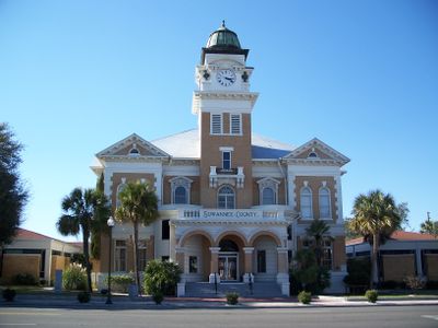
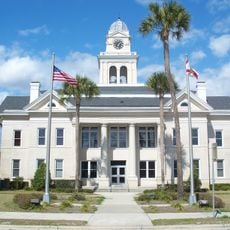
Live Oak serves as the administrative center where residents can handle government services and access public records. Interstate 10 runs east-west across the county, making travel and navigation straightforward for visitors and locals alike.

Did you know?

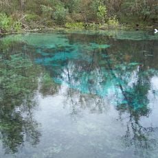
The region contains numerous natural springs fed by underground limestone formations, creating scenic waterways throughout the county. These water sources have historically drawn settlers and continue to define the landscape today.

Location
Inception
December 21, 1858
Capital city
Live Oak
Reference
12-121
Shares border with
Hamilton County, Lafayette County, Columbia County, Gilchrist County, Madison County
GPS coordinates
30.19000,-82.99000
Latest update
December 13, 2025 22:47

AroundUs brings together thousands of curated places, local tips, and hidden gems, enriched daily by 60,000 contributors worldwide. Discover all places nearby (Florida).

Around this place
Ichetucknee Springs State Park
United States of America

Ichetucknee Springs State Park

32.2 km
United States of America

Suwannee River State Park

27 km
United States of America

Stephen Foster Folk Culture Center State Park

26.6 km
United States of America

Wes Skiles Peacock Springs State Park

15.7 km
United States of America

Lafayette Blue Springs State Park

23.8 km
Twin Rivers State Forest
United States of America

Twin Rivers State Forest

28.5 km
Hal W. Adams Bridge
United States of America

Hal W. Adams Bridge

20.2 km
House of the Seven Gables
United States of America

House of the Seven Gables

23.5 km
Suwannee County Courthouse
United States of America

Suwannee County Courthouse

11.7 km
United States of America

Troy Spring State Park

20.5 km
Lafayette County Courthouse
United States of America

Lafayette County Courthouse

23.5 km
Old Lafayette County Courthouse
United States of America

Old Lafayette County Courthouse

23.4 km
White Springs Historic District
United States of America

White Springs Historic District

27.1 km
M. Pico Building
United States of America

M. Pico Building

23.5 km
Old Live Oak City Hall
United States of America

Old Live Oak City Hall

12 km
Stephen Foster Folk Culture Center State Park
United States of America

Stephen Foster Folk Culture Center State Park

26.9 km
Old Mayo Free Press Building
United States of America

Old Mayo Free Press Building

23.4 km
Hull-Hawkins House
United States of America

Hull-Hawkins House

7.3 km
George Allison House
United States of America

George Allison House

12.3 km
United States of America

Fort White Wildlife and Environmental Area

37.2 km
Dr. Price House
United States of America

Dr. Price House

11.3 km
Bishop B. Blackwell House
United States of America

Bishop B. Blackwell House

11.6 km
United States of America

Ogden Lake

21.5 km
United States of America

Ichetucknee Springs

31.8 km
United States of America

Bethea Lake

18.7 km
United States of America

Low Lake

15.3 km
United States of America

Tiger Lake

6.7 km
United States of America

Jackson Pond

27 km
Show the full map
Administrative divisions
« Suwannee County - County administrative division in Live Oak, Florida, United States » is provided by Around Us (aroundus.com). Images and texts are derived from Wikimedia project under a Creative Commons license. You are allowed to copy, distribute, and modify copies of this page, under the conditions set by the license, as long as this note is clearly visible.

Discover hidden gems everywhere you go!

From secret cafés to breathtaking viewpoints, skip the crowded tourist spots and find places that match your style. Our app makes it easy with voice search, smart filtering, route optimization, and insider tips from travelers worldwide. Download now for the complete mobile experience.

Around Us App Screenshot

A unique approach to discovering new places

Le Figaro

All the places worth exploring

France Info

A tailor-made excursion in just a few clicks

20 Minutes

Around Us
Travel Guide & Maps
Download

Send to your phone

QR Code
1

Open the camera app on your mobile.

2

Point at the QR code with your camera. A notification will appear.

3

Tap the notification to open the link.