Jeff Davis County

Log in to your account

AroundUs is a community-driven map of interesting places, built by curious explorers like you. It grows with every review, story, and photo you share.
Connect to save your favorite spots, contribute locations, and create personalized routes.
Continue with Google
Continue with Apple
Continue with X
Continue with Facebook
Continue with email
By continuing, you accept our Terms and Conditions and our Privacy Policy
Create an account
Add to collection
Map
Suggest a change
Share

Jeff Davis County, County administrative division in Texas, United States

Jeff Davis County is an administrative division in Texas with varied terrain shaped by natural features and geography. The Fort Davis National Historic Site sits within its boundaries and serves as a key destination for visitors exploring the region.

The area was founded in 1887 and named after Jefferson Davis, who served as Secretary of War before the Civil War. Military operations at the fort shaped early development and settlement patterns in the region.

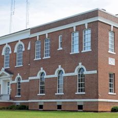
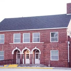
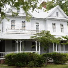
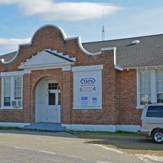
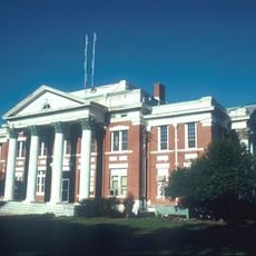
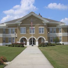
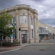
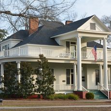
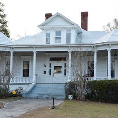
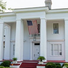
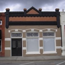
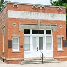
Fort Davis, the county seat, shows buildings from the region's frontier settlement era. The town reflects how military presence shaped local identity and remains central to how residents understand their home.

The area is sparsely populated with Fort Davis as the main town where visitors can find lodging and basic services. The best time to explore is during milder months, as summer heat can be intense in this part of Texas.

The county touches Mexico at a single point, making it the only county in the United States with this geographical feature. This boundary point represents a rare geographic oddity that underscores the region's remote location.

GPS coordinates: 31.77469,-82.68007

Latest update: December 7, 2025 19:27

Photos
Around this place
Coffee High School
United States of America

Coffee High School

30.1 km
General Coffee State Park
United States of America

General Coffee State Park

30.4 km
Little Ocmulgee State Park
United States of America

Little Ocmulgee State Park

40.8 km
63rd Army Air Forces Contract Pilot School
United States of America

63rd Army Air Forces Contract Pilot School

36.6 km
Bacon County Courthouse
United States of America

Bacon County Courthouse

33.2 km
Woodland
United States of America

Woodland

25 km
Pace House
United States of America

Pace House

13 km
Telfair County Courthouse and Jail
United States of America

Telfair County Courthouse and Jail

38.4 km
Appling County Courthouse
United States of America

Appling County Courthouse

31.3 km
Bacon County Elementary School
United States of America

Bacon County Elementary School

32.8 km
C. W. Deen House
United States of America

C. W. Deen House

31.4 km
Glenwood High School
United States of America

Glenwood High School

45 km
Wheeler County Courthouse
United States of America

Wheeler County Courthouse

42.6 km
Jeff Davis County Courthouse
United States of America

Jeff Davis County Courthouse

12.3 km
Lonnie A. Pope House
United States of America

Lonnie A. Pope House

33.6 km
Vidalia Commercial Historic District
United States of America

Vidalia Commercial Historic District

55.5 km
Peterson-Wilbanks House
United States of America

Peterson-Wilbanks House

55 km
Crawford W. Brazell House
United States of America

Crawford W. Brazell House

54.7 km
Jim Smith House
United States of America

Jim Smith House

48.6 km
Union Banking Company Building
United States of America

Union Banking Company Building

33.7 km
Montgomery County Courthouse
United States of America

Montgomery County Courthouse

45.2 km
Leader–Rosansky House
United States of America

Leader–Rosansky House

55 km
Downtown Douglas Historic District
United States of America

Downtown Douglas Historic District

33.9 km
Eleventh District A & M School-South Georgia College Historic District
United States of America

Eleventh District A & M School-South Georgia College Historic District

35.2 km
Telfair Center for the Arts
United States of America

Telfair Center for the Arts

39.2 km
Max and Emma Sue McRae House
United States of America

Max and Emma Sue McRae House

38.4 km
Citizens Bank of Vidalia
United States of America

Citizens Bank of Vidalia

55.5 km
Bank of Surrency
United States of America

Bank of Surrency

45.9 km
Show the full map
Reviews

Visited this place? Tap the stars to rate it and share your experience / photos with the community! Try now! You can cancel it anytime.

« Jeff Davis County - County administrative division in Texas, United States » is provided by Around Us (aroundus.com). Images and texts are derived from Wikimedia project under a Creative Commons license. You are allowed to copy, distribute, and modify copies of this page, under the conditions set by the license, as long as this note is clearly visible.

Discover hidden gems everywhere you go!

From secret cafés to breathtaking viewpoints, skip the crowded tourist spots and find places that match your style. Our app makes it easy with voice search, smart filtering, route optimization, and insider tips from travelers worldwide. Download now for the complete mobile experience.

Around Us App Screenshot

A unique approach to discovering new places

Le Figaro

All the places worth exploring

France Info

A tailor-made excursion in just a few clicks

20 Minutes