Chest opened
+${chestReward.xp} XP
Explorer
NOUVEAU ×${chestReward.collectible.quantity}
tapez pour fermer

See the monuments around you in AR Open chests in the app

Around Us is built for your phone — point your camera at the streets and discover the monuments and places around you in augmented reality. Around Us is built for your phone — chests unlock when you walk, explore and capture nearby places.

•

Enable Location

We need your location to show you interesting places around you

Discover nearby places

Find interesting locations and hidden gems around you

Precise directions

Get accurate directions and distances to places

Your location is never shared with other users. It's only used when you tap the location button.

Marion County

Log in to your account

Start exploring — it's free

Trusted by 89,573 travelers worldwide

Continue with Google
Continue with Apple
or

We will send you a code to connect

By continuing, you accept our Terms and Conditions and our Privacy Policy

Check your inbox

We've sent a pincode in your inbox. Please enter the code below.

Discussion Reviews 1 Photos
12.4k Popularity

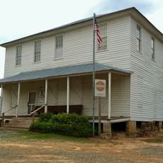
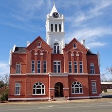
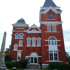
Marion County, Administrative division in Georgia, United States

Audio guide · About one minute
Preparing your audio guide… The audio guide could not be loaded, please retry.Sign in to listen to the audio guide

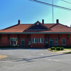
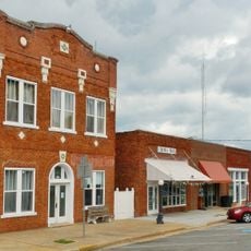
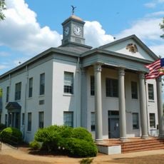
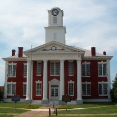
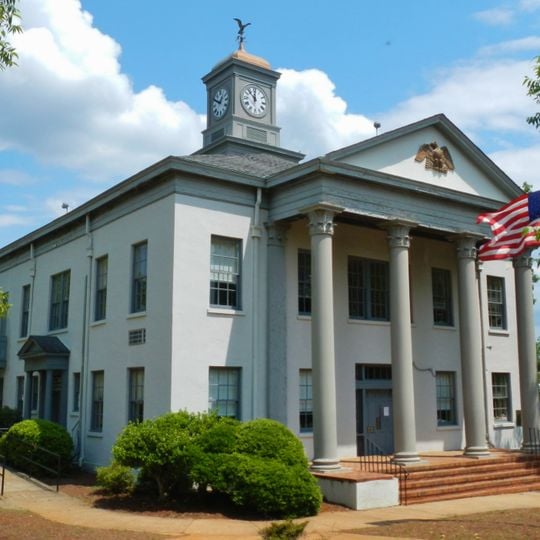
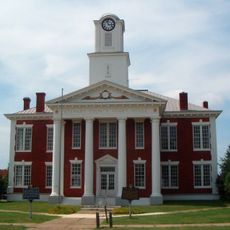
Marion County spans a region in west-central Georgia with primarily agricultural land and forest areas. The governmental center is located in Buena Vista and serves as the hub for county services.

The county was named in 1827 to honor General Francis Marion, a Revolutionary War leader. This naming reflects the region's connection to early American history.

The community celebrates its farming roots through annual gatherings at the fairgrounds, where residents display livestock and local produce. These events remain central to local life and reflect the area's deep ties to agriculture.

The county administration operates on weekdays from the governmental complex in Buena Vista for official matters. The best time to visit is during the annual fair when the community is actively gathering.

The region is a significant producer of peanuts and contributes substantially to Georgia's reputation as a leading grower. This specialization shapes the area's economy and identity.

The community of curious travelers

AroundUs brings together thousands of curated places, local tips, and hidden gems, enriched daily by 60,000 contributors worldwide.
Start exploring
GPS coordinates
32.34733,-84.52826
Latest update
September 12, 2026 01:02
Around this place
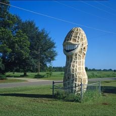
Jimmy Carter Peanut Statue
United States of America

Jimmy Carter Peanut Statue

22.6 mi
National Infantry Museum
United States of America

National Infantry Museum

25.1 mi
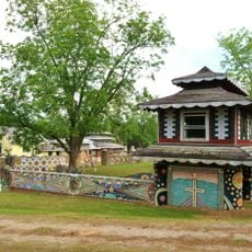
Pasaquan
United States of America

Pasaquan

3.1 mi
Jimmy Carter National Historical Park
United States of America

Jimmy Carter National Historical Park

22.9 mi
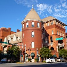
Windsor Hotel
United States of America

Windsor Hotel

25.7 mi
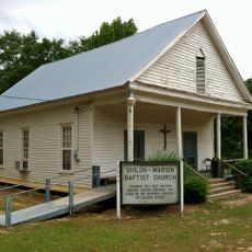
Shiloh-Marion Baptist Church and Cemetery
United States of America

Shiloh-Marion Baptist Church and Cemetery

13 mi
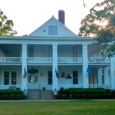
Riverside
United States of America

Riverside

25.2 mi
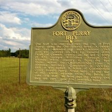
Fort Perry
United States of America

Fort Perry

9.1 mi
Hilton
United States of America

Hilton

26.3 mi
Calvary Episcopal Church
United States of America

Calvary Episcopal Church

26.1 mi
Lumpkin Commercial Historic District
United States of America

Lumpkin Commercial Historic District

25.8 mi
Taylor County Courthouse
United States of America

Taylor County Courthouse

22.3 mi
Richland Historic District
United States of America

Richland Historic District

19.4 mi
Boyd Mill Place
United States of America

Boyd Mill Place

26.2 mi
Stewart County Courthouse
United States of America

Stewart County Courthouse

25.8 mi
Butler Downtown Historic District
United States of America

Butler Downtown Historic District

22.3 mi
Uptown Residential Historic District
United States of America

Uptown Residential Historic District

25.8 mi
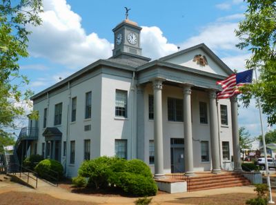
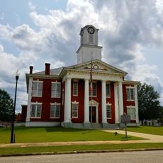
Marion County Courthouse
United States of America

Marion County Courthouse

2.1 mi
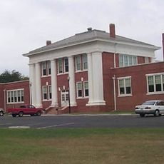
Old Marion County Courthouse
United States of America

Old Marion County Courthouse

5.6 mi
Schley County Courthouse
United States of America

Schley County Courthouse

14.9 mi
Armstrong House
United States of America

Armstrong House

25.7 mi
Talbot County Courthouse
United States of America

Talbot County Courthouse

22.8 mi
Webster County Courthouse
United States of America

Webster County Courthouse

19.5 mi
Stewart County
United States of America

Stewart County

26 mi
Lockhart–Cosby Plantation
United States of America

Lockhart–Cosby Plantation

22.3 mi
National Prisoner of War Museum
United States of America

National Prisoner of War Museum

25.6 mi
Americus Historic District
United States of America

Americus Historic District

25.9 mi

Show the full map
Reviews
Share your experience

No review yet

Discussions
Start a discussion...

No discussion yet

« Marion County - Administrative division in Georgia, United States » is provided by Around Us (aroundus.com). Images and texts are derived from Wikimedia project under a Creative Commons license. You are allowed to copy, distribute, and modify copies of this page, under the conditions set by the license, as long as this note is clearly visible.

Discover hidden gems everywhere you go!

From secret cafés to breathtaking viewpoints, skip the crowded tourist spots and find places that match your style. Our app makes it easy with voice search, smart filtering, route optimization, and insider tips from travelers worldwide. Download now for the complete mobile experience.
Around Us App Screenshot
❝

A unique approach to discovering new places❞

— Le Figaro

❝

All the places worth exploring❞

— France Info

❝

A tailor-made excursion in just a few clicks❞

— 20 Minutes

Around Us
Travel Guide & Maps
Download

Send to your phone

QR Code
1

Open the camera app on your mobile.

2

Point at the QR code with your camera. A notification will appear.

3

Tap the notification to open the link.