Chest opened
+${chestReward.xp} XP
Explorer
NOUVEAU ×${chestReward.collectible.quantity}
tapez pour fermer
Chest locked

Open chests in the app

Around Us is built for your phone — chests unlock when you walk, explore and capture nearby places.

Enable Location

We need your location to show you interesting places around you

Discover nearby places

Find interesting locations and hidden gems around you

Precise directions

Get accurate directions and distances to places

Your location is never shared with other users. It's only used when you tap the location button.

Log in to your account

Start exploring — it's free

Trusted by 72,890 travelers worldwide

Continue with Google
Continue with Apple
or

We will send you a code to connect

By continuing, you accept our Terms and Conditions and our Privacy Policy

Check your inbox

We've sent a pincode in your inbox. Please enter the code below.

Discussion Reviews Photo
13k Popularity

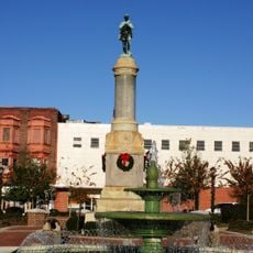
Blackville, Administrative division in Barnwell County, South Carolina, United States.

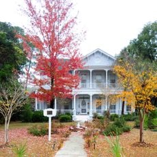
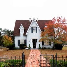
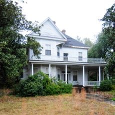
Blackville is a town in northeastern Barnwell County, South Carolina, covering about 9 square miles of land. Residential areas sit among agricultural fields and wooded sections.

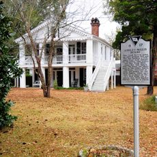
The town was officially incorporated in 1888 and named after Alexander Black, a key figure in South Carolina's railroad development. This early connection to transportation shaped the settlement's growth.

The people of Blackville maintain their connection to rural life through farming and regular gatherings at the town center. These everyday meetings shape community bonds and local social life.

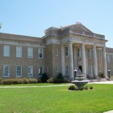
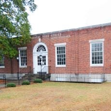
The Municipal Building is located on Lartigue Street North and serves as the main hub for town services and administration. This is where residents can handle local government matters.

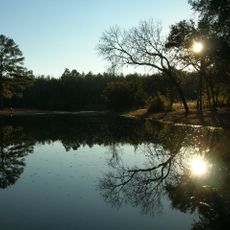
Within town limits sits God's Acre Healing Springs, natural water sources with deep local history. Though privately owned, visitors can access these distinctive sites by permission.

The community of curious travelers

AroundUs brings together thousands of curated places, local tips, and hidden gems, enriched daily by 60,000 contributors worldwide.

Start exploring
GPS coordinates
33.35512,-81.27072
Latest update
December 7, 2025 20:42
Around this place
United States of America

Topper

39 km
American Telephone and Telegraph Company Building
United States of America

American Telephone and Telegraph Company Building

12.4 km
All-Star Triangle Bowl
United States of America

All-Star Triangle Bowl

41.2 km
Rivers Bridge State Park
United States of America

Rivers Bridge State Park

37.1 km
Aiken State Park
United States of America

Aiken State Park

29.4 km
Gen. Francis Marion Bamberg House
United States of America

Gen. Francis Marion Bamberg House

21.6 km
Woodlands
United States of America

Woodlands

32.4 km
Hotel Eutaw
United States of America

Hotel Eutaw

41 km
Copeland House
United States of America

Copeland House

35.7 km
Ashley-Willis House
United States of America

Ashley-Willis House

15.5 km
Williams Chapel A.M.E. Church
United States of America

Williams Chapel A.M.E. Church

40.8 km
Dixie Library Building
United States of America

Dixie Library Building

40.4 km
Bethlehem Baptist Church
United States of America

Bethlehem Baptist Church

15 km
Church of the Holy Apostles Rectory
United States of America

Church of the Holy Apostles Rectory

15.5 km
Old Presbyterian Church
United States of America

Old Presbyterian Church

15.1 km
Salley Historic District
United States of America

Salley Historic District

23.6 km
Allendale County Courthouse
United States of America

Allendale County Courthouse

38.2 km
Bamberg City Hall
United States of America

Bamberg City Hall

22.9 km
Denmark High School
United States of America

Denmark High School

12.4 km
Springfield High School
United States of America

Springfield High School

15.6 km
Mizpah Methodist Church
United States of America

Mizpah Methodist Church

27.6 km
Orangeburg City Cemetery
United States of America

Orangeburg City Cemetery

40.4 km
F.H.W. Briggman House
United States of America

F.H.W. Briggman House

40.5 km
Bamberg Post Office
United States of America

Bamberg Post Office

23 km
Banksia Hall
United States of America

Banksia Hall

14.8 km
Orangeburg Downtown Historic District
United States of America

Orangeburg Downtown Historic District

40.7 km
Bamberg Historic District
United States of America

Bamberg Historic District

23.1 km
Great Branch Teacherage
United States of America

Great Branch Teacherage

31 km
Show the full map
Reviews
Share your experience

No review yet

Discussions
Start a discussion...

No discussion yet

« Blackville - Administrative division in Barnwell County, South Carolina, United States » is provided by Around Us (aroundus.com). Images and texts are derived from Wikimedia project under a Creative Commons license. You are allowed to copy, distribute, and modify copies of this page, under the conditions set by the license, as long as this note is clearly visible.

Discover hidden gems everywhere you go!

From secret cafés to breathtaking viewpoints, skip the crowded tourist spots and find places that match your style. Our app makes it easy with voice search, smart filtering, route optimization, and insider tips from travelers worldwide. Download now for the complete mobile experience.

Around Us App Screenshot

A unique approach to discovering new places

Le Figaro

All the places worth exploring

France Info

A tailor-made excursion in just a few clicks

20 Minutes

Around Us
Travel Guide & Maps
Download

Send to your phone

QR Code
1

Open the camera app on your mobile.

2

Point at the QR code with your camera. A notification will appear.

3

Tap the notification to open the link.