Chest opened
+${chestReward.xp} XP
Explorer
NOUVEAU ×${chestReward.collectible.quantity}
tapez pour fermer

See the monuments around you in AR Open chests in the app

Around Us is built for your phone — point your camera at the streets and discover the monuments and places around you in augmented reality. Around Us is built for your phone — chests unlock when you walk, explore and capture nearby places.

•

Enable Location

We need your location to show you interesting places around you

Discover nearby places

Find interesting locations and hidden gems around you

Precise directions

Get accurate directions and distances to places

Your location is never shared with other users. It's only used when you tap the location button.

Pinnacles National Park

Log in to your account

Start exploring — it's free

Trusted by 89,090 travelers worldwide

Continue with Google
Continue with Apple
or

We will send you a code to connect

By continuing, you accept our Terms and Conditions and our Privacy Policy

Check your inbox

We've sent a pincode in your inbox. Please enter the code below.

Discussion Reviews 2 Photos
109k Popularity

Pinnacles National Park, National park in San Benito County, United States.

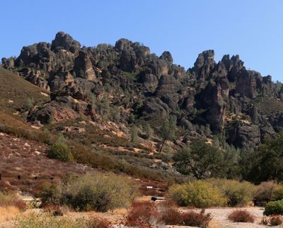
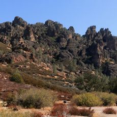
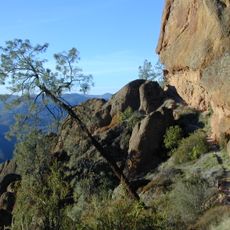
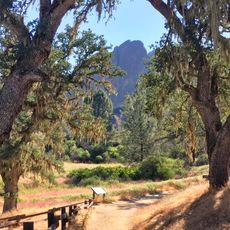
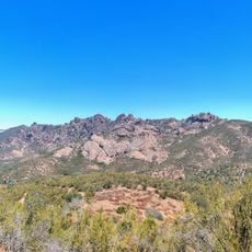
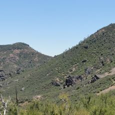
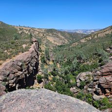
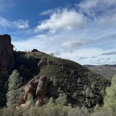
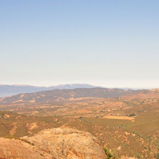
Pinnacles National Park is a national park in San Benito County east of Salinas Valley in Central California. The eroded volcanic remnants form rock spires and cliffs across a mountainous landscape, offering hikers narrow gorges and rocky summits.

President Theodore Roosevelt designated the territory as a national monument in 1908, and it gained national park status in January 2013. Volcanic activity shaped the rocks about 23 million years ago, while tectonic shifts moved them from their original location south of the park.

The Chalon and Mutsun groups of the Ohlone people lived in this territory and left stone tools within the current park boundaries. Their traces appear at several spots along the trails, where visitors can find signs of earlier settlements.

The park divides into eastern and western sections connected only by hiking trails, with no through road between them. A campground sits in the eastern half near the visitor center, and most trails require moderate to demanding fitness because of elevation and rocky terrain.

The volcanic formations contain talus caves that shelter 13 bat species and serve as nesting grounds for California condors. Some of these caves remain dark and cool year-round, while the condors nest on rocky ledges above the peaks.

The community of curious travelers

AroundUs brings together thousands of curated places, local tips, and hidden gems, enriched daily by 60,000 contributors worldwide.
Start exploring
Inception
January 10, 2013
Operator
National Park Service
GPS coordinates
36.48628,-121.17337
Latest update
September 16, 2026 21:38
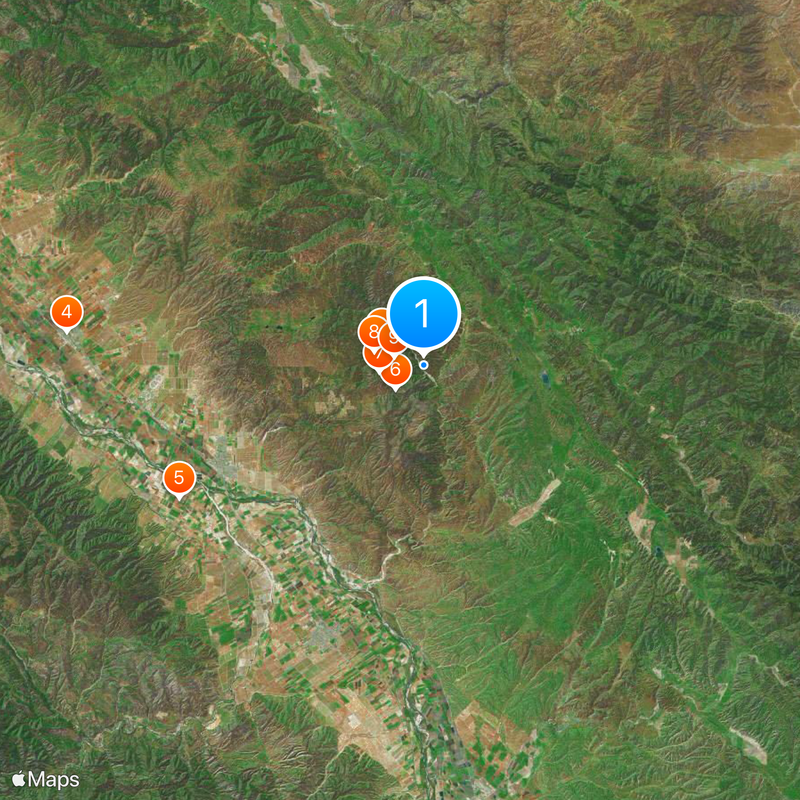
Around this place
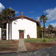
Mission Nuestra Señora de la Soledad
United States of America

Mission Nuestra Señora de la Soledad

11.6 mi
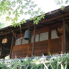
Tassajara Zen Mountain Center
United States of America

Tassajara Zen Mountain Center

24.6 mi
Laguna Mountain Recreation Area
United States of America

Laguna Mountain Recreation Area

20.3 mi
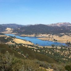
Hernandez Reservoir
United States of America

Hernandez Reservoir

20.7 mi
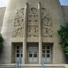
King City High School Auditorium
United States of America

King City High School Auditorium

19.2 mi
Pinnacles National Forest
United States of America

Pinnacles National Forest

1.8 mi
Odd Fellows Hall
United States of America

Odd Fellows Hall

15 mi
Mission Soledad
United States of America

Mission Soledad

11.6 mi
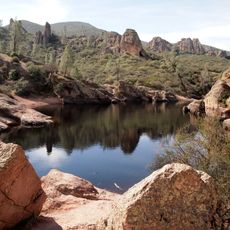
Bear Gulch Reservoir
United States of America

Bear Gulch Reservoir

1.3 mi
Juniper Canyon Trail
United States of America

Juniper Canyon Trail

1.6 mi
Balconies Trail
United States of America

Balconies Trail

1.9 mi
West Visitor Contact Station
United States of America

West Visitor Contact Station

3 mi
Bear Valley School
United States of America

Bear Valley School

3.6 mi
Chalone Peak Lookout
United States of America

Chalone Peak Lookout

2.9 mi
Moses Spring Trailhead
United States of America

Moses Spring Trailhead

0.8 mi
Old Pinnacles Trailhead
United States of America

Old Pinnacles Trailhead

0.6 mi
United States of America

Moses Spring Trail

0.9 mi
United States of America

Pinnacles Visitor Center

1.6 mi
United States of America

High Peaks Trailhead (Southernmost)

0.8 mi
United States of America

Hollister Hills SVRA Upper Ranch

23.6 mi
United States of America

Upper Ranch Entrance

22.6 mi
United States of America

Sycamore Flats

19.4 mi
United States of America

Sculpture

15.1 mi
United States of America

Condor Gulch Overloook

1.1 mi
United States of America

Teaching Rock

1.1 mi
United States of America

Scenic viewpoint

20.8 mi
United States of America

Hector Heights Overlook

22.4 mi
United States of America

Laguna falls

21.9 mi
Show the full map
Reviews
Share your experience

No review yet

Discussions
Start a discussion...

No discussion yet

« Pinnacles National Park - National park in San Benito County, United States » is provided by Around Us (aroundus.com). Images and texts are derived from Wikimedia project under a Creative Commons license. You are allowed to copy, distribute, and modify copies of this page, under the conditions set by the license, as long as this note is clearly visible.

Discover hidden gems everywhere you go!

From secret cafés to breathtaking viewpoints, skip the crowded tourist spots and find places that match your style. Our app makes it easy with voice search, smart filtering, route optimization, and insider tips from travelers worldwide. Download now for the complete mobile experience.

Around Us App Screenshot
❝

A unique approach to discovering new places❞

— Le Figaro

❝

All the places worth exploring❞

— France Info

❝

A tailor-made excursion in just a few clicks❞

— 20 Minutes

Around Us
Travel Guide & Maps
Download

Send to your phone

QR Code
1

Open the camera app on your mobile.

2

Point at the QR code with your camera. A notification will appear.

3

Tap the notification to open the link.