San Benito County, Rural administrative division in California, United States
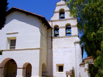
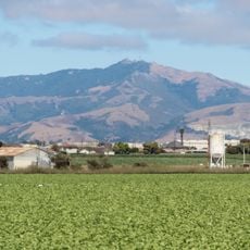
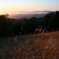
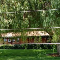
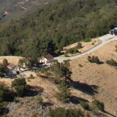
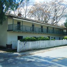
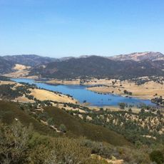
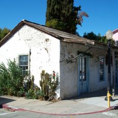
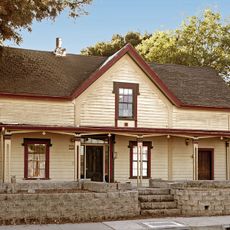
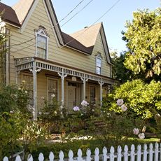
San Benito County is a rural administrative division in central California with farming valleys, rolling terrain, and natural reserves spread across the landscape. The county includes small towns, agricultural land, and protected wild areas that shape its appearance and character.
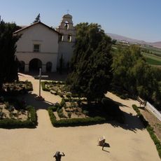
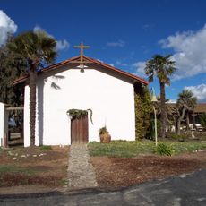
The county was established in 1874 when it separated from Monterey County and shifted from a Gold Rush passage route into an agricultural region. This change laid the foundation for the farming-based economy that continues today.
The county fair brings together farmers and artisans to display local crops and handmade goods, reflecting how agriculture shapes community life. People gather there to celebrate what the land produces and the skills passed down through generations.
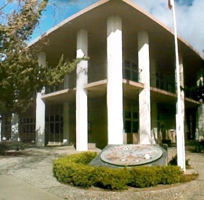
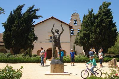
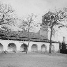
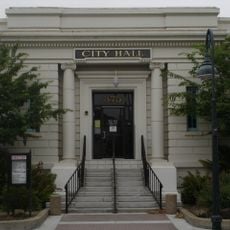
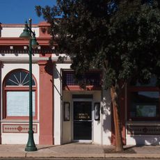
The county connects to major California cities through U.S. Route 101 and State Route 25, with Hollister as the main commercial hub. You can find shops, dining, and services there to support a visit to the area.
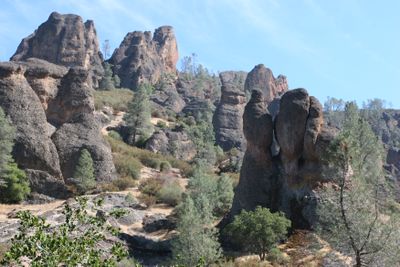
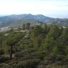
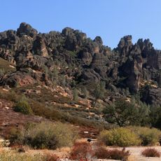
Pinnacles National Park within the county contains ancient volcanic rock formations and shelters California condors alongside numerous other bird species. This geological feature draws bird watchers and nature enthusiasts from across the region.
Location: California
Inception: 1850
Capital city: Hollister
Shares border with: Monterey County, Fresno County, Merced County, Santa Clara County, Santa Cruz County
Website: http://san-benito.ca.us
GPS coordinates: 36.61000,-121.08000
Latest update: December 14, 2025 18:26
Photo license: CC0
Pinnacles National Park
15.8 km
Mission San Juan Bautista
48.4 km
Mission Nuestra Señora de la Soledad
33.7 km
Tassajara Zen Mountain Center
53 km
Tassajara Hot Springs
59.4 km
Fremont Peak
41.3 km
Fremont Peak State Park
41.2 km
Randall Fawcett House
45.4 km
San Juan Bautista State Historic Park
48.3 km
San Benito mountain
47.3 km
Chews Ridge Lookout
54.9 km
Laguna Mountain Recreation Area
35.6 km
Fremont Peak Observatory
41 km
Jose Castro House
48.3 km
Hernandez Reservoir
34.1 km
Juan de Anza House
48.3 km
King City High School Auditorium
44.7 km
Santa Rita peak
51.9 km
Hollister Carnegie Library
39.3 km
Pinnacles National Forest
16.3 km
Rozas House
48.5 km
Laveaga Peak
32.4 km
Monterey Zoo
48.8 km
Benjamin Wilcox House
47.9 km
Odd Fellows Hall
34.4 km
San Juan Bautista Historic District
48.5 km
Black Mountain
31.8 km
Marentis House
48.9 kmVisited this place? Tap the stars to rate it and share your experience / photos with the community! Try now! You can cancel it anytime.
Discover hidden gems everywhere you go!
From secret cafés to breathtaking viewpoints, skip the crowded tourist spots and find places that match your style. Our app makes it easy with voice search, smart filtering, route optimization, and insider tips from travelers worldwide. Download now for the complete mobile experience.
A unique approach to discovering new places❞
— Le Figaro
All the places worth exploring❞
— France Info
A tailor-made excursion in just a few clicks❞
— 20 Minutes