Chest opened
+${chestReward.xp} XP
Explorer
NOUVEAU ×${chestReward.collectible.quantity}
tapez pour fermer

See the monuments around you in AR Open chests in the app

Around Us is built for your phone — point your camera at the streets and discover the monuments and places around you in augmented reality. Around Us is built for your phone — chests unlock when you walk, explore and capture nearby places.

Enable Location

We need your location to show you interesting places around you

Discover nearby places

Find interesting locations and hidden gems around you

Precise directions

Get accurate directions and distances to places

Your location is never shared with other users. It's only used when you tap the location button.

Laguna Mountain Recreation Area

Log in to your account

Start exploring — it's free

Trusted by 86,801 travelers worldwide

Continue with Google
Continue with Apple
or

We will send you a code to connect

By continuing, you accept our Terms and Conditions and our Privacy Policy

Check your inbox

We've sent a pincode in your inbox. Please enter the code below.

Laguna Mountain Recreation Area
Discussion Reviews 1 Photos
2.2k Popularity

Laguna Mountain Recreation Area, Public recreation area in San Benito County, United States.

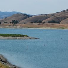
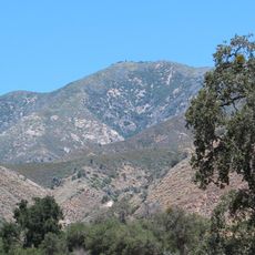
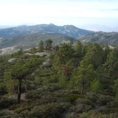
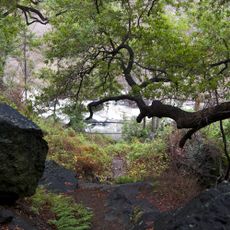
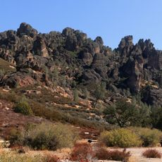
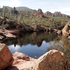
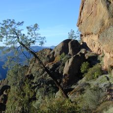
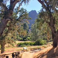
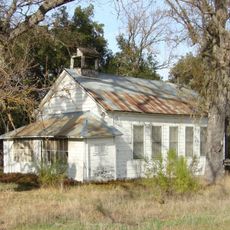
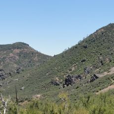
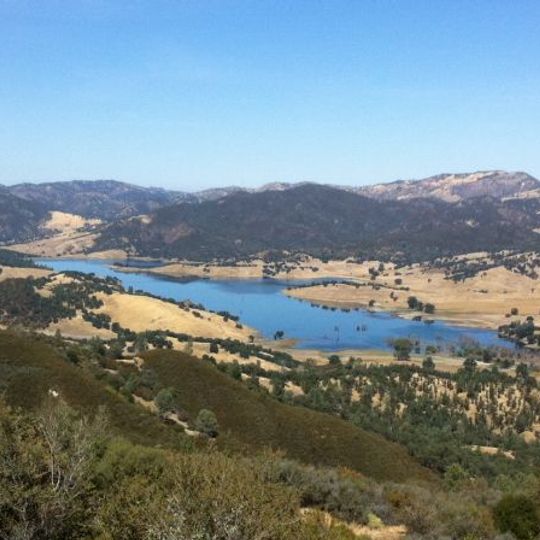
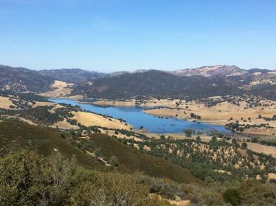
Laguna Mountain Recreation Area is a protected space in San Benito County featuring a 4,462-foot peak covered with dense shrubland and oak forests. The landscape includes grassy open areas and Laguna Creek, which forms a series of waterfalls flowing through the mountain gorge.

The land around Laguna Mountain lay submerged beneath ancient lakes during the Pleistocene epoch roughly 200,000 years ago before transforming into the current mountain landscape. It was later protected as a recreation area to keep the natural features open to the public.

The area is managed to allow different kinds of outdoor activity including hiking, camping, hunting, and target shooting following local guidelines. Visitors use this land to spend time outdoors and maintain traditional practices like hunting in the open landscape.

Access the area via Highway 25 south from Hollister, where you will find multiple trailheads and two free campgrounds for overnight stays. The facilities are basic and there is no running water available on site.

The area contains serpentinite deposits, a rare mineral rock that shapes the region's geological history. These specific rock formations influence soil composition and affect how local plants grow across the landscape.

The community of curious travelers

AroundUs brings together thousands of curated places, local tips, and hidden gems, enriched daily by 60,000 contributors worldwide.
Start exploring
GPS coordinates
36.34820,-120.85100
Latest update
September 12, 2026 01:26
Around this place
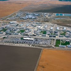
Pleasant Valley State Prison
United States of America

Pleasant Valley State Prison

36.8 mi
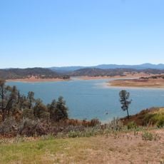
Lake Nacimiento
United States of America

Lake Nacimiento

42.3 mi
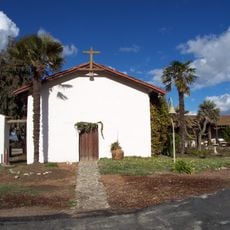
Mission Nuestra Señora de la Soledad
United States of America

Mission Nuestra Señora de la Soledad

28.4 mi
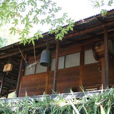
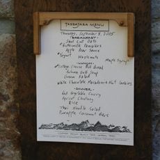
Tassajara Zen Mountain Center
United States of America

Tassajara Zen Mountain Center

41.2 mi
Tassajara Hot Springs
United States of America

Tassajara Hot Springs

39.8 mi
Lake San Antonio
United States of America

Lake San Antonio

35.1 mi
Junipero Serra Peak
United States of America

Junipero Serra Peak

34.7 mi
United States of America

Chalone Vineyard

22.7 mi
Randall Fawcett House
United States of America

Randall Fawcett House

43.3 mi
San Benito mountain
United States of America

San Benito mountain

11.6 mi
Silver Peak Wilderness
United States of America

Silver Peak Wilderness

43.6 mi
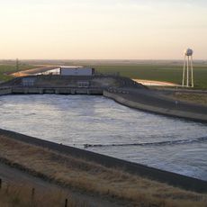
Dos Amigos Pumping Plant
United States of America

Dos Amigos Pumping Plant

39.7 mi
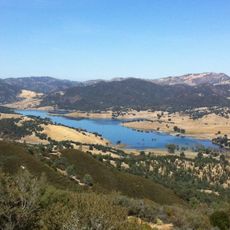
Hernandez Reservoir
United States of America

Hernandez Reservoir

2.9 mi
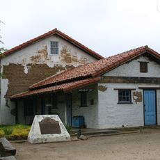
Rios-Caledonia Adobe
United States of America

Rios-Caledonia Adobe

43.1 mi
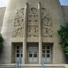
King City High School Auditorium
United States of America

King City High School Auditorium

18.3 mi
Pinnacles National Forest
United States of America

Pinnacles National Forest

22.1 mi
1 (Las Cruces - San Francisco)
United States of America

1 (Las Cruces - San Francisco)

32 mi
United States of America

Parkfield Interventional EQ Fieldwork

38.8 mi
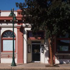
Odd Fellows Hall
United States of America

Odd Fellows Hall

34.7 mi
Mission Soledad
United States of America

Mission Soledad

28.4 mi
Bear Gulch Reservoir
United States of America

Bear Gulch Reservoir

20.7 mi
Juniper Canyon Trail
United States of America

Juniper Canyon Trail

21.6 mi
Fort Hunter Liggett
United States of America

Fort Hunter Liggett

34.6 mi
Balconies Trail
United States of America

Balconies Trail

22.2 mi
Bear Valley School
United States of America

Bear Valley School

20.9 mi
Chalone Peak Lookout
United States of America

Chalone Peak Lookout

20.4 mi
Camp Roberts Historical Museum
United States of America

Camp Roberts Historical Museum

38.7 mi
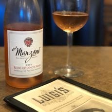
Manzoni Estate Vineyard
United States of America

Manzoni Estate Vineyard

35.4 mi
Show the full map
Reviews
Share your experience

No review yet

Discussions
Start a discussion...

No discussion yet

« Laguna Mountain Recreation Area - Public recreation area in San Benito County, United States » is provided by Around Us (aroundus.com). Images and texts are derived from Wikimedia project under a Creative Commons license. You are allowed to copy, distribute, and modify copies of this page, under the conditions set by the license, as long as this note is clearly visible.

Discover hidden gems everywhere you go!

From secret cafés to breathtaking viewpoints, skip the crowded tourist spots and find places that match your style. Our app makes it easy with voice search, smart filtering, route optimization, and insider tips from travelers worldwide. Download now for the complete mobile experience.
Around Us App Screenshot

A unique approach to discovering new places

Le Figaro

All the places worth exploring

France Info

A tailor-made excursion in just a few clicks

20 Minutes

Around Us
Travel Guide & Maps
Download

Send to your phone

QR Code
1

Open the camera app on your mobile.

2

Point at the QR code with your camera. A notification will appear.

3

Tap the notification to open the link.