Chest opened
+${chestReward.xp} XP
Explorer
NOUVEAU ×${chestReward.collectible.quantity}
tapez pour fermer

See the monuments around you in AR Open chests in the app

Around Us is built for your phone — point your camera at the streets and discover the monuments and places around you in augmented reality. Around Us is built for your phone — chests unlock when you walk, explore and capture nearby places.

Enable Location

We need your location to show you interesting places around you

Discover nearby places

Find interesting locations and hidden gems around you

Precise directions

Get accurate directions and distances to places

Your location is never shared with other users. It's only used when you tap the location button.

Lake San Antonio

Log in to your account

Start exploring — it's free

Trusted by 86,667 travelers worldwide

Continue with Google
Continue with Apple
or

We will send you a code to connect

By continuing, you accept our Terms and Conditions and our Privacy Policy

Check your inbox

We've sent a pincode in your inbox. Please enter the code below.

Lake San Antonio
Discussion Reviews 1 Photos
9.5k Popularity

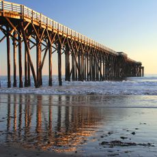
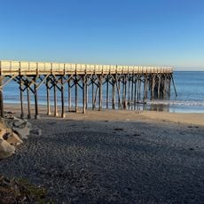
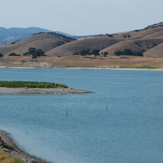
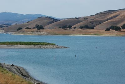
Lake San Antonio, Reservoir in Monterey County, California, US.

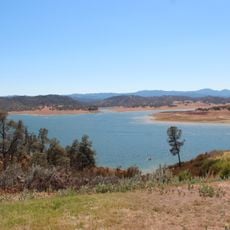
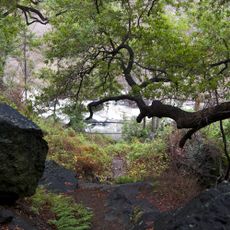
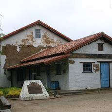
Lake San Antonio is a reservoir that spans across southern Monterey County and northern San Luis Obispo County. The water body features about 26 miles of trails along its shoreline, creating a large open expanse for recreation and exploration.

The lake was created by the San Antonio Dam, completed in 1965. This construction project was a major undertaking that shaped the region and established the water body that exists today.

The lake hosts a major triathlon event each year that draws athletes from around the world. Visitors can feel the energy of this sporting gathering and the community spirit that forms around the water during the competition.

The lake offers more than 500 camping spots on both shores with tent sites and RV spaces with full hookups. Water levels fluctuate significantly between dry and wet seasons, which can affect access to certain areas on the shore.

In winter, the lake becomes a prime spot for watching bald eagles as they hunt over the water. Besides eagles, other bird species like grebes and red-tailed hawks can also be spotted during this season.

The community of curious travelers

AroundUs brings together thousands of curated places, local tips, and hidden gems, enriched daily by 60,000 contributors worldwide.
Start exploring
Location
GPS coordinates
35.85038,-120.96806
Latest update
September 12, 2026 01:30
Around this place
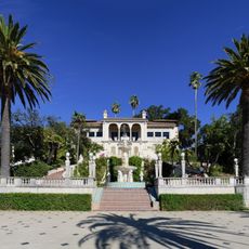
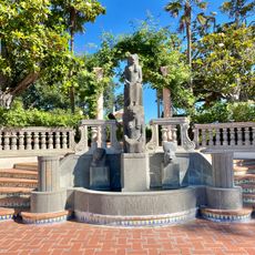
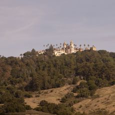
Hearst Castle
United States of America

Hearst Castle

16.1 mi
Nitt Witt Ridge
United States of America

Nitt Witt Ridge

20.9 mi
Lake Nacimiento
United States of America

Lake Nacimiento

7.4 mi
Hearst Ranch
United States of America

Hearst Ranch

15.2 mi
Hearst San Simeon State Park
United States of America

Hearst San Simeon State Park

20.4 mi
The Hacienda
United States of America

The Hacienda

19 mi
Piedras Blancas Light Station
United States of America

Piedras Blancas Light Station

21.9 mi
William Randolph Hearst Memorial State Beach
United States of America

William Randolph Hearst Memorial State Beach

18.9 mi
Cayucos State Beach
United States of America

Cayucos State Beach

28 mi
Salmon Creek Falls
United States of America

Salmon Creek Falls

21.6 mi
Silver Peak Wilderness
United States of America

Silver Peak Wilderness

18.6 mi
Whale Rock Reservoir
United States of America

Whale Rock Reservoir

27.6 mi
Harmony Headlands State Park
United States of America

Harmony Headlands State Park

25.8 mi
Rios-Caledonia Adobe
United States of America

Rios-Caledonia Adobe

17 mi
Estero Bluffs State Park
United States of America

Estero Bluffs State Park

27.9 mi
King City High School Auditorium
United States of America

King City High School Auditorium

26.5 mi
Kenneth S. Norris Rancho Marino Reserve
United States of America

Kenneth S. Norris Rancho Marino Reserve

23.1 mi
Sebastian Store
United States of America

Sebastian Store

19 mi
Estrella Adobe Church
United States of America

Estrella Adobe Church

21.8 mi
Paso Robles Carnegie Library
United States of America

Paso Robles Carnegie Library

22.1 mi
Bank of Italy
United States of America

Bank of Italy

22 mi
William Randolph Hearst Memorial Beach
United States of America

William Randolph Hearst Memorial Beach

19.1 mi
Franklin Hot Springs
United States of America

Franklin Hot Springs

25.8 mi
Sculpterra Winery and Sculpture Garden
United States of America

Sculpterra Winery and Sculpture Garden

26.5 mi
Fort Hunter Liggett
United States of America

Fort Hunter Liggett

16.3 mi
Cayucos Beach
United States of America

Cayucos Beach

28 mi
Call-Booth House
United States of America

Call-Booth House

21.7 mi
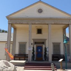
Camp Roberts Historical Museum
United States of America

Camp Roberts Historical Museum

12.8 mi
Show the full map
Reviews
Share your experience

No review yet

Discussions
Start a discussion...

No discussion yet

« Lake San Antonio - Reservoir in Monterey County, California, US » is provided by Around Us (aroundus.com). Images and texts are derived from Wikimedia project under a Creative Commons license. You are allowed to copy, distribute, and modify copies of this page, under the conditions set by the license, as long as this note is clearly visible.

Discover hidden gems everywhere you go!

From secret cafés to breathtaking viewpoints, skip the crowded tourist spots and find places that match your style. Our app makes it easy with voice search, smart filtering, route optimization, and insider tips from travelers worldwide. Download now for the complete mobile experience.

Around Us App Screenshot

A unique approach to discovering new places

Le Figaro

All the places worth exploring

France Info

A tailor-made excursion in just a few clicks

20 Minutes

Around Us
Travel Guide & Maps
Download

Send to your phone

QR Code
1

Open the camera app on your mobile.

2

Point at the QR code with your camera. A notification will appear.

3

Tap the notification to open the link.