Atascadero

Log in to your account

AroundUs is a community-driven map of interesting places, built by curious explorers like you. It grows with every review, story, and photo you share.
Connect to save your favorite spots, contribute locations, and create personalized routes.
By continuing, you accept our Terms and Conditions and our Privacy Policy
Add to collection
Map
Suggest a change
Share

Atascadero, Administrative division in San Luis Obispo County, California, US.

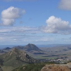
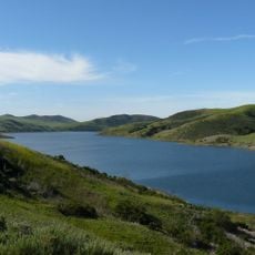
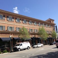
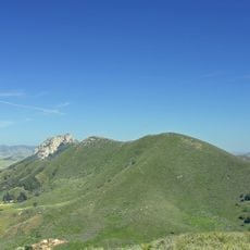
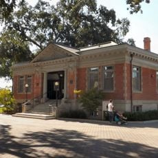
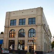
Atascadero is a city in San Luis Obispo County, California, located between rolling hills in the central coastal region. The downtown area stretches along a main street with low-rise commercial buildings, residential neighborhoods, and parks on either side.

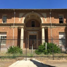
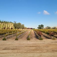
The city was founded in the early 20th century as a planned community and grew gradually around agricultural operations and trade routes. After World War II, highway construction brought increased settlement and economic development.

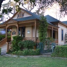
The city developed around a central plaza with period buildings that now serves as a gathering point for farmers markets and community events. Local artists display their work regularly in galleries along the main street, where small cafés and shops also line the sidewalks.

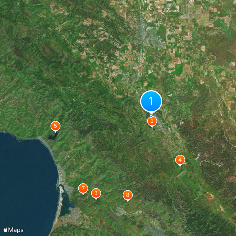
The city sits directly on a major highway between Los Angeles and San Francisco, making it easy to reach by car. Many facilities are within walking distance of the center, though some hills can make walking more tiring.

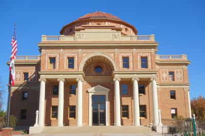
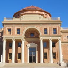
Near the city center stands a large bell tower from the 1920s that rings during public occasions. The tower is surrounded by a small park where residents often sit on benches and listen to the sound.

Location: San Luis Obispo County

Inception: 1979

Founders: Edward Gardner Lewis

Elevation above the sea: 268 m

Website: http://atascadero.org

GPS coordinates: 35.48417,-120.67250

Latest update: December 5, 2025 16:36

Around this place
Show the full map
California Men's Colony
United States of America

California Men's Colony

17.9 km
California State Route 58
United States of America

California State Route 58

12.7 km
California State Route 46
United States of America

California State Route 46

17.9 km
DSRV-2 Avalon
United States of America

DSRV-2 Avalon

20.9 km
Bishop Peak
United States of America

Bishop Peak

20.4 km
Morro Bay State Park
United States of America

Morro Bay State Park

20.6 km
Morro Strand State Beach
United States of America

Morro Strand State Beach

20.1 km
Cayucos State Beach
United States of America

Cayucos State Beach

21.5 km
The "P"
United States of America

The "P"

20.3 km
Hollister Peak
United States of America

Hollister Peak

18.8 km
Santa Margarita de Cortona Asistencia
United States of America

Santa Margarita de Cortona Asistencia

10.8 km
Whale Rock Reservoir
United States of America

Whale Rock Reservoir

18.3 km
Adelaida Vineyards & Winery
United States of America

Adelaida Vineyards & Winery

21.5 km
Carlton Hotel
United States of America

Carlton Hotel

625 m
Cerro Cabrillo
United States of America

Cerro Cabrillo

19.5 km
Black Hill
United States of America

Black Hill

20.1 km
Bianchi Winery
United States of America

Bianchi Winery

20.4 km
Chumash Peak
United States of America

Chumash Peak

20 km
San Luis Obispo Botanical Garden
United States of America

San Luis Obispo Botanical Garden

16.6 km
Leaning Pine Arboretum
United States of America

Leaning Pine Arboretum

19.3 km
Paso Robles Carnegie Library
United States of America

Paso Robles Carnegie Library

15.8 km
Bank of Italy
United States of America

Bank of Italy

16 km
Atascadero Administration Building
United States of America

Atascadero Administration Building

744 m
Franklin Hot Springs
United States of America

Franklin Hot Springs

11.9 km
Sculpterra Winery and Sculpture Garden
United States of America

Sculpterra Winery and Sculpture Garden

14.1 km
Cerro Romauldo
United States of America

Cerro Romauldo

19.6 km
DAOU Vineyards & Winery
United States of America

DAOU Vineyards & Winery

20.2 km
Niner Wine Estates
United States of America

Niner Wine Estates

11.5 km
Show the full map

Reviews

Visited this place? Tap the stars to rate it and share your experience / photos with the community! Try now! You can cancel it anytime.

« Atascadero - Administrative division in San Luis Obispo County, California, US » is provided by Around Us (aroundus.com). Images and texts are derived from Wikimedia project under a Creative Commons license. You are allowed to copy, distribute, and modify copies of this page, under the conditions set by the license, as long as this note is clearly visible.

Discover hidden gems everywhere you go!

From secret cafés to breathtaking viewpoints, skip the crowded tourist spots and find places that match your style. Our app makes it easy with voice search, smart filtering, route optimization, and insider tips from travelers worldwide. Download now for the complete mobile experience.

Around Us App Screenshot

A unique approach to discovering new places

Le Figaro

All the places worth exploring

France Info

A tailor-made excursion in just a few clicks

20 Minutes