Enable Location

We need your location to show you interesting places around you

Discover nearby places

Find interesting locations and hidden gems around you

Precise directions

Get accurate directions and distances to places

Your location is never shared with other users. It's only used when you tap the location button.

San Luis Obispo County

Log in to your account

Start exploring — it's free

Trusted by travelers worldwide

Continue with Google
Continue with Apple
or

We will send you a code to connect

By continuing, you accept our Terms and Conditions and our Privacy Policy

Check your inbox

We've sent a pincode in your inbox. Please enter the code below.

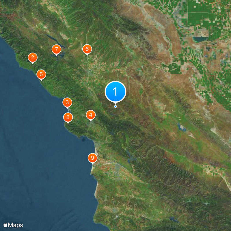
San Luis Obispo County, Administrative region on the Central Coast of California, US.

Description

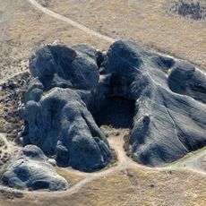
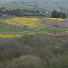
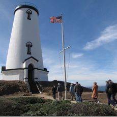
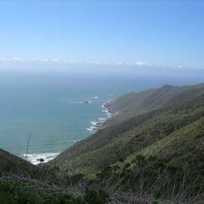
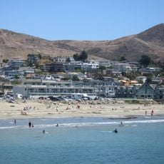
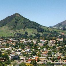
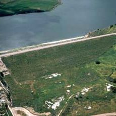
San Luis Obispo County is an administrative region on California's Central Coast that extends from the Pacific Ocean inland through varied terrain. The territory includes coastal towns, rolling hills, valleys, and agricultural areas spread across the landscape.

History

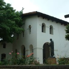
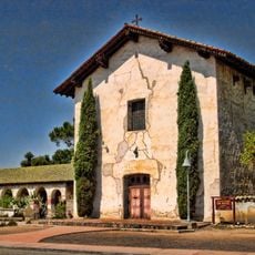
The region became one of California's original counties when the state joined the Union in 1850. Spanish missionaries had already shaped the area for decades before through the establishment of settlements.

Culture

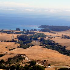
The name honors a Spanish saint connected to the local mission heritage. Wine production shapes how people use the landscape today, with many estates welcoming visitors to learn about their work.

Practical

The region spans varied terrain, so plan time to explore different areas at a relaxed pace. Local visitor centers in main towns provide information about activities and services available throughout the territory.

Did you know?

The territory ranks among California's leading wine regions, known for producing wines recognized worldwide. Many smaller estates open their doors to guests, giving the area a distinctly personal character for visitors.

Location
Inception
1850
Capital city
San Luis Obispo
Shares border with
Monterey County, Santa Barbara County, Kings County, Kern County
GPS coordinates
35.38000,-120.45000
Latest update
December 18, 2025 15:40

AroundUs brings together thousands of curated places, local tips, and hidden gems, enriched daily by 60,000 contributors worldwide. Discover all places nearby (California).

Around this place
Hearst Castle
United States of America

Hearst Castle

73.4 km
Morro Rock
United States of America

Morro Rock

37.9 km
Mission San Luis Obispo de Tolosa
United States of America

Mission San Luis Obispo de Tolosa

22.4 km
Nitt Witt Ridge
United States of America

Nitt Witt Ridge

62.1 km
Mission San Miguel Arcángel
United States of America

Mission San Miguel Arcángel

46.4 km
Lake Nacimiento
United States of America

Lake Nacimiento

61.5 km
Montaña de Oro State Park
United States of America

Montaña de Oro State Park

39.6 km
Guadalupe-Nipomo Dunes
United States of America

Guadalupe-Nipomo Dunes

48.5 km
DSRV-2 Avalon
United States of America

DSRV-2 Avalon

36.8 km
Hearst Ranch
United States of America

Hearst Ranch

74 km
Painted Rock
United States of America

Painted Rock

59.5 km
Hearst San Simeon State Park
United States of America

Hearst San Simeon State Park

65 km
Bishop Peak
United States of America

Bishop Peak

24.1 km
Morro Bay State Park
United States of America

Morro Bay State Park

34.3 km
Pismo State Beach
United States of America

Pismo State Beach

34.2 km
Morro Strand State Beach
United States of America

Morro Strand State Beach

37.5 km
Piedras Blancas Light Station
United States of America

Piedras Blancas Light Station

82 km
Kern National Wildlife Refuge
United States of America

Kern National Wildlife Refuge

85.6 km
Point Sal State Beach
United States of America

Point Sal State Beach

56.2 km
William Randolph Hearst Memorial State Beach
United States of America

William Randolph Hearst Memorial State Beach

73 km
Cayucos State Beach
United States of America

Cayucos State Beach

42.1 km
Santa Margarita Lake
United States of America

Santa Margarita Lake

6.1 km
Charles Paddock Zoo
United States of America

Charles Paddock Zoo

22.2 km
Cerro San Luis Obispo
United States of America

Cerro San Luis Obispo

23.6 km
Guadalupe-Nipomo Dunes National Wildlife Refuge
United States of America

Guadalupe-Nipomo Dunes National Wildlife Refuge

44.5 km
Twitchell Reservoir
United States of America

Twitchell Reservoir

43.8 km
Los Osos Oaks State Natural Reserve
United States of America

Los Osos Oaks State Natural Reserve

34.1 km
Oceano Dunes
United States of America

Oceano Dunes

34.7 km
Show the full map
Administrative divisions
« San Luis Obispo County - Administrative region on the Central Coast of California, US » is provided by Around Us (aroundus.com). Images and texts are derived from Wikimedia project under a Creative Commons license. You are allowed to copy, distribute, and modify copies of this page, under the conditions set by the license, as long as this note is clearly visible.

Discover hidden gems everywhere you go!

From secret cafés to breathtaking viewpoints, skip the crowded tourist spots and find places that match your style. Our app makes it easy with voice search, smart filtering, route optimization, and insider tips from travelers worldwide. Download now for the complete mobile experience.

Around Us App Screenshot

A unique approach to discovering new places

Le Figaro

All the places worth exploring

France Info

A tailor-made excursion in just a few clicks

20 Minutes

Around Us
Travel Guide & Maps
Download

Send to your phone

QR Code
1

Open the camera app on your mobile.

2

Point at the QR code with your camera. A notification will appear.

3

Tap the notification to open the link.