Enable Location

We need your location to show you interesting places around you

Discover nearby places

Find interesting locations and hidden gems around you

Precise directions

Get accurate directions and distances to places

Your location is never shared with other users. It's only used when you tap the location button.

Colma

Log in to your account

Start exploring — it's free

Trusted by 62,842 travelers worldwide

Continue with Google
Continue with Apple
or

We will send you a code to connect

By continuing, you accept our Terms and Conditions and our Privacy Policy

Check your inbox

We've sent a pincode in your inbox. Please enter the code below.

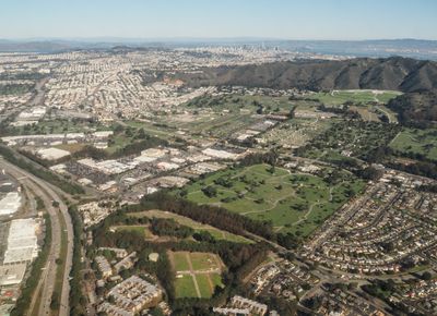
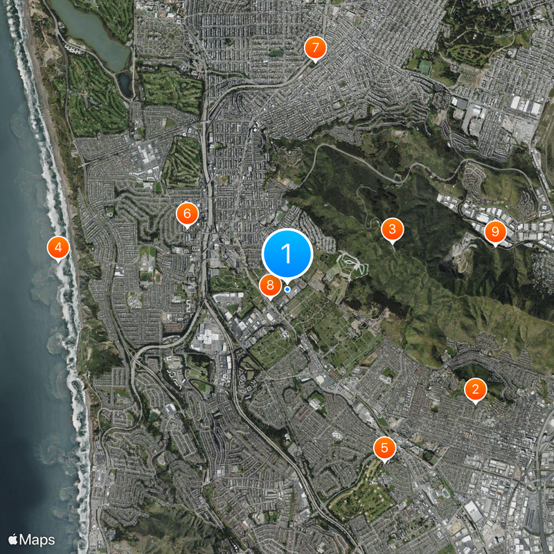
Colma, Cemetery district in San Mateo County, California

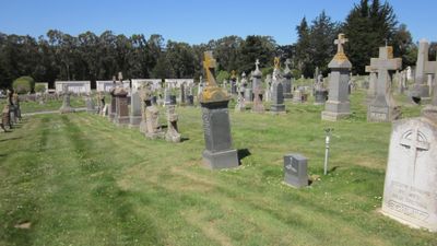
Colma is a small town in San Mateo County, California, composed primarily of cemetery grounds. The municipality includes seventeen separate cemeteries that spread across the entire town area and together occupy most of its land.

An ordinance from San Francisco in 1900 prohibited further burials within city limits, leading to the relocation of thousands of graves to the areas south of the city. The settlement became officially incorporated as a town in 1924, after it had grown into a central burial place for the region.

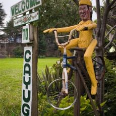
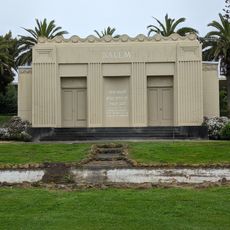
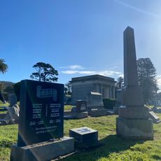
The local cemeteries preserve a striking variety of burial sites, from Chinese temples to Italian columbaria, each reflecting the funeral customs of different immigrant groups. Visitors can observe these differences while walking through individual grounds, where architecture and layout point directly to each community.

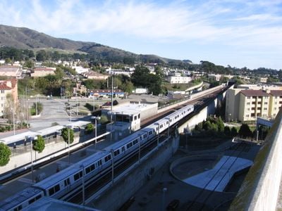
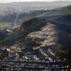
Multiple bus lines and two rail stations connect the town to San Francisco and other communities in San Mateo County. Most cemeteries open during daylight hours and feature paved pathways that are accessible by wheelchair.

The ratio of living to deceased stands at roughly fifteen hundred residents compared to approximately one and a half million burials. This extraordinary proportion makes the town one of the most unusual places in the United States.

The community of curious travelers

AroundUs brings together thousands of curated places, local tips, and hidden gems, enriched daily by 60,000 contributors worldwide.

Start exploring
Location
Inception
August 5, 1924
GPS coordinates
37.67889,-122.45556
Latest update
December 13, 2025 16:18
Around this place
South San Francisco Hillside Sign
United States of America

South San Francisco Hillside Sign

3.8 km
San Bruno Mountain State Park
United States of America

San Bruno Mountain State Park

2 km
Thornton State Beach
United States of America

Thornton State Beach

3.9 km
South San Francisco Public Library
United States of America

South San Francisco Public Library

3.4 km
Congregation B’nai Israel
United States of America

Congregation B’nai Israel

2 km
Cayuga Park
United States of America

Cayuga Park

3.9 km
Salem Memorial Park and Garden
United States of America

Salem Memorial Park and Garden

329 m
United States of America

San Bruno Mountain Ecological Reserve

3.7 km
Cow Palace
United States of America

Cow Palace

4.5 km
Wyatt Earp gravesite
United States of America

Wyatt Earp gravesite

391 m
United States of America

Hillside Park

1.8 km
Broderick-Terry Dueling Place
United States of America

Broderick-Terry Dueling Place

4.1 km
Ocean View Branch Library
United States of America

Ocean View Branch Library

4 km
Westlake Library
United States of America

Westlake Library

3.3 km
United States of America

Lake Merced Golf and Country Club

2.8 km
United States of America

California Golf Club of San Francisco

3.6 km
United States of America

Evohelix

4.8 km
United States of America

Art Panels

4 km
United States of America

The Zen Garden II

3.7 km
United States of America

Randolph & Bright Mini Park

4 km
United States of America

Lessing & Sears Mini Park

3.3 km
United States of America

Installation artwork, Work of art

4.4 km
United States of America

Scenic viewpoint

2 km
United States of America

Scenic viewpoint

1.8 km
United States of America

Scenic viewpoint

3.5 km
United States of America

Scenic viewpoint

3.6 km
United States of America

Scenic viewpoint

3.8 km
United States of America

Scenic viewpoint

2.1 km
Show the full map
« Colma - Cemetery district in San Mateo County, California » is provided by Around Us (aroundus.com). Images and texts are derived from Wikimedia project under a Creative Commons license. You are allowed to copy, distribute, and modify copies of this page, under the conditions set by the license, as long as this note is clearly visible.

Discover hidden gems everywhere you go!

From secret cafés to breathtaking viewpoints, skip the crowded tourist spots and find places that match your style. Our app makes it easy with voice search, smart filtering, route optimization, and insider tips from travelers worldwide. Download now for the complete mobile experience.

Around Us App Screenshot

A unique approach to discovering new places

Le Figaro

All the places worth exploring

France Info

A tailor-made excursion in just a few clicks

20 Minutes

Around Us
Travel Guide & Maps
Download

Send to your phone

QR Code
1

Open the camera app on your mobile.

2

Point at the QR code with your camera. A notification will appear.

3

Tap the notification to open the link.