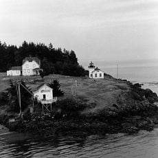
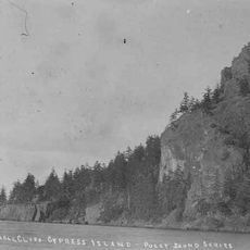
Fidalgo Island, Island in Puget Sound, United States
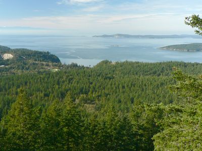
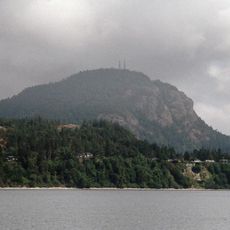
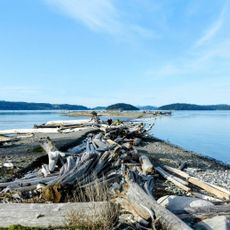
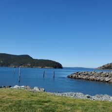
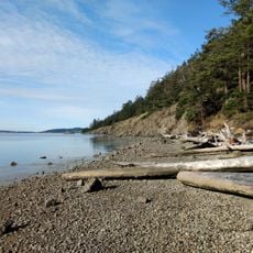
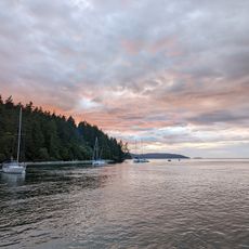
Fidalgo Island is a large landmass in Puget Sound with eight main lakes scattered across its terrain, including Campbell, Erie, Heart, and Whistle. Mount Erie stands as the highest point and offers views across the water and surrounding areas.
A Spanish explorer named Salvador Fidalgo mapped this area in the late 1700s. A British naval officer later gave the island Fidalgo's name, making it official.
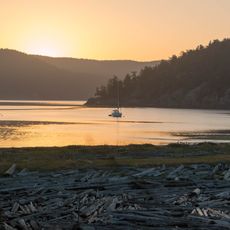
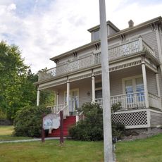
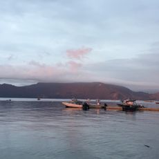
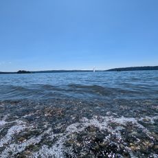
The Samish and Swinomish peoples built communities here and their connection to fishing shaped how people use the waters around the island. Their heritage remains visible in local practices and respect for the marine environment.
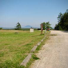
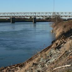
You can reach the island by car or on foot since a bridge connects it to nearby areas. A ferry terminal offers regular service to other islands and regions in the sound.
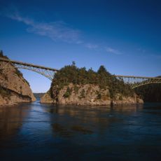
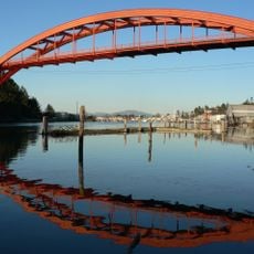
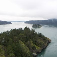
A bridge built in the 1930s connects this island to the neighboring land and crosses a narrow channel known for strong water currents. The structure stands out as an engineering achievement that many travelers cross without knowing its age.
The community of curious travelers
AroundUs brings together thousands of curated places, local tips, and hidden gems, enriched daily by 60,000 contributors worldwide.