Wild Sky Wilderness, Nature reserve in King County, United States
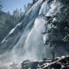
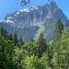
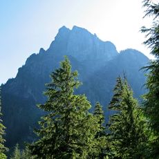
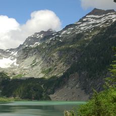
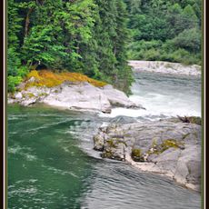
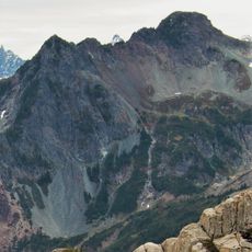
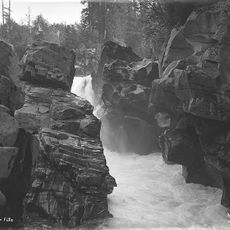
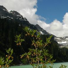
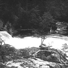
Wild Sky Wilderness is a large protected area in the western Cascade Range featuring deep valleys, mountain peaks, and dense forests spread across more than 106,000 acres. The terrain ranges from low-elevation woodland to high alpine areas with diverse plant and animal communities.
The area was officially protected in 2008 when Congress passed the Consolidated Natural Resources Act, establishing it as a designated wilderness. This protection came after years of efforts to preserve the landscape for future generations.
Indigenous peoples used this mountainous region for thousands of years, establishing trails and gathering places that shaped how people move through the landscape today. Local communities view the land as integral to their heritage and continue to maintain deep connections with it.
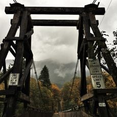
Visitors should bring topographic maps and check permit requirements before heading out, as regulations apply to overnight camping and certain activities. The best time to visit is during warmer months when mountain trails are most accessible and weather is more predictable.
The landscape rises steeply within a few miles from low forests to over 6,000 feet in elevation, creating a dramatic shift in climate and vegetation across short distances. This compressed vertical change allows hikers to move through multiple forest types and reach alpine conditions in a relatively quick journey.
The community of curious travelers
AroundUs brings together thousands of curated places, local tips, and hidden gems, enriched daily by 60,000 contributors worldwide.