
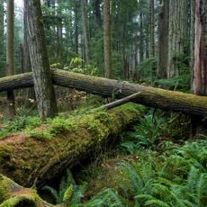
Sabine Channel Marine Provincial Park, provincial park in British Columbia, Canada
Location: qathet Regional District
Inception: 2001
GPS coordinates: 49.51667,-124.24167
Latest update: March 18, 2025 14:36
MacMillan Provincial Park
39.5 km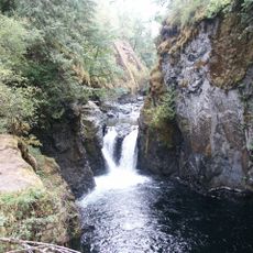
Englishman River Falls Provincial Park
31 km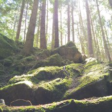
Horne Lake Caves Provincial Park
41.8 km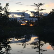
Smuggler Cove Marine Provincial Park
20.5 km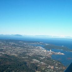
Saysutshun (Newcastle Island Marine) Provincial Park
42.6 km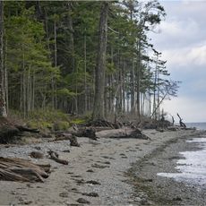
Rathtrevor Beach Provincial Park
21.7 km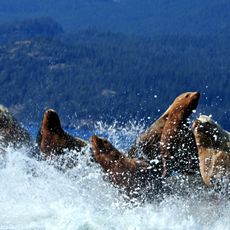
Jedediah Island Marine Provincial Park
3.1 km
Little Qualicum Falls Provincial Park
36.5 km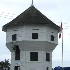
Bastion
44.8 km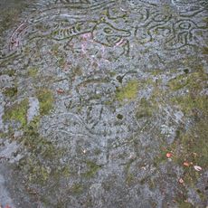
Petroglyph Provincial Park
47.6 km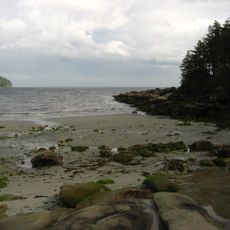
Tribune Bay Provincial Park
29 km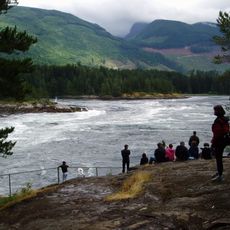
Skookumchuck Narrows Provincial Park
34.5 km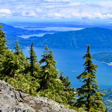
Mount Elphinstone Provincial Park
46.4 km
Deep Bay Marine Field Station
36.3 km
Lighthouse Pub
35.2 km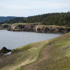
Helliwell Provincial Park
26.3 km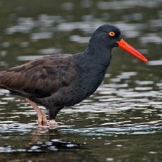
Porpoise Bay Provincial Park
35.8 km
Cowichan
40.5 km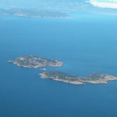
Ballenas Island Light
19.4 km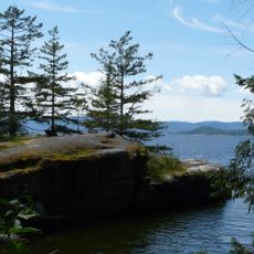
Saltery Bay Provincial Park
29.7 km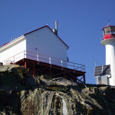
Chrome Island lighthouse
32.4 km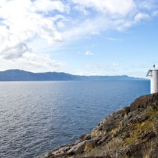
Francis Point Provincial Park
16.9 km
South Texada Island Provincial Park
5.1 km
Arbutus Grove Provincial Park
30.4 km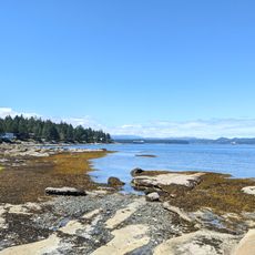
Gabriola Sands Provincial Park
45.4 km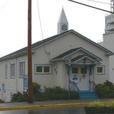
Christian Science Society
44.5 km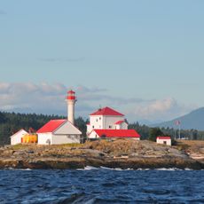
Entrance Island Lighthouse
46.5 km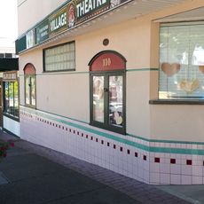
Village Theatre
23.8 kmReviews
Visited this place? Tap the stars to rate it and share your experience / photos with the community! Try now! You can cancel it anytime.
Discover hidden gems everywhere you go!
From secret cafés to breathtaking viewpoints, skip the crowded tourist spots and find places that match your style. Our app makes it easy with voice search, smart filtering, route optimization, and insider tips from travelers worldwide. Download now for the complete mobile experience.

A unique approach to discovering new places❞
— Le Figaro
All the places worth exploring❞
— France Info
A tailor-made excursion in just a few clicks❞
— 20 Minutes