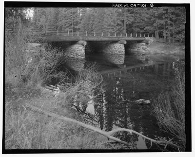
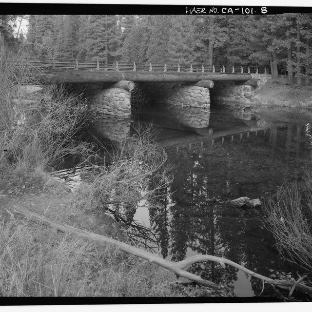
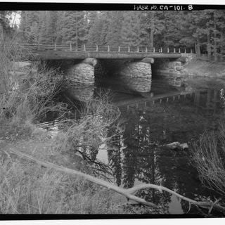
Download the around.us app
For a better experience, use our mobile application.
Popularity :

El Capitan Bridge

Location: Mariposa County

Inception: 1933

Architectural style: National Park Service rustic

Source: Wikimedia

Filters

Northside Drive Road in Yosemite National Park, California

USA 637 m
Northside Drive
Northside Drive Road in Yosemite National Park, California
USA 637 m
Horsetail Fall Waterfall in Yosemite National Park

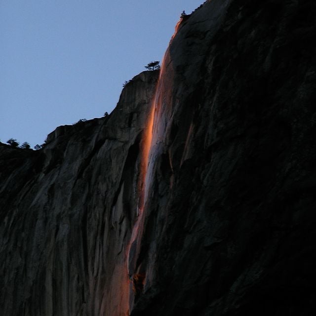
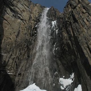
Horsetail Fall is a small, ephemeral waterfall that flows over the eastern edge of El Capitan in Yosemite Valley.

USA 860 m
Horsetail Fall
Horsetail Fall Waterfall in Yosemite National Park
USA 860 m
Yosemite Valley National park in California

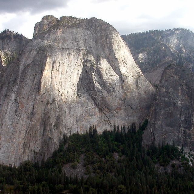
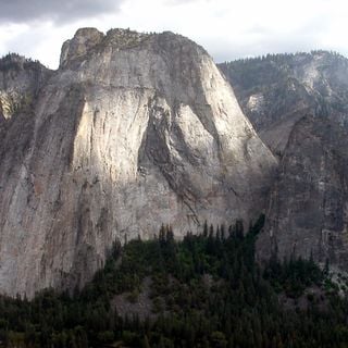
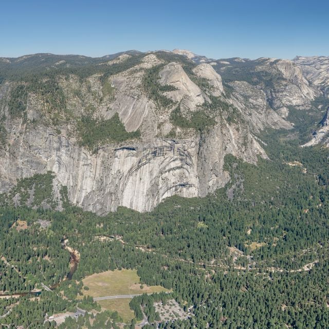
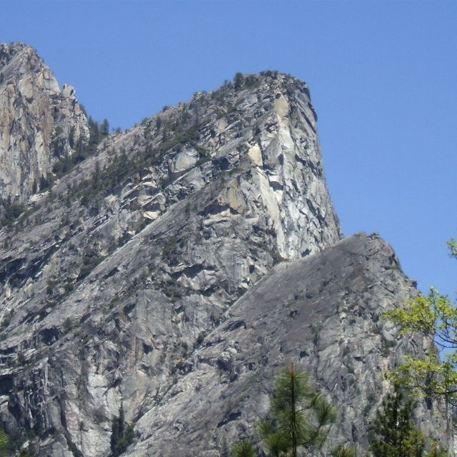
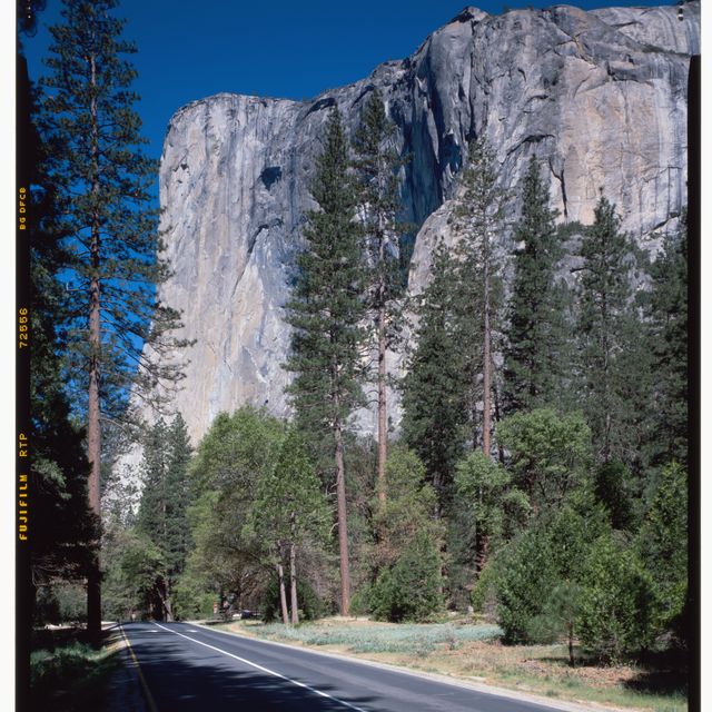
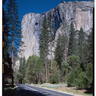
Yosemite Valley is a glacial valley in Yosemite National Park in the western Sierra Nevada mountains of Central California.

USA 1.3 km
Yosemite Valley
Yosemite Valley National park in California
USA 1.3 km
Southside Drive Road in Yosemite National Park, California

USA 1.5 km
Southside Drive
Southside Drive Road in Yosemite National Park, California
USA 1.5 km
Ribbon Fall Waterfall in Yosemite National Park

Ribbon Fall is located in the majestic Yosemite Valley and plunges from a height of about 1,612 feet.

USA 2 km
Ribbon Fall
Ribbon Fall Waterfall in Yosemite National Park
USA 2 km
Bridalveil Meadow Meadow in Yosemite National Park

USA 2.6 km
Bridalveil Meadow
Bridalveil Meadow Meadow in Yosemite National Park
USA 2.6 km
Taft Point Viewpoint in Yosemite National Park

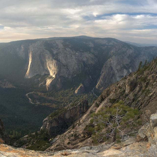
Taft Point is a viewpoint in Yosemite National Park, west of Glacier Point.

USA 2.6 km
Taft Point
Taft Point Viewpoint in Yosemite National Park
USA 2.6 km
Eagle Peak

USA 2.9 km
Eagle Peak
USA 2.9 km
« El Capitan Bridge » is provided by Around.Us (aroundus.com). Images and texts are derived from Wikimedia project under a Creative Commons license. You are allowed to copy, distribute, and modify copies of this page, under the conditions set by the license, as long as this note is clearly visible.