
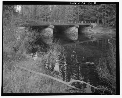
El Capitan Bridge
Location: Mariposa County
Inception: 1933
Architectural style: National Park Service rustic
GPS coordinates: 37.72400,-119.63141
Latest update: November 28, 2025 14:30
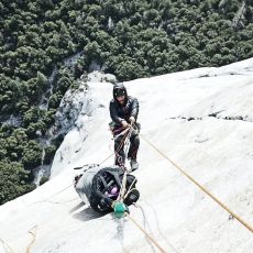
The Nose
705 m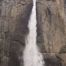
Yosemite Falls
4.3 km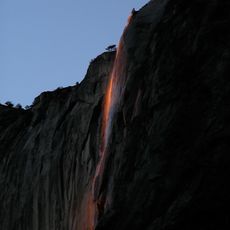
Horsetail Fall
860 m
Taft Point
2.6 km
Tunnel View
4.1 km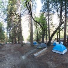
Camp 4
3.2 km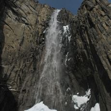
Ribbon Fall
2 km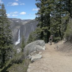
Four Mile Trail
4 km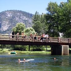
Swinging Bridge
3.1 km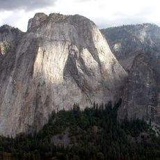
Middle Cathedral Rock
1.1 km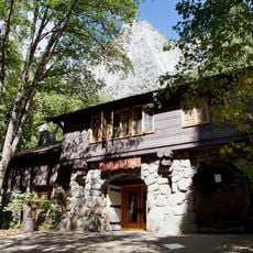
Yosemite Museum & Library
4.7 km
Columbia Boulder
3.2 km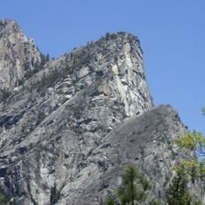
Eagle Peak
2.9 km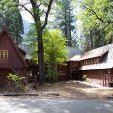
Rangers' Club
4.7 km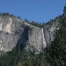
Silver Strand Falls
4 km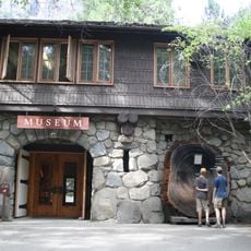
Yosemite Village Historic District
4.8 km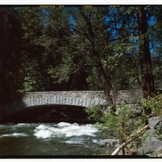
Pohono Bridge
3.2 km
Yosemite Valley Visitor Center
4.8 km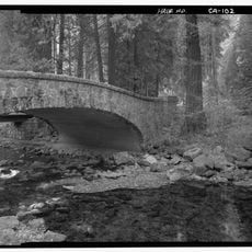
Yosemite Creek Bridge
4 km
Ansel Adams Gallery
4.8 km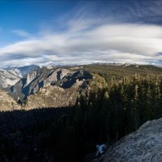
Dewey Point
2.9 km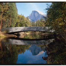
Sentinel Bridge
4.3 km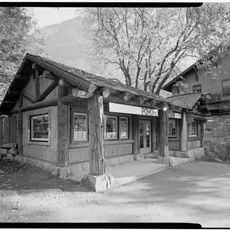
Yosemite Wilderness Center
4.8 km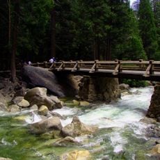
Yosemite Creek Footbridge
4.3 km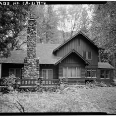
Superintendent's House
4 km
Yosemite Research Library
4.7 km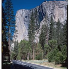
Northside Drive
637 m
Southside Drive
1.5 kmReviews
Visited this place? Tap the stars to rate it and share your experience / photos with the community! Try now! You can cancel it anytime.
Discover hidden gems everywhere you go!
From secret cafés to breathtaking viewpoints, skip the crowded tourist spots and find places that match your style. Our app makes it easy with voice search, smart filtering, route optimization, and insider tips from travelers worldwide. Download now for the complete mobile experience.

A unique approach to discovering new places❞
— Le Figaro
All the places worth exploring❞
— France Info
A tailor-made excursion in just a few clicks❞
— 20 Minutes