
Violet Point, cliff in Coconino County, Arizona, United States of America
Location: Coconino County
GPS coordinates: 36.29889,-112.31639
Latest update: September 20, 2025 15:35
Kaibab National Forest
20.6 km
Isis Temple
23.8 km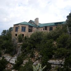
Grand Canyon Lodge
26.2 km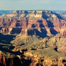
Shiva Temple
20.6 km
Hermit's Rest
28 km
Hermit Trail
28.1 km
Grand Canyon North Rim Headquarters
24.6 km
Bright Angel Point Trail
26.3 km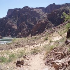
River Trail
29 km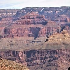
Holy Grail Temple
2.9 km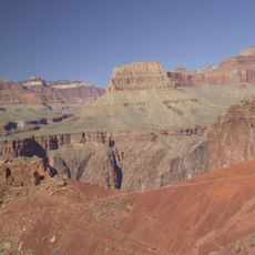
Widforss Trail
24.1 km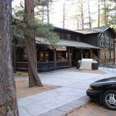
Grand Canyon Inn and Campground
25 km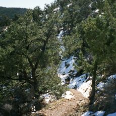
South Bass Trail
13.9 km
Royal Arch Route
17.1 km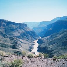
North Bass Trail
5 km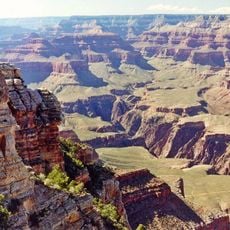
Osiris Temple
20.7 km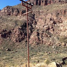
Trans-Canyon Telephone Line
29.1 km
Horus Temple
22.2 km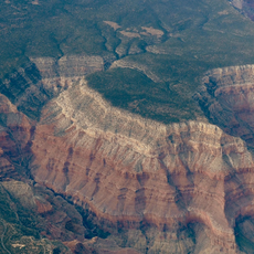
Hermit Canyon
27.3 km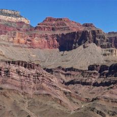
Masonic Temple
3.7 km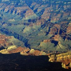
Tuna Canyon
12.6 km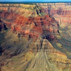
Topaz Canyon
22 km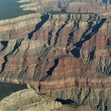
Cocopa Point
24.3 km
North Rim Entrance Station
18.4 km
Cottonwood Ranger Station
28.6 km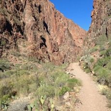
North Kaibab Trail
25.1 km
North Rim Visitor Center
26.2 km
Cameron's Hotel
18.6 kmReviews
Visited this place? Tap the stars to rate it and share your experience / photos with the community! Try now! You can cancel it anytime.
Discover hidden gems everywhere you go!
From secret cafés to breathtaking viewpoints, skip the crowded tourist spots and find places that match your style. Our app makes it easy with voice search, smart filtering, route optimization, and insider tips from travelers worldwide. Download now for the complete mobile experience.

A unique approach to discovering new places❞
— Le Figaro
All the places worth exploring❞
— France Info
A tailor-made excursion in just a few clicks❞
— 20 Minutes