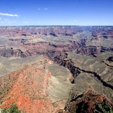
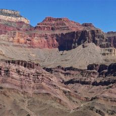
Royal Arch Route, Canyoneering trail in Grand Canyon, Arizona, US
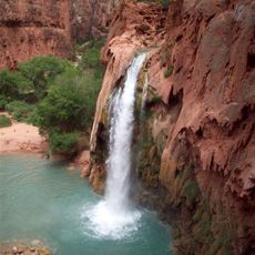
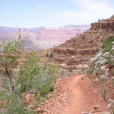
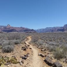
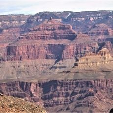
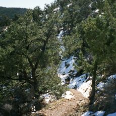
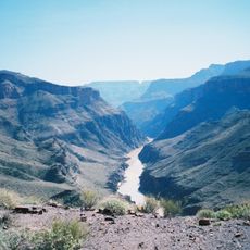
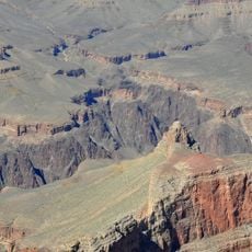
The Royal Arch Route is a demanding hiking trail that descends from the South Bass Trailhead into a deep canyon system with multiple steep sections and technical climbing passages. The route requires rappelling down several drop-offs with significant elevation changes as it winds through rocky formations and narrow canyon corridors.
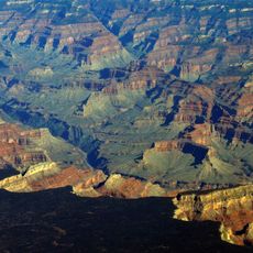
The path was used by Hopi people about 800 years ago, and steps carved and worn into the rock remain visible today. These ancient markings show how Native Americans developed sophisticated knowledge of canyon geography passed down through generations.
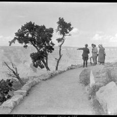
The trail passes through country that Hopi people and their ancestors have traveled for centuries. Visitors walking these paths can sense the deep connection that Native Americans have maintained with this canyon landscape.
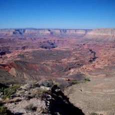
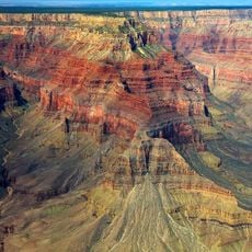
Hikers need advanced climbing skills and rappelling gear, as several sections have steep drops exceeding 150 feet (46 meters). Planning ahead and bringing proper equipment is necessary to safely handle the technical demands of this challenging route.
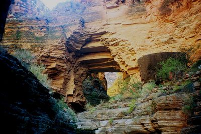
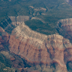
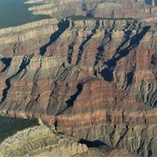
A narrow rock passage called the 'Rabbit Hole' acts as a hidden gateway that leads hikers into wider canyon sections and opens the way toward the massive Royal Arch formation. This hidden passage often surprises visitors who do not expect to squeeze through such a confined space on this demanding trail.
The community of curious travelers
AroundUs brings together thousands of curated places, local tips, and hidden gems, enriched daily by 60,000 contributors worldwide.