Enable Location

We need your location to show you interesting places around you

Discover nearby places

Find interesting locations and hidden gems around you

Precise directions

Get accurate directions and distances to places

Your location is never shared with other users. It's only used when you tap the location button.

North Bass Trail

Log in to your account

Start exploring — it's free

Trusted by travelers worldwide

Continue with Google
Continue with Apple
or

We will send you a code to connect

By continuing, you accept our Terms and Conditions and our Privacy Policy

Check your inbox

We've sent a pincode in your inbox. Please enter the code below.

North Bass Trail

North Bass Trail, Hiking trail in Grand Canyon National Park, Arizona, US

Description

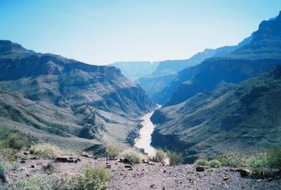
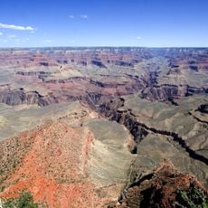
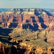
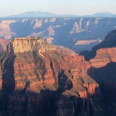
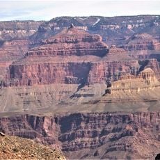
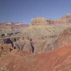
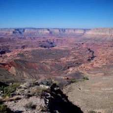
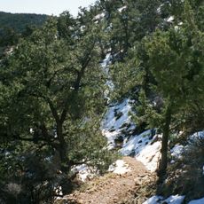
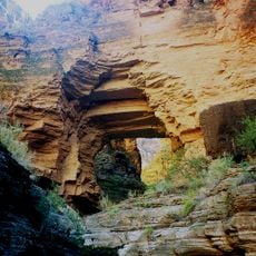
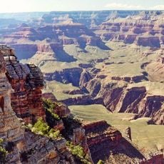
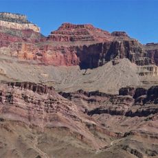
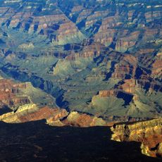
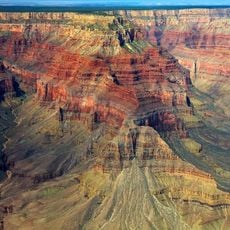
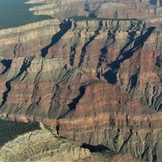
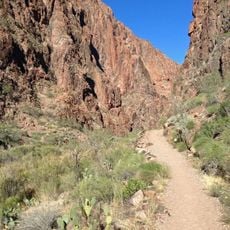
The North Bass Trail is a hiking route in Grand Canyon National Park in Arizona that descends from the North Rim down to the Colorado River through dense forest and rocky canyon terrain. The route is marked by eight switchbacks and steep Redwall sections that present significant climbing challenges.

History

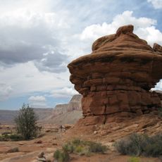
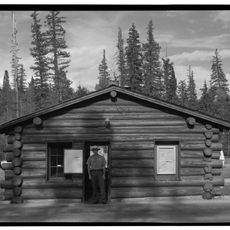
William Bass developed this route in the 1890s, improving upon an existing path created by a prospector named White. The trail built on even earlier passages that Native Americans had used to traverse the canyon.

Culture

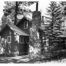
The trail carries marks of early Grand Canyon exploration, with remnants of Bass's camp and an old cable car system still visible at the river crossing. Visitors can see how explorers once moved through this landscape and left their mark on the terrain.

Practical

Hikers need a permit and should bring plenty of water and navigation tools since this remote trail is challenging to traverse. The best seasons to visit are fall and spring when temperatures are more moderate.

Did you know?

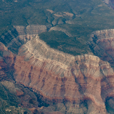
White Creek and Shinumo Creek intersect the trail, providing water and shade among geological layers that reveal millions of years of canyon history. These streams are often the only green refuges in the otherwise dry landscape and significantly shape the hiking experience.

Location
GPS coordinates
36.33600,-112.34800
Latest update
December 14, 2025 15:01

AroundUs brings together thousands of curated places, local tips, and hidden gems, enriched daily by 60,000 contributors worldwide. Discover all places nearby (Arizona).

Around this place
Show the full map
« North Bass Trail - Hiking trail in Grand Canyon National Park, Arizona, US » is provided by Around Us (aroundus.com). Images and texts are derived from Wikimedia project under a Creative Commons license. You are allowed to copy, distribute, and modify copies of this page, under the conditions set by the license, as long as this note is clearly visible.

Discover hidden gems everywhere you go!

From secret cafés to breathtaking viewpoints, skip the crowded tourist spots and find places that match your style. Our app makes it easy with voice search, smart filtering, route optimization, and insider tips from travelers worldwide. Download now for the complete mobile experience.

Around Us App Screenshot

A unique approach to discovering new places

Le Figaro

All the places worth exploring

France Info

A tailor-made excursion in just a few clicks

20 Minutes

Around Us
Travel Guide & Maps
Download

Send to your phone

QR Code
1

Open the camera app on your mobile.

2

Point at the QR code with your camera. A notification will appear.

3

Tap the notification to open the link.