Enable Location

We need your location to show you interesting places around you

Discover nearby places

Find interesting locations and hidden gems around you

Precise directions

Get accurate directions and distances to places

Your location is never shared with other users. It's only used when you tap the location button.

Spiekeroog

Log in to your account

Start exploring — it's free

Trusted by 61,428 travelers worldwide

Continue with Google
Continue with Apple
or

We will send you a code to connect

By continuing, you accept our Terms and Conditions and our Privacy Policy

Check your inbox

We've sent a pincode in your inbox. Please enter the code below.

Spiekeroog, Car-free coastal municipality in Lower Saxony, Germany

Description

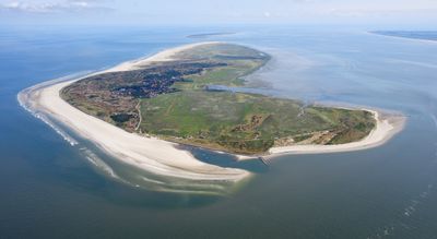
Spiekeroog is a car-free municipality on a North Sea island in Lower Saxony, extending over 18 square kilometers between Langeoog and Wangerooge. The isle belongs to Wittmund district and lies within the Lower Saxony Wadden Sea National Park.

History

The first written record dates to 1398, when the island appears under the name Spiekeroch and 13 families live there from farming, fishing, and limestone extraction. Over the centuries, the settlement developed into a coastal spa with health resort status.

Culture

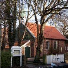
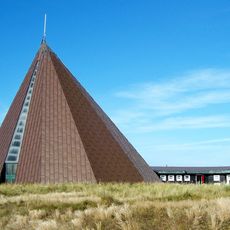
The Old Island Church was built in 1696 and remains the oldest house of worship across all East Frisian Islands. The building shows typical features of regional church design with its simple lines and freestanding bell tower.

Practical

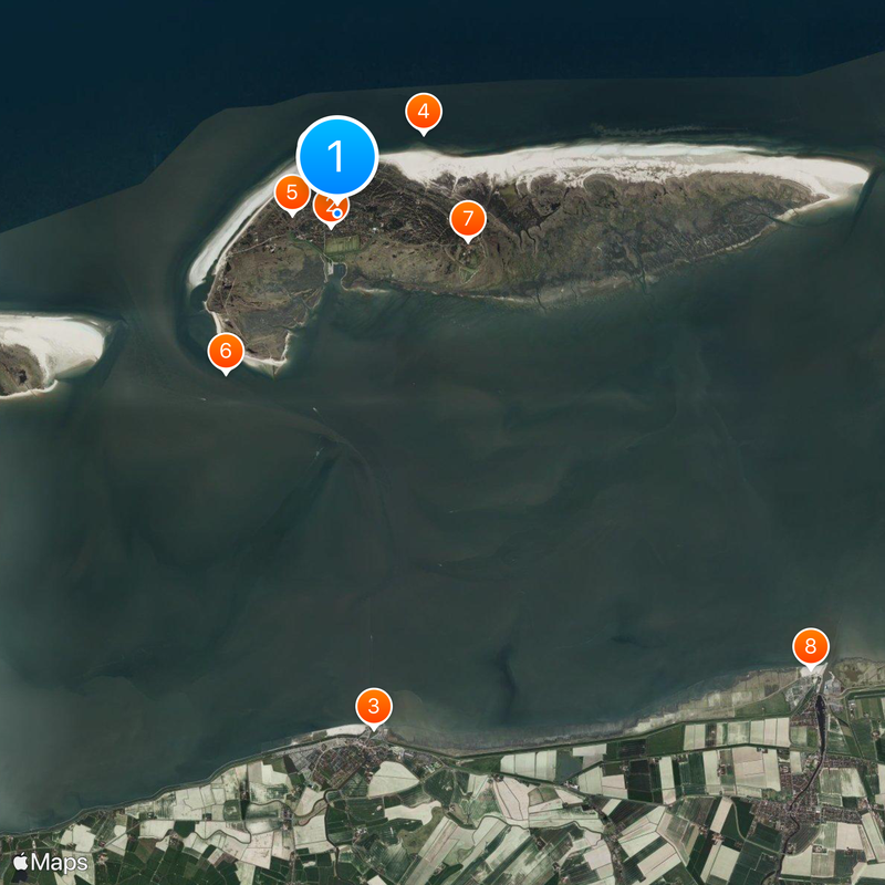
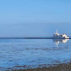
A daily ferry service runs between the mainland port of Neuharlingersiel and the island, with the crossing taking around 45 minutes. On the island itself, electric mini cars handle luggage and guest transport within the village.

Did you know?

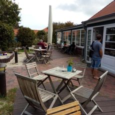
The village offers 3,500 overnight beds and welcomes around 64,000 visitors annually, who generate more than 554,000 overnight stays in total. Despite these numbers, the character of a quiet resort remains largely intact, as cars are completely absent.

Location
Elevation above the sea
3 m
Shares border with
Neuharlingersiel
GPS coordinates
53.77194,7.69694
Latest update
December 12, 2025 23:49

AroundUs brings together thousands of curated places, local tips, and hidden gems, enriched daily by 60,000 contributors worldwide. Discover all places nearby (Wittmund).

« Spiekeroog - Car-free coastal municipality in Lower Saxony, Germany » is provided by Around Us (aroundus.com). Images and texts are derived from Wikimedia project under a Creative Commons license. You are allowed to copy, distribute, and modify copies of this page, under the conditions set by the license, as long as this note is clearly visible.

Discover hidden gems everywhere you go!

From secret cafés to breathtaking viewpoints, skip the crowded tourist spots and find places that match your style. Our app makes it easy with voice search, smart filtering, route optimization, and insider tips from travelers worldwide. Download now for the complete mobile experience.

Around Us App Screenshot

A unique approach to discovering new places

Le Figaro

All the places worth exploring

France Info

A tailor-made excursion in just a few clicks

20 Minutes

Around Us
Travel Guide & Maps
Download

Send to your phone

QR Code
1

Open the camera app on your mobile.

2

Point at the QR code with your camera. A notification will appear.

3

Tap the notification to open the link.