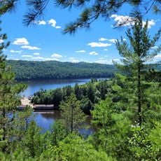
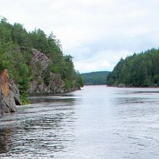
Lac Kipawa, reservoir in Quebec, Canada
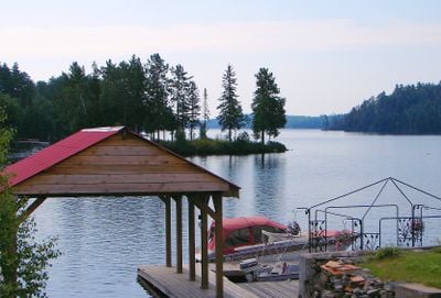
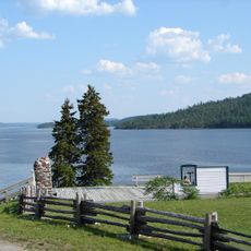
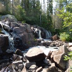
Lac Kipawa is a large lake with many islands and inlets scattered across its surface in Témiscamingue. The water is clear with rocky shores lined by old forests, including red pines over 300 years old and maple and black ash trees.
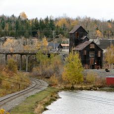
Dams at Laniel and Kipawa were built in 1911 to generate electricity for nearby towns, significantly expanding the lake's size. Before that, logging companies had worked in the region since the mid-1700s, cutting trees and building reservoirs.
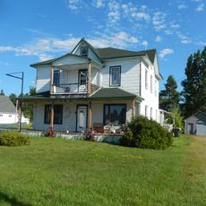
The lake sits on land belonging to the Anicinabeg people, and its name comes from their language. The communities and Keboawek Reserve along the shore keep local traditions alive and maintain a deep connection to the water and forests.
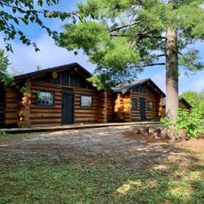
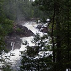
Paddlers should know the water can turn rough quickly in windy weather, with waves that make steering difficult, especially along rocky shores where boats need care. Camping spots are available on small beaches and islands throughout the lake, though visitors should leave them clean.
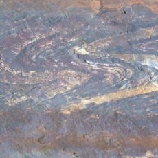
In 2000 the Kipawa earthquake shook the region, drawing unexpected attention to the area and reminding visitors of the land's natural power. This seismic event remains a notable moment in the region's recent history.
The community of curious travelers
AroundUs brings together thousands of curated places, local tips, and hidden gems, enriched daily by 60,000 contributors worldwide.