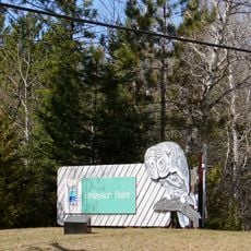
Samuel de Champlain Provincial Park, Provincial park and natural environment reserve in Nipissing District, Canada.
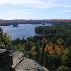
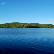
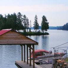
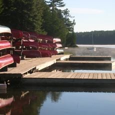
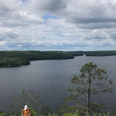
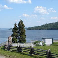
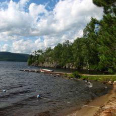
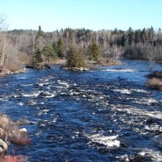
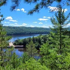
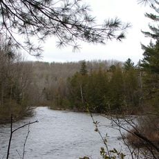
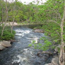
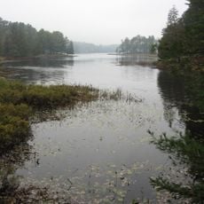
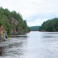
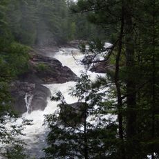
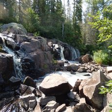
Samuel de Champlain Provincial Park sits at the junction where the Mattawa and Amable-du-Fond rivers meet, covering 2,550 hectares of forest and water systems in Nipissing District. The park features four hiking trails with varying difficulty, camping areas, and supervised swimming spots for visitors.
Established in 1967, the park sits along the Mattawa River route where French explorer Samuel de Champlain paddled in 1615. This waterway served as a crucial trading passage for generations before the park was created.
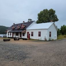
The Voyageur Heritage Centre displays objects from the fur trade era and shows how the Mattawa River shaped early trade routes through this region. Visitors can learn about the people and goods that once moved along these waterways.
The park operates from May through October, with options ranging from easy walks to challenging hikes for different activity levels. Visitors should bring insect protection and waterproof gear, particularly during the wetter months.
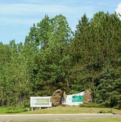
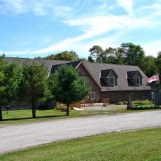
The park is home to the Canadian Ecology Centre, an educational facility that teaches visitors about sustainable forestry through hands-on programs rather than traditional classroom settings. This specialized focus sets it apart from typical provincial parks in the region.
The community of curious travelers
AroundUs brings together thousands of curated places, local tips, and hidden gems, enriched daily by 60,000 contributors worldwide.