Upper Madawaska River Provincial Park

Log in to your account

AroundUs is a community-driven map of interesting places, built by curious explorers like you. It grows with every review, story, and photo you share.
Connect to save your favorite spots, contribute locations, and create personalized routes.
Continue with Google
Continue with Apple
Continue with X
Continue with Facebook
Continue with email
By continuing, you accept our Terms and Conditions and our Privacy Policy
Create an account

Upper Madawaska River Provincial Park

Add to collection
Map
Suggest a change
Share

Upper Madawaska River Provincial Park, Provincial park along Madawaska River in South Algonquin, Canada.

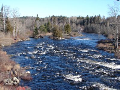
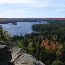
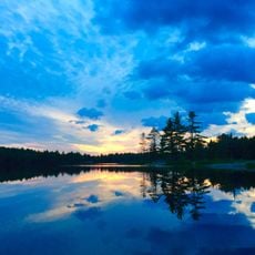
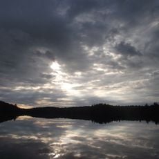
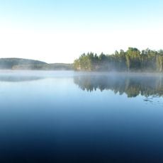
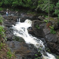
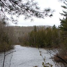
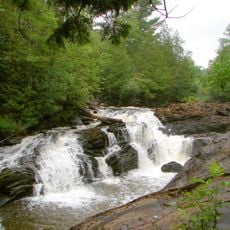
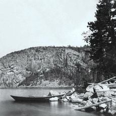
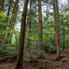
The Upper Madawaska River Provincial Park is a protected natural area stretching across roughly 1,100 hectares along a river in South Algonquin with mixed forest surroundings. The landscape features a blend of hardwoods, white birches, and alder thickets that line the water and create the park's wooded character.

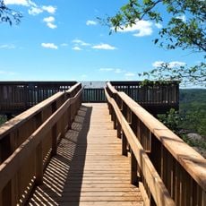
The park incorporates a former railway line that once connected the region and has since been converted into recreational trails. This transformation from railway to nature trail reflects how the land's use has shifted over time.

The river corridor supports traditional hunting and trapping practices that have defined local life in this region for generations. Visitors can see how these customs continue to shape the daily rhythm of the surrounding communities.

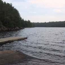
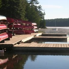
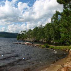
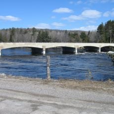
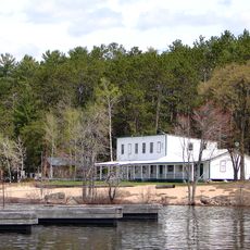
The park sits just north of Whitney along Highway 60 and is accessible by foot, canoe, or kayak for different exploration options. You can fish, hike, camp, or cross-country ski depending on the season and your interests.

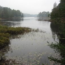
The park boundaries precisely follow the river course and extend 200 meters inland from the high water mark, creating a narrow protected strip through the highlands. This design reveals how the park was specifically shaped to safeguard the water and its immediate surroundings.

Location: South Algonquin

Website: https://ontarioparks.com/park/uppermadawaskariver

GPS coordinates: 45.49472,-78.06889

Latest update: December 14, 2025 18:14

Photos
Reviews

Visited this place? Tap the stars to rate it and share your experience / photos with the community! Try now! You can cancel it anytime.

« Upper Madawaska River Provincial Park - Provincial park along Madawaska River in South Algonquin, Canada » is provided by Around Us (aroundus.com). Images and texts are derived from Wikimedia project under a Creative Commons license. You are allowed to copy, distribute, and modify copies of this page, under the conditions set by the license, as long as this note is clearly visible.

Discover hidden gems everywhere you go!

From secret cafés to breathtaking viewpoints, skip the crowded tourist spots and find places that match your style. Our app makes it easy with voice search, smart filtering, route optimization, and insider tips from travelers worldwide. Download now for the complete mobile experience.

Around Us App Screenshot

A unique approach to discovering new places

Le Figaro

All the places worth exploring

France Info

A tailor-made excursion in just a few clicks

20 Minutes