Snowflake, Mormon pioneer settlement in Navajo County, Arizona, United States
Snowflake sits in Navajo County in northern Arizona at roughly 5700 feet and consists of low-lying residential streets, a few stores and public buildings. The settlement spreads across a quiet area with wide roads and lots lined with ranch-style homes and simple storefronts.
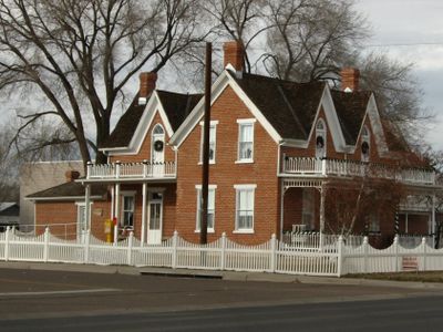
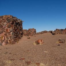
Erastus Snow and William Jordan Flake founded the place in 1878 and named it after their two surnames. Early settlers farmed the land using irrigation techniques and built homes from local timber and adobe.
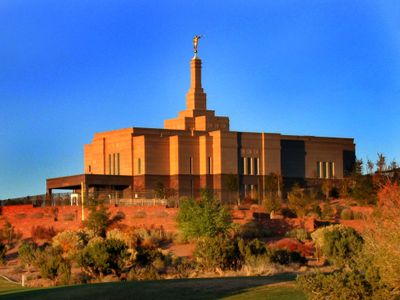
The community maintains strong connections to its Mormon heritage through local events, architecture, and educational programs at Northland Pioneer College extension campus.
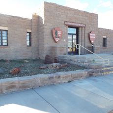
Anyone passing through should refuel and stock up on supplies, since the next larger towns lie farther away. The municipal office on West 1st Street South provides information about public services and local facilities.
A 1975 incident involving a logger named Travis Walton, who claimed to have disappeared for several days, occurred near here. The case was later depicted in books and films and brought worldwide attention to the place.
Location: Navajo County
Inception: 1878
Founders: Erastus Snow
Website: http://ci.snowflake.az.us
GPS coordinates: 34.51111,-110.08306
Latest update: December 5, 2025 16:32
Wigwam Motel
44.2 km
Chevelon Creek Bridge
61.4 km
Snowflake Arizona Temple
2.7 km
Agate House Pueblo
38.5 km
Newspaper Rock Petroglyphs Archeological District
56.5 km
Arizona Rancho
43.8 km
Puerco Ruin and Petroglyphs
58 km
Painted Desert Community Complex Historic District
67.9 km
Cedar Canyon Bridge
51.7 km
Lake Mountain Lookout Complex
48.8 km
Corduroy Creek Bridge
45.5 km
Los Burros Ranger Station
50.5 km
Rainbow Forest Museum
39.3 km
Agate Bridge
50 km
Jasper Forest
49.3 km
Rainbow Forest
38.4 km
Crystal Forest
48.1 km
Giant Logs Trail
39.2 km
Show Low Historical Society
29.1 km
Jasper Forest Viewpoint
49 km
Painted Desert Visitor Center
67.6 km
Blue Mesa Trail
56 km
Whipple Point
67.1 km
Route 66 Pullout
65.3 km
Giant Logs
39.4 km
Lacey Point
66.6 km
The Tepees North Pullout
55.8 km
Obed Road Bridge
52.7 kmVisited this place? Tap the stars to rate it and share your experience / photos with the community! Try now! You can cancel it anytime.
Discover hidden gems everywhere you go!
From secret cafés to breathtaking viewpoints, skip the crowded tourist spots and find places that match your style. Our app makes it easy with voice search, smart filtering, route optimization, and insider tips from travelers worldwide. Download now for the complete mobile experience.
A unique approach to discovering new places❞
— Le Figaro
All the places worth exploring❞
— France Info
A tailor-made excursion in just a few clicks❞
— 20 Minutes