Navajo County, Administrative division in northeastern Arizona, United States
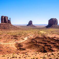
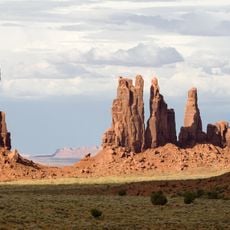
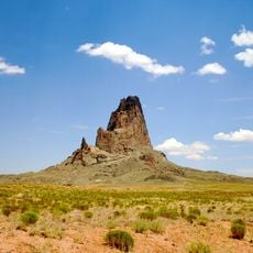
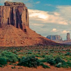
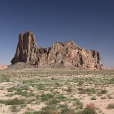
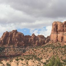
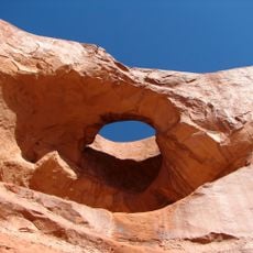
Navajo County is an administrative division in northeastern Arizona that encompasses diverse terrain from mountain ranges to desert plains. The region contains the Petrified Forest National Park, several national forests, and numerous communities of varying sizes.
The territory became a separate administrative unit in 1895 when it was divided from a larger county. This division allowed for more manageable governance of the expanding settlements in the region.
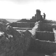
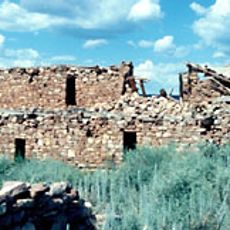
Three Native American communities shape daily life here: the Navajo Nation, the Hopi Tribe, and the White Mountain Apache Tribe. Their traditions and languages are woven into the fabric of local communities across the region.
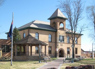
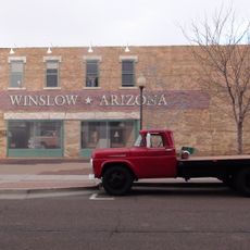
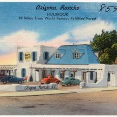
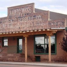
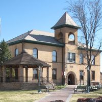
The main administrative centers are located in the towns of Holbrook, Show Low, and Winslow, where visitors and residents can access county services. These towns are spread across the region, so plan for driving time between them.
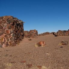
The Holbrook area contains significant mineral deposits that have been industrially extracted for decades. These resources have shaped the economic development of the region.
Location: Arizona
Inception: March 15, 1895
Capital city: Holbrook
Shares border with: Apache County, Graham County, Gila County, Coconino County, San Juan County
Website: http://navajocountyaz.gov
GPS coordinates: 35.49778,-110.28972
Latest update: December 14, 2025 20:01
Monument Valley
159 km
Standin' on the Corner Park
64.5 km
Wigwam Motel
67.2 km
West and East Mitten Buttes
167.2 km
Chevelon Creek Bridge
67.6 km
Totem Pole
160.8 km
Awatovi Ruins
24.6 km
Homolovi State Park
61 km
Kinishba Ruins
188.6 km
Agathla Peak
148 km
Merrick's Butte
166 km
Snowflake Arizona Temple
112 km
La Posada Historic District
64.5 km
Brigham City
62.1 km
Agate House Pueblo
86.4 kmSikyátki
40.9 km
Church Rock
138.5 kmClear Creek Reservoir
66.6 km
Arizona Rancho
67.6 kmScott Reservoir
150.4 km
Tsegi Canyon
133.8 kmWoodland Reservoir (Arizona)
155.7 kmPinedale Elementary School
132.9 km
Cedar Canyon Bridge
160.3 km
Pine Tree Arch
156.8 km
Lorenzo Hubbell Trading Post and Warehouse
64.7 kmBalakai Mesa
62.8 km
Corduroy Creek Bridge
155.4 kmVisited this place? Tap the stars to rate it and share your experience / photos with the community! Try now! You can cancel it anytime.
Discover hidden gems everywhere you go!
From secret cafés to breathtaking viewpoints, skip the crowded tourist spots and find places that match your style. Our app makes it easy with voice search, smart filtering, route optimization, and insider tips from travelers worldwide. Download now for the complete mobile experience.
A unique approach to discovering new places❞
— Le Figaro
All the places worth exploring❞
— France Info
A tailor-made excursion in just a few clicks❞
— 20 Minutes