Enable Location

We need your location to show you interesting places around you

Discover nearby places

Find interesting locations and hidden gems around you

Precise directions

Get accurate directions and distances to places

Your location is never shared with other users. It's only used when you tap the location button.

Agathla Peak

Log in to your account

Start exploring — it's free

Trusted by 61,509 travelers worldwide

Continue with Google
Continue with Apple
or

We will send you a code to connect

By continuing, you accept our Terms and Conditions and our Privacy Policy

Check your inbox

We've sent a pincode in your inbox. Please enter the code below.

Agathla Peak

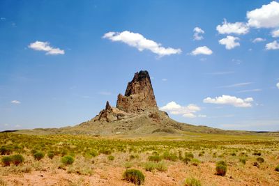
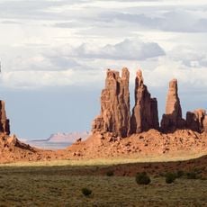
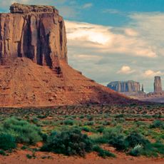
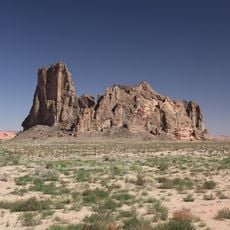
Agathla Peak, Volcanic summit in Navajo County, Arizona, US.

Description

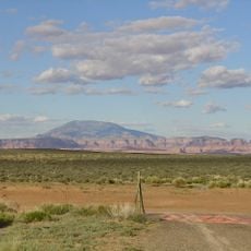
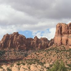
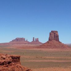
Agathla Peak is a volcanic summit near Monument Valley in northeastern Arizona that rises roughly 1500 feet (450 meters) above the surrounding terrain. It consists of a rare type of igneous rock and stands at an elevation of approximately 2164 meters above sea level.

History

The peak was first climbed in 1949 by Ray Garner, Herb Conn, and Lee Pedrick on the west face. Since then it has become known in the climbing history of the region.

Culture

The name Agathla comes from a Navajo word referring to animal fur that accumulates on the rock surface. This meaning reflects how the Navajo people who live here have observed and named their surrounding landscape.

Practical

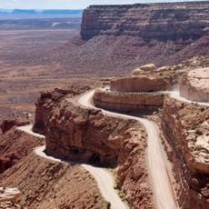
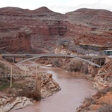
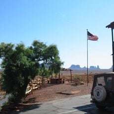
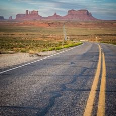
The mountain sits roughly 7 miles north of Kayenta and is clearly visible from U.S. Route 163. Climbing activities are currently restricted due to Navajo Nation regulations, so verify local conditions before planning a visit.

Did you know?

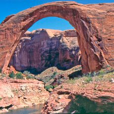
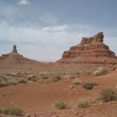
The summit consists of minette, a rare type of igneous rock that stands out geologically in this area. This unusual composition makes it a notable location for those curious about the geological formations found throughout this volcanic field.
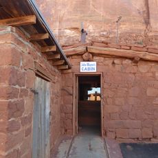
Location
Elevation above the sea
2,164 m
GPS coordinates
36.82594,-110.22602
Latest update
December 10, 2025 15:51

AroundUs brings together thousands of curated places, local tips, and hidden gems, enriched daily by 60,000 contributors worldwide. Discover all places nearby (Arizona).

« Agathla Peak - Volcanic summit in Navajo County, Arizona, US » is provided by Around Us (aroundus.com). Images and texts are derived from Wikimedia project under a Creative Commons license. You are allowed to copy, distribute, and modify copies of this page, under the conditions set by the license, as long as this note is clearly visible.

Discover hidden gems everywhere you go!

From secret cafés to breathtaking viewpoints, skip the crowded tourist spots and find places that match your style. Our app makes it easy with voice search, smart filtering, route optimization, and insider tips from travelers worldwide. Download now for the complete mobile experience.

Around Us App Screenshot

A unique approach to discovering new places

Le Figaro

All the places worth exploring

France Info

A tailor-made excursion in just a few clicks

20 Minutes

Around Us
Travel Guide & Maps
Download

Send to your phone

QR Code
1

Open the camera app on your mobile.

2

Point at the QR code with your camera. A notification will appear.

3

Tap the notification to open the link.