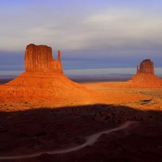
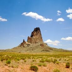
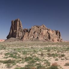
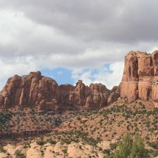
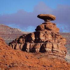
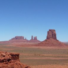
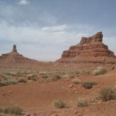
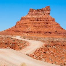
Merrick's Butte, Sandstone summit in Monument Valley, Arizona, United States.
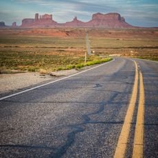
Merrick's Butte is a butte in Monument Valley, within Monument Valley Navajo Tribal Park in Navajo County, Arizona, standing about 1,852 metres above sea level and rising roughly 255 metres above the surrounding ground. Its base is about 0.86 kilometres wide, and the flat-topped rock sits just south of the West and East Mitten Buttes.
A silver prospector named Jack Merrick, who died in 1880 during conflicts with Native Americans, gave his name to this geological formation. The event became part of the region's history and reflects the tensions of that era.
The formation stands within Monument Valley Navajo Tribal Park, where Navajo people maintain their presence and guide visitors through their ancestral land.
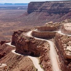
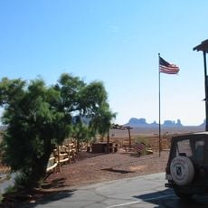
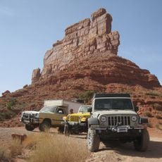
Merrick's Butte stands inside Monument Valley Navajo Tribal Park in Navajo County, Arizona, reached from U.S. Highway 163. The valley is toured by vehicle along a 17-mile (27 km) dirt road that starts near the visitor center; the butte is seen from that route. Carry water and sun protection, since the desert heat and exposure are strong.
Merrick Butte rises about 255 metres above the surrounding ground and stands roughly 2.4 kilometres west of Mitchell Mesa, the higher landmark to its east. Its summit reaches 1,852 metres, and the nearest settlement, Oljato-Monument Valley, lies about 15.7 kilometres away.
The community of curious travelers
AroundUs brings together thousands of curated places, local tips, and hidden gems, enriched daily by 93,195 contributors worldwide.