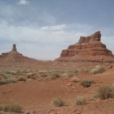
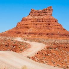
Church Rock, Rock formation in Navajo County, Arizona
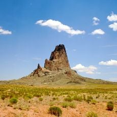
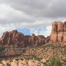
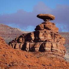
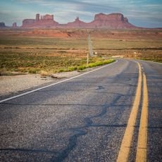
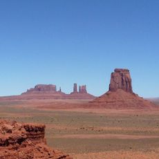
Church Rock is a pillar of eroded volcanic rock in Navajo County, Arizona, standing on Navajo Nation land about 7.5 miles (12.1 km) east of Kayenta. It rises roughly 400 feet (122 m) above Church Rock Valley near the valley's mouth, and its summit reaches 5,862 feet (1,787 m). The pillar is a diatreme, a plug of minette and other unusual igneous rock, and it can be seen from Highway 160.
The formation gained its name during early trade expeditions through the region in the 19th century. The rock itself formed millions of years earlier through volcanic processes that shaped the landscape.
The pillar's first recorded name was Artenesales de Piedra, or Sculpted Rock, given by Mexican merchant Antonio Armijo during his 1829–1830 expedition to open a trade route between Santa Fe de Nuevo México and Alta California. That route became the Armijo Route of the Old Spanish Trail.
Spring and fall are the most favorable seasons to visit. Summer brings about 54 days above 90 °F (32 °C) a year, with highs rarely over 100 °F (38 °C); nights cool quickly after sunset. Winter days usually stay above freezing, and annual rainfall is under 10 inches (250 mm). The pillar rises 400 feet above Church Rock Valley and is seen from Highway 160, 7.5 miles east of Kayenta.
Church Rock is one of the eroded volcanic plugs, or diatremes, of the Navajo Volcanic Field, which also holds intrusions and flows of minette and other unusual igneous rocks. The Mexican merchant Antonio Armijo named it Artenesales de Piedra, or Sculpted Rock, in 1829–1830 while scouting a trade route between Santa Fe de Nuevo México and Alta California.
The community of curious travelers
AroundUs brings together thousands of curated places, local tips, and hidden gems, enriched daily by 92,784 contributors worldwide.