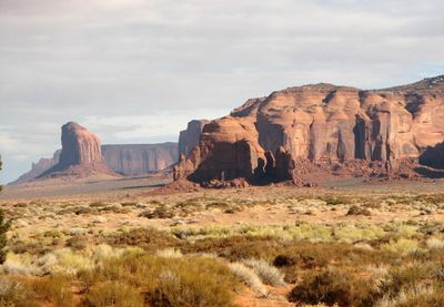
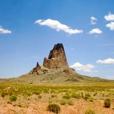
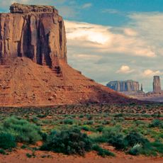
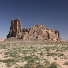
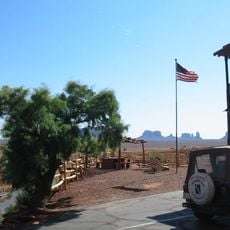
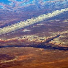
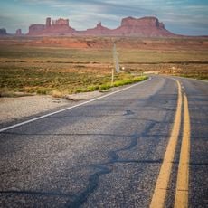
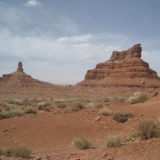
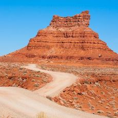
Mystery Valley, Red sandstone basin in Navajo County, United States.
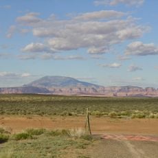
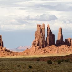
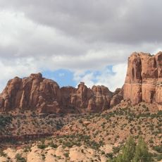
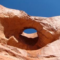
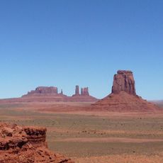
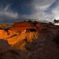
Mystery Valley is a sandstone basin in Navajo County with numerous formations shaped by wind and water erosion. The landscape displays natural arches, caves, and towering rock structures spread across the terrain.
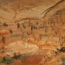
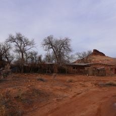
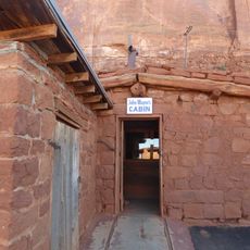
The valley was home to ancient Puebloan peoples who left behind dwellings and rock art more than 1,000 years old. These archaeological remains show how people lived and used the land in this region long ago.
The valley's name comes from hidden archaeological sites and natural structures that reveal themselves as you explore. Your Navajo guides share stories about the importance of this place and how their community cares for and protects it today.
Access is only with an authorized Navajo guide who leads the tour and shares knowledge of the area. Visitors should wear sturdy hiking shoes and be prepared for changing weather conditions.
The valley contains rare examples of well-preserved ruins such as Square House and House of Many Hands. These structures show building methods from long ago and offer insight into how earlier people lived in this region.
The community of curious travelers
AroundUs brings together thousands of curated places, local tips, and hidden gems, enriched daily by 60,000 contributors worldwide.