Cham, municipality in the canton of Zug in Switzerland
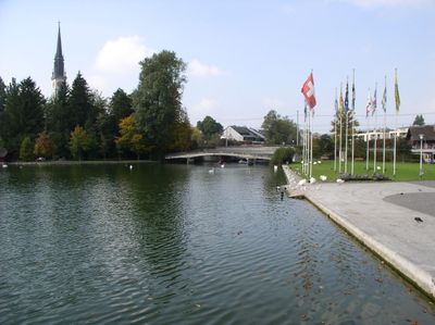
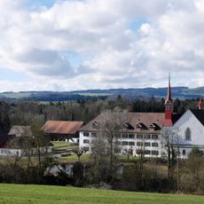
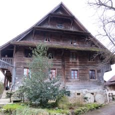
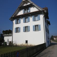
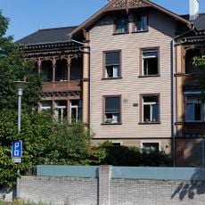
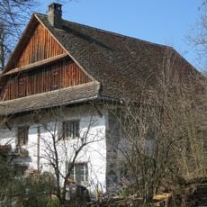
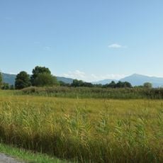
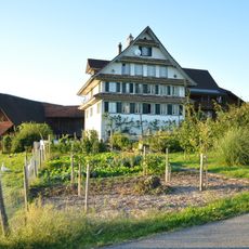
Cham is a small town on the northern shore of Lake Zug with direct access to the water and a quiet, friendly character. The settlement spreads along the Lorze River with residential homes, shops, and parks, while fields and forests shape the rural surroundings.
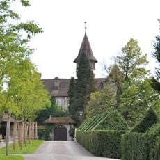
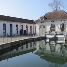
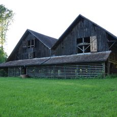
Cham was first mentioned in 858 when a ruler gave the town to a religious order, marking the start of its documented history. The Habsburgs acquired parts of it in the 14th century, but it later became part of the Swiss region of Zug and experienced rapid growth in the 1800s through paper manufacturing and milk production, including the early Nestlé operations.
The name Cham means village, reflecting the rural origins that still show in how residents use public spaces today. During fall festivals, families walk through streets carrying illuminated turnip lanterns, a tradition that brings neighbors together and defines local identity.
The town is easy to reach by train, which runs regularly to larger cities like Lucerne and Zurich, and buses connect it with surrounding villages. In summer, boat services also operate at the local marina, offering various options for day trips and exploring the region.
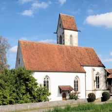
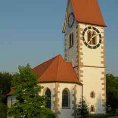
St. James Church with its late Gothic tower from the 15th century rises above the town center and is a visible landmark many visitors overlook. Archaeological finds show that people lived in this area during the Bronze Age and Roman times, making it a window into deep history.
The community of curious travelers
AroundUs brings together thousands of curated places, local tips, and hidden gems, enriched daily by 60,000 contributors worldwide.