
Box Canyon, canyon in La Plata County, Colorado, United States
Location: La Plata County
Elevation above the sea: 2,127 m
GPS coordinates: 37.18472,-107.95035
Latest update: April 28, 2025 01:10
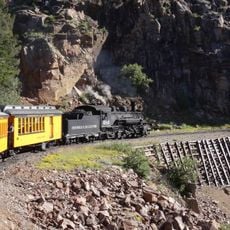
Durango and Silverton Narrow Gauge Railroad
14.4 km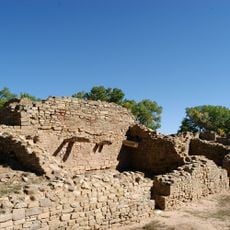
Aztec Ruins National Monument
39 km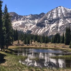
Hesperus Mountain
31.5 km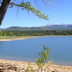
Mancos State Park
37.1 km
Strater Hotel
11.4 km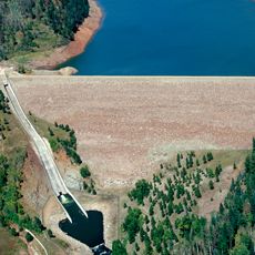
Lemon Dam
33.8 km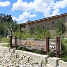
Southern Ute Cultural Center and Museum
28.5 km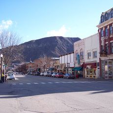
Main Avenue Historic District
11.6 km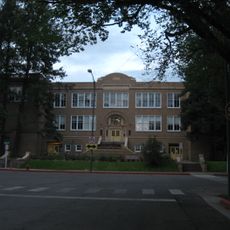
Durango High School
12.1 km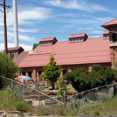
Durango Discovery Museum
12.2 km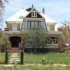
Wrightsman House
35.1 km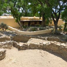
Aztec Ruins Administration Building-Museum
39.2 km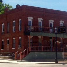
American Hotel
41 km
Mancos Theatre
35 km
Aztec Main Street Historic District
40.6 km
D.C. Ball House
40.3 km
Aztec Motor Company Building
40.8 km
Bauer Bank Block
34.9 km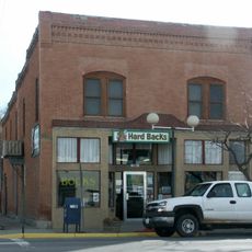
Engleman-Thomas Building
40.8 km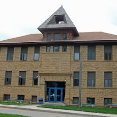
Mancos High School
35.2 km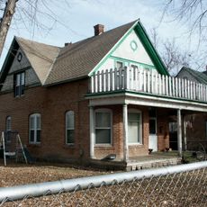
Church Avenue-Lovers Lane Historic District
40.5 km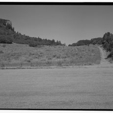
Knife Edge Trail
44.7 km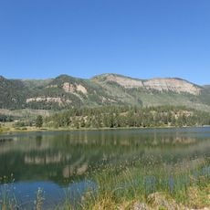
Haviland Lake
40.9 km
Hillcrest Golf Club
13.6 km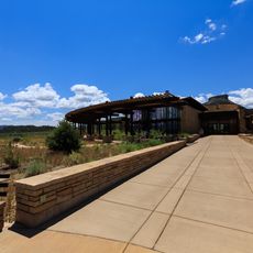
Mesa Verde Visitor and Research Center
43.9 km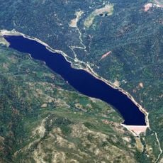
Lemon Reservoir
34.9 km
Aztec Museum
40.4 km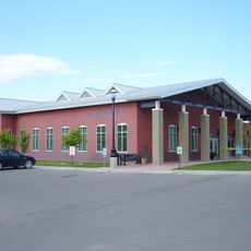
Aztec Public Library
40.8 kmReviews
Visited this place? Tap the stars to rate it and share your experience / photos with the community! Try now! You can cancel it anytime.
Discover hidden gems everywhere you go!
From secret cafés to breathtaking viewpoints, skip the crowded tourist spots and find places that match your style. Our app makes it easy with voice search, smart filtering, route optimization, and insider tips from travelers worldwide. Download now for the complete mobile experience.

A unique approach to discovering new places❞
— Le Figaro
All the places worth exploring❞
— France Info
A tailor-made excursion in just a few clicks❞
— 20 Minutes