Chest opened
+${chestReward.xp} XP
Explorer
NOUVEAU ×${chestReward.collectible.quantity}
tapez pour fermer
Chest locked

Open chests in the app

Around Us is built for your phone — chests unlock when you walk, explore and capture nearby places.

Enable Location

We need your location to show you interesting places around you

Discover nearby places

Find interesting locations and hidden gems around you

Precise directions

Get accurate directions and distances to places

Your location is never shared with other users. It's only used when you tap the location button.

Albuquerque metropolitan area

Log in to your account

Start exploring — it's free

Trusted by 72,955 travelers worldwide

Continue with Google
Continue with Apple
or

We will send you a code to connect

By continuing, you accept our Terms and Conditions and our Privacy Policy

Check your inbox

We've sent a pincode in your inbox. Please enter the code below.

Albuquerque metropolitan area
Discussion Reviews 1 Photos
39.6k Popularity

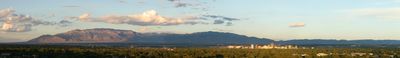
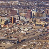
Albuquerque metropolitan area, Metropolitan statistical area in central New Mexico, US

The Albuquerque metropolitan area spans several counties across central New Mexico, forming a connected region around the city. It includes Albuquerque itself, smaller towns, and surrounding communities.

The region was originally home to Tiwa Pueblos before Spanish settlers founded a settlement there in 1706. After the Treaty of Guadalupe Hidalgo, the area became part of the United States.

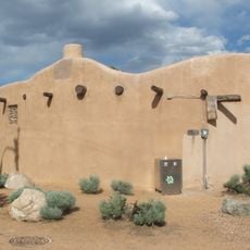
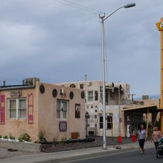
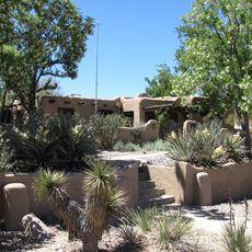
The area takes its name from a Spanish duke. Today, indigenous, Spanish, and American influences shape how people live and celebrate together, visible in buildings, local events, and everyday traditions.

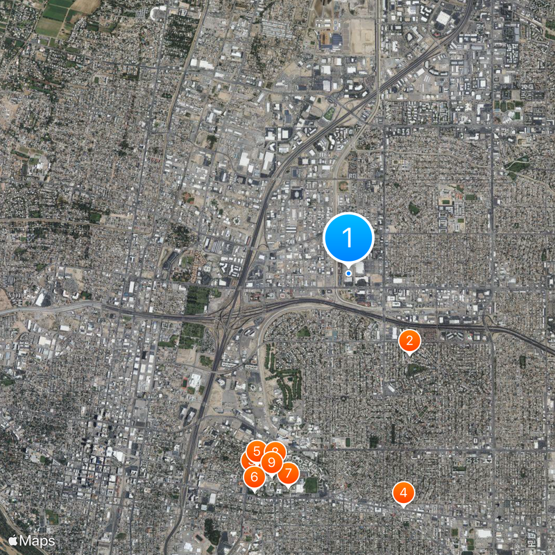
The area is easy to navigate by car, as main roads connect the different towns and communities. Having a vehicle makes exploring much easier, especially if you want to visit several places.

Wine production started in the 1620s between Bernalillo and Corrales for religious purposes. These early vineyards were among New Mexico's oldest agricultural ventures.

The community of curious travelers

AroundUs brings together thousands of curated places, local tips, and hidden gems, enriched daily by 60,000 contributors worldwide.

Start exploring
Location
Part of
Albuquerque-Santa Fe-Las Vegas, NM Combined Statistical Area
GPS coordinates
35.11080,-106.61000
Latest update
March 5, 2026 16:38
Around this place
United States of America

Albuquerque Basin

1.5 km
Estufa
United States of America

Estufa

3.3 km
Aztec Motel
United States of America

Aztec Motel

3.6 km
Maxwell Museum of Anthropology
United States of America

Maxwell Museum of Anthropology

3.2 km
Hodgin Hall
United States of America

Hodgin Hall

3.5 km
University of New Mexico Art Museum
United States of America

University of New Mexico Art Museum

3.3 km
University of New Mexico Arboretum
United States of America

University of New Mexico Arboretum

3.1 km
Carlisle Gymnasium
United States of America

Carlisle Gymnasium

3.2 km
Monte Vista Fire Station
United States of America

Monte Vista Fire Station

3.3 km
Lobo Theater
United States of America

Lobo Theater

3.3 km
Scholes Hall
United States of America

Scholes Hall

3.1 km
University of New Mexico Cancer Research Building
United States of America

University of New Mexico Cancer Research Building

2.3 km
Monte Vista Elementary School
United States of America

Monte Vista Elementary School

3.1 km
Art Annex
United States of America

Art Annex

3.5 km
Sara Raynolds Hall
United States of America

Sara Raynolds Hall

3.5 km
Second United Presbyterian Church
United States of America

Second United Presbyterian Church

3.5 km
Congregation B'nai Israel
United States of America

Congregation B'nai Israel

1.7 km
Santa Barbara School
United States of America

Santa Barbara School

3 km
President's House
United States of America

President's House

2.9 km
Hendren Building
United States of America

Hendren Building

3.1 km
Pig & Calf Lunch
United States of America

Pig & Calf Lunch

3.5 km
Juan de Dios Chavez House
United States of America

Juan de Dios Chavez House

2.8 km
Juan Cristobal Armijo Homestead
United States of America

Juan Cristobal Armijo Homestead

2.9 km
Jonson Gallery
United States of America

Jonson Gallery

2.8 km
Los Tomases Chapel
United States of America

Los Tomases Chapel

3.6 km
James N. Gladding House
United States of America

James N. Gladding House

3.1 km
William J. Leverett House
United States of America

William J. Leverett House

3.1 km
Cinemark Rio 24
United States of America

Cinemark Rio 24

3.5 km
Show the full map
Reviews
Share your experience

No review yet

Discussions
Start a discussion...

No discussion yet

Administrative divisions
« Albuquerque metropolitan area - Metropolitan statistical area in central New Mexico, US » is provided by Around Us (aroundus.com). Images and texts are derived from Wikimedia project under a Creative Commons license. You are allowed to copy, distribute, and modify copies of this page, under the conditions set by the license, as long as this note is clearly visible.

Discover hidden gems everywhere you go!

From secret cafés to breathtaking viewpoints, skip the crowded tourist spots and find places that match your style. Our app makes it easy with voice search, smart filtering, route optimization, and insider tips from travelers worldwide. Download now for the complete mobile experience.

Around Us App Screenshot

A unique approach to discovering new places

Le Figaro

All the places worth exploring

France Info

A tailor-made excursion in just a few clicks

20 Minutes

Around Us
Travel Guide & Maps
Download

Send to your phone

QR Code
1

Open the camera app on your mobile.

2

Point at the QR code with your camera. A notification will appear.

3

Tap the notification to open the link.