La Junta

Log in to your account

AroundUs is a community-driven map of interesting places, built by curious explorers like you. It grows with every review, story, and photo you share.
Connect to save your favorite spots, contribute locations, and create personalized routes.
By continuing, you accept our Terms and Conditions and our Privacy Policy
Add to collection
Map
Suggest a change
Share

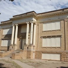
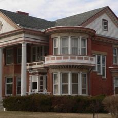
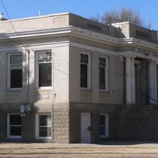
La Junta, County seat in southeastern Colorado, United States

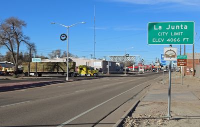
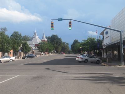
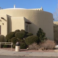
La Junta is a county seat in southeastern Colorado situated along the Arkansas River at the northern edge of Comanche National Grassland. The town serves as a regional hub with schools, medical facilities, and local businesses supporting the surrounding rural communities.

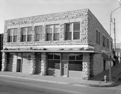
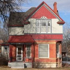
The town began as a railroad junction in 1875 and was initially called Otero before being formally incorporated in 1881. Its location at the crossroads of Santa Fe and Navajo trade routes made it a natural gathering point for commerce and travel.

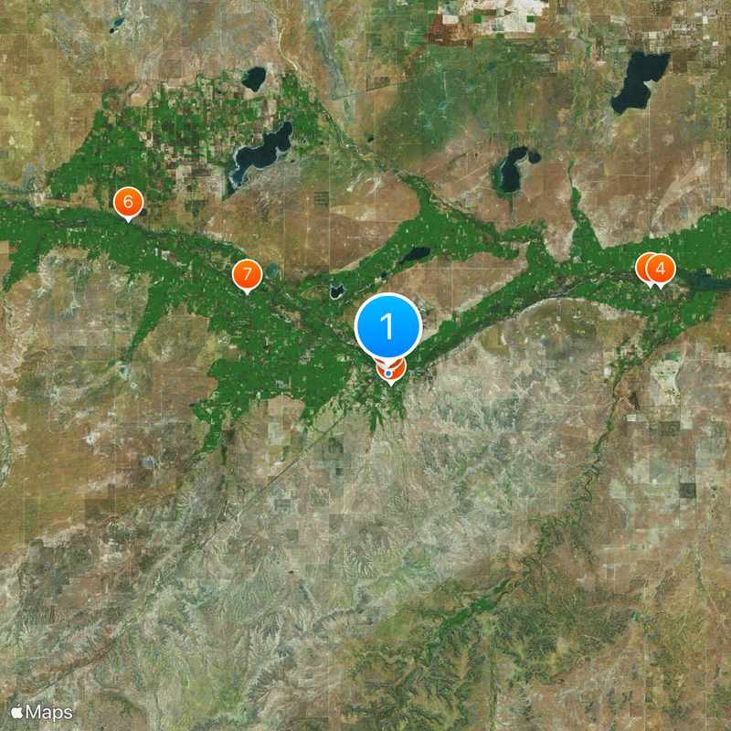
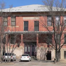
The Koshare Indian Museum at Otero College displays Native American artifacts and hosts traditional dance performances throughout the year. These shows and exhibits tell the stories of the peoples who shaped this land long before the town was founded.

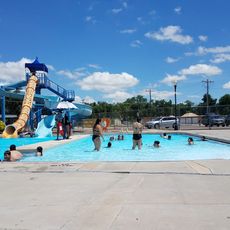
The town is accessible via U.S. Highway 50 and regional bus services, with a medical center available for healthcare needs. The nearby Comanche National Grassland offers opportunities for outdoor activities and exploring the landscape on foot or by vehicle.

Each September and October, the grasslands around town host a tarantula migration as these spiders move across the region during mating season. This natural event draws curious visitors who want to observe these large arachnids in their wild habitat.

Location: Otero County

Inception: 1881

Elevation above the sea: 1,243 m

Website: http://ci.la-junta.co.us

GPS coordinates: 37.98140,-103.54800

Latest update: December 12, 2025 05:32

Photos
Around this place
Koshare Indian Museum
United States of America

Koshare Indian Museum

1.1 km
Bent County High School
United States of America

Bent County High School

29.2 km
Bent County Courthouse and Jail
United States of America

Bent County Courthouse and Jail

30.2 km
Dr. Frank Finney House
United States of America

Dr. Frank Finney House

130 m
Manzanola Bridge
United States of America

Manzanola Bridge

31.9 km
Art Building
United States of America

Art Building

17.3 km
Daniel Sciumbato Grocery Store
United States of America

Daniel Sciumbato Grocery Store

669 m
North La Junta School
United States of America

North La Junta School

2.6 km
Carnegie Public Library
United States of America

Carnegie Public Library

16.8 km
Wilson A. Hart House
United States of America

Wilson A. Hart House

531 m
La Junta Swimming Pool
United States of America

La Junta Swimming Pool

1.1 km
Rocky Ford Museum
United States of America

Rocky Ford Museum

16.8 km
Otero Museum Association
United States of America

Otero Museum Association

625 m
John W. Rawlings Heritage Center & Museum
United States of America

John W. Rawlings Heritage Center & Museum

30.3 km
Holbrook Reservoir
United States of America

Holbrook Reservoir

10.6 km
Dixie Bluffs
United States of America

Dixie Bluffs

10.7 km
Todd Point
United States of America

Todd Point

33.5 km
Horse Creek Reservoir
United States of America

Horse Creek Reservoir

25.2 km
Apishapa Bluff
United States of America

Apishapa Bluff

34.2 km
East Canyon
United States of America

East Canyon

33.9 km
Prairie Land Reservoir Number 1
United States of America

Prairie Land Reservoir Number 1

27.1 km
Mesa Theatre
United States of America

Mesa Theatre

948 m
Swink Reservoir Number 1
United States of America

Swink Reservoir Number 1

28.1 km
Koshare Museum & Trading Post
United States of America

Koshare Museum & Trading Post

1.1 km
ATSF Manzanola Depot
United States of America

ATSF Manzanola Depot

31.4 km
Southwest Chief train mural
United States of America

Southwest Chief train mural

771 m
Work of art, sculpture
United States of America

Work of art, sculpture

30.2 km
Scenic viewpoint
United States of America

Scenic viewpoint

24.5 km
Show the full map
Reviews

Visited this place? Tap the stars to rate it and share your experience / photos with the community! Try now! You can cancel it anytime.

« La Junta - County seat in southeastern Colorado, United States » is provided by Around Us (aroundus.com). Images and texts are derived from Wikimedia project under a Creative Commons license. You are allowed to copy, distribute, and modify copies of this page, under the conditions set by the license, as long as this note is clearly visible.

Discover hidden gems everywhere you go!

From secret cafés to breathtaking viewpoints, skip the crowded tourist spots and find places that match your style. Our app makes it easy with voice search, smart filtering, route optimization, and insider tips from travelers worldwide. Download now for the complete mobile experience.

Around Us App Screenshot

A unique approach to discovering new places

Le Figaro

All the places worth exploring

France Info

A tailor-made excursion in just a few clicks

20 Minutes