Enable Location

We need your location to show you interesting places around you

Discover nearby places

Find interesting locations and hidden gems around you

Precise directions

Get accurate directions and distances to places

Your location is never shared with other users. It's only used when you tap the location button.

Las Animas

Log in to your account

Start exploring — it's free

Trusted by 63,538 travelers worldwide

Continue with Google
Continue with Apple
or

We will send you a code to connect

By continuing, you accept our Terms and Conditions and our Privacy Policy

Check your inbox

We've sent a pincode in your inbox. Please enter the code below.

Discussion Reviews 1 Photos
20k Popularity

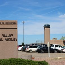
Las Animas, city in Bent County, Colorado, United States

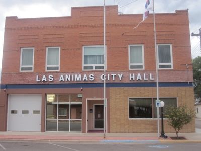
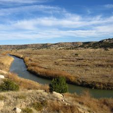
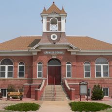
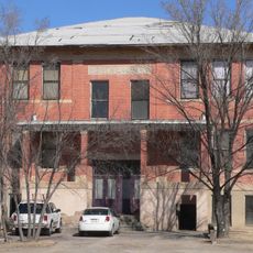
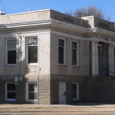
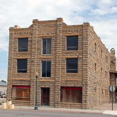
Las Animas is a small city in Bent County, Colorado, situated along the Arkansas River on the eastern plains. The town has a simple layout with a few shops and restaurants in downtown, quiet streets, and buildings with a modest, old-fashioned look.

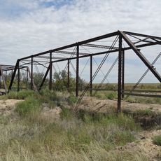
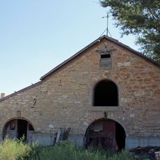
The town was founded in May 1886 and became the only city in Bent County. The area had long been a stopping point on the historic Santa Fe Trail, where traders and travelers halted and where trading posts like Bent's Old Fort served as key centers for commerce and frontier activity.

The name comes from Spanish and means 'The Souls', reflecting the region's early history with Spanish explorers and settlers who passed through the area. The community has kept this heritage alive in how residents take pride in local stories and gather for events that celebrate their roots and agricultural way of life.

Visitors should note that services like gas stations and stores are limited, so planning ahead is wise. The town's small size makes walking convenient, especially around the historic downtown and parks, and the nearest airport is in Pueblo, about one hour away by car.

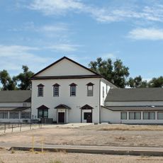
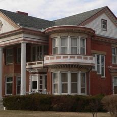
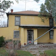
The area was closely tied to frontier figures like Kit Carson, who settled in the nearby Boggsville settlement after his years as a renowned frontiersman. Today, visitors can explore the restored homes of Thomas Boggs and John Prowers along an educational trail and learn about their roles in developing this historic community.

The community of curious travelers

AroundUs brings together thousands of curated places, local tips, and hidden gems, enriched daily by 60,000 contributors worldwide.

Start exploring
Location
Elevation above the sea
1,188 m
GPS coordinates
38.06690,-103.22600
Latest update
February 16, 2026 22:00
Around this place
Fort Lyon
United States of America

Fort Lyon

8.2 km
Piñon Canyon Maneuver Site
United States of America

Piñon Canyon Maneuver Site

99.1 km
John Martin Reservoir
United States of America

John Martin Reservoir

23.8 km
Crowley County Correctional Facility
United States of America

Crowley County Correctional Facility

65 km
Purgatoire River track site
United States of America

Purgatoire River track site

59.8 km
John Martin Reservoir State Park
United States of America

John Martin Reservoir State Park

25.9 km
Koshare Indian Museum
United States of America

Koshare Indian Museum

29.9 km
Arkansas Valley Correctional Facility
United States of America

Arkansas Valley Correctional Facility

55.7 km
Bent County High School
United States of America

Bent County High School

567 m
Crow–Hightower House
United States of America

Crow–Hightower House

60.5 km
Springfield Schoolhouse
United States of America

Springfield Schoolhouse

90.8 km
Eads Community Church
United States of America

Eads Community Church

60.4 km
Prowers Bridge
United States of America

Prowers Bridge

40.2 km
Crowley School
United States of America

Crowley School

56.7 km
Prowers County Courthouse
United States of America

Prowers County Courthouse

53.2 km
Dr. Frank Finney House
United States of America

Dr. Frank Finney House

29.7 km
Hotel Holly–Haswell Hotel
United States of America

Hotel Holly–Haswell Hotel

43.3 km
Art Building
United States of America

Art Building

43.2 km
Holly SS Ranch Barn
United States of America

Holly SS Ranch Barn

96.7 km
North La Junta School
United States of America

North La Junta School

27.7 km
Douglas Crossing Bridge
United States of America

Douglas Crossing Bridge

90.4 km
Granada Bridge
United States of America

Granada Bridge

80.3 km
Carnegie Public Library
United States of America

Carnegie Public Library

43.3 km
Huerfano Bridge
United States of America

Huerfano Bridge

92.4 km
Davies Hotel
United States of America

Davies Hotel

53.3 km
Wilson A. Hart House
United States of America

Wilson A. Hart House

29.3 km
La Junta Swimming Pool
United States of America

La Junta Swimming Pool

30.6 km
Lamar Theatre
United States of America

Lamar Theatre

53.2 km
Show the full map
Reviews
Share your experience

No review yet

Discussions
Start a discussion...

No discussion yet

« Las Animas - city in Bent County, Colorado, United States » is provided by Around Us (aroundus.com). Images and texts are derived from Wikimedia project under a Creative Commons license. You are allowed to copy, distribute, and modify copies of this page, under the conditions set by the license, as long as this note is clearly visible.

Discover hidden gems everywhere you go!

From secret cafés to breathtaking viewpoints, skip the crowded tourist spots and find places that match your style. Our app makes it easy with voice search, smart filtering, route optimization, and insider tips from travelers worldwide. Download now for the complete mobile experience.

Around Us App Screenshot

A unique approach to discovering new places

Le Figaro

All the places worth exploring

France Info

A tailor-made excursion in just a few clicks

20 Minutes

Around Us
Travel Guide & Maps
Download

Send to your phone

QR Code
1

Open the camera app on your mobile.

2

Point at the QR code with your camera. A notification will appear.

3

Tap the notification to open the link.