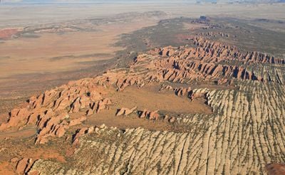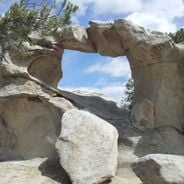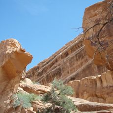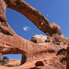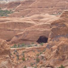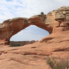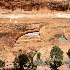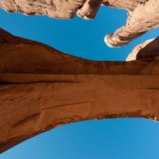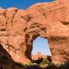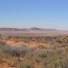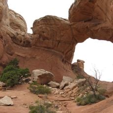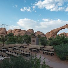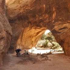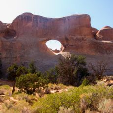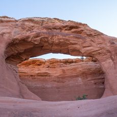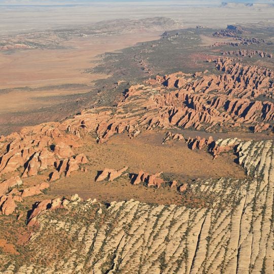
Devils Garden, Rock formation in Salt Valley, Grand County, United States.
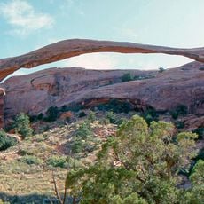
Devils Garden is a cluster of eroded red sandstone fins, knobby outcrops and short ridges in an arid valley at the end of the main park road in Arches National Park. The fins formed as vertical cracks in a thick sandstone layer widened through water erosion and ice expansion. The trailhead leads 0.8 mi (1.3 km) to Landscape Arch, whose span measures about 290 ft (88.4 m).
A Hungarian prospector named Alexander Ringhoffer discovered this area in the 1920s and brought it to the attention of railroad officials as a potential tourist destination. His promotion helped establish the site as a place visitors could explore and study.
The name Devils Garden was given by prospector Alexander Ringhoffer to the Klondike Bluffs fins west of Salt Valley; when Arches National Monument was created in 1929 it covered the Windows and Devils Garden, and the label was transferred to the area at the end of the main park road. Visitors today walk the 7.2 mi trail system past Landscape Arch, Tunnel Arch and Pine Tree Arch, and camp at the trailhead campground.
A trail system winds through the formations and lets visitors walk past numerous arches and rock features on foot. The routes vary in length and difficulty, so you can choose how far to venture depending on your comfort level.
Landscape Arch, reached after a 0.8 mi (1.3 km) outbound hike from the trailhead, spans about 290 ft (88.4 m) according to 2004 laser measurements but is only about 6 ft (2 m) thick near its center. In September 1991 a 60 ft (20 m) slab fell from its underside; boulders on the slope below are remnants of that event.
The community of curious travelers
AroundUs brings together thousands of curated places, local tips, and hidden gems, enriched daily by 93,784 contributors worldwide.