Caribou County, Administrative division in southeastern Idaho, US
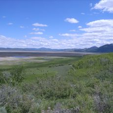
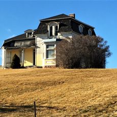
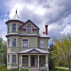
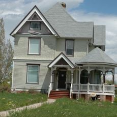
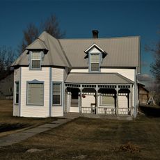
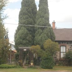
Caribou County is an administrative division in southeastern Idaho that covers the Caribou Mountains and portions of the Snake River Plain. The terrain shifts between mountain ridges, high plateaus, and river valleys, giving the area a varied landscape.
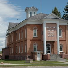
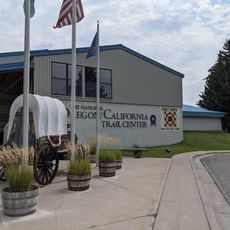
The area was a crossing point on the Oregon Trail, where settlers and traders passed through heading west during the 19th century. The county was formally created in 1919, after permanent communities had already taken root in the region.
The county fair and rodeo held each year brings locals together to celebrate farming traditions through competitions and live events. Visitors can watch livestock shows and other displays that reflect how people in the area have lived for generations.
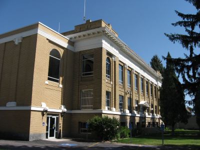
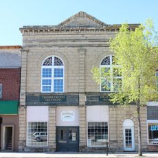
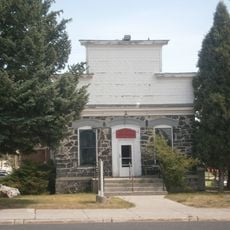
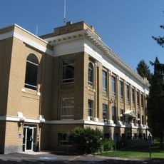
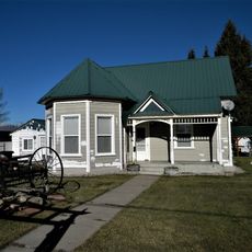
Soda Springs, the county seat, is the main place to find services and supplies when visiting the area. Driving your own vehicle is the most practical way to get around, as distances between communities can be long.
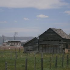
Caribou County sits above one of the largest phosphate deposits in the world, making it one of the top mining areas for this mineral in the US. Phosphate is a key ingredient in fertilizers, so this remote county plays a quiet but real role in global food production.
The community of curious travelers
AroundUs brings together thousands of curated places, local tips, and hidden gems, enriched daily by 60,000 contributors worldwide.