Bridger National Forest, National forest in Wyoming, US
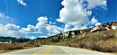
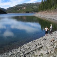
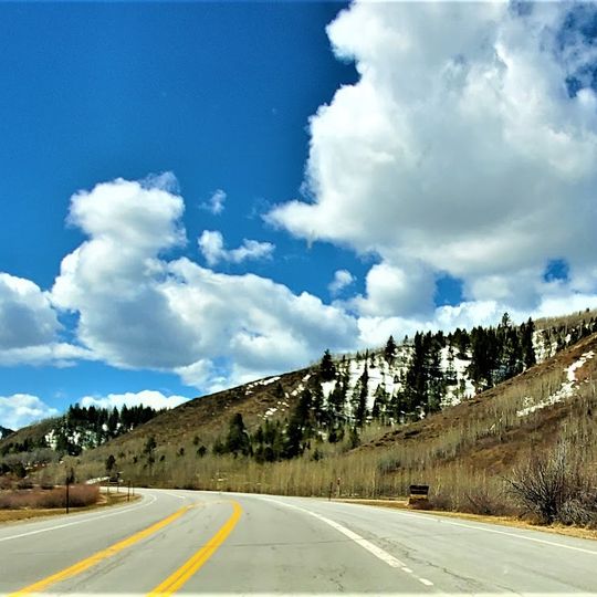
Bridger-Teton National Forest is a national forest in western Wyoming covering mountain ranges, river valleys, open meadows, and high ridgelines. It shares borders with Yellowstone National Park to the north and Grand Teton National Park to the west, forming a large block of wild land.
The forest takes its name from Jim Bridger, a fur trader and scout who traveled widely through the Wyoming wilderness in the 1800s. A major landslide in 1925 near the Gros Ventre River buried the valley floor and created a natural lake, which later broke and flooded the nearby town of Kelly in 1927.
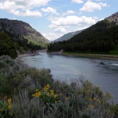
The Bridger-Teton National Forest draws people across seasons: hikers and anglers in summer, snowmobilers and cross-country skiers in winter. Cache Creek near Jackson is a common starting point for trail users, and the Snake River brings rafters and canoeists to its banks.
The forest is open year-round, but some mountain roads close in winter or during construction work, so checking conditions before heading out is a good idea. The Jackson Forest Service office can answer questions about trails, camping spots, and current restrictions.
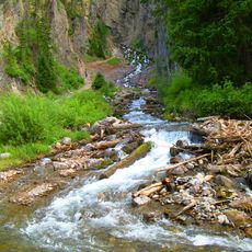
Near Afton, there is a cold-water spring that erupts every 18 minutes, pushing water out of a rock ledge in a rhythm similar to a geyser. This is one of the few periodic cold springs in the world, and it sits quietly within the forest, away from the more visited areas.
The community of curious travelers
AroundUs brings together thousands of curated places, local tips, and hidden gems, enriched daily by 90,757 contributors worldwide.