Red Rim, cliff in Carbon County, Wyoming, United States of America

Red Rock
52.6 km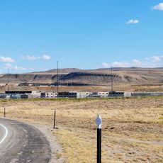
Wyoming State Penitentiary
23 km
Fort Fred Steele State Historic Site
44.7 km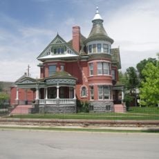
George Ferris Mansion
22.3 km
Frontier Formation
50.6 km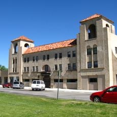
Parco Historic District
31.2 km
Platte River Crossing
44.2 km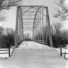
DMJ Pick Bridge
51.8 km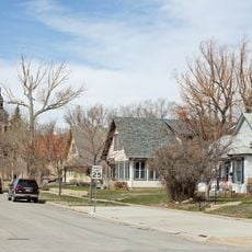
Rawlins Residential Historic District
22.6 km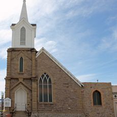
France Memorial United Presbyterian Church
22.5 km
Downtown Rawlins Historic District
22.4 km
Jack Creek Guard Station
55.1 km
Washakie Station Site
29.5 km
Coyote Springs Rim
40.6 km
Teton Reservoir
19.7 km
High Point
27.1 km
Brown Canyon Rim
32.1 km
Boggy Meadows Rim
48.9 km
Wells Bluff
54.6 km
Red Gulch Detention Dam 1592 Number 5
53.5 km
Deep Creek Rim
61 km
Chain Lakes Rim
43.2 km
Bull Springs Rim
48.5 km
Wamsutter Rim
45.5 km
Atlantic Rim
11.9 km
Rendle Rim
37.4 km
Coal Creek Rim
54.2 km
Windy Point
18 kmReviews
Visited this place? Tap the stars to rate it and share your experience / photos with the community! Try now! You can cancel it anytime.
Discover hidden gems everywhere you go!
From secret cafés to breathtaking viewpoints, skip the crowded tourist spots and find places that match your style. Our app makes it easy with voice search, smart filtering, route optimization, and insider tips from travelers worldwide. Download now for the complete mobile experience.

A unique approach to discovering new places❞
— Le Figaro
All the places worth exploring❞
— France Info
A tailor-made excursion in just a few clicks❞
— 20 Minutes