
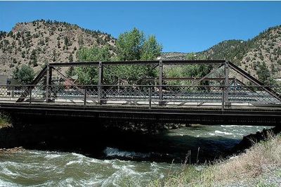
Miner Street Bridge, road bridge in Clear Creek County, United States of America
Location: Clear Creek County
GPS coordinates: 39.74211,-105.51363
Latest update: September 23, 2025 16:56
Mount Blue Sky
20.4 km
Sculptured House
20.8 km
Golden Gate Canyon State Park
13.2 km
Saint Mary's Glacier
15.5 km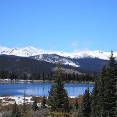
Echo Lake Park
12.1 km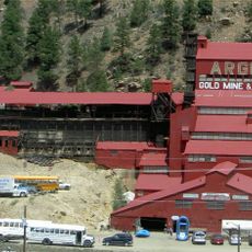
Argo Gold Mine and Mill
574 m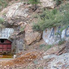
Argo Tunnel
528 m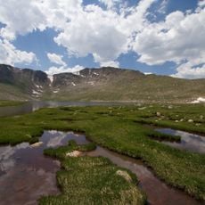
Summit Lake Park
19.5 km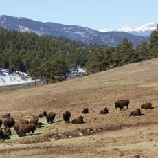
Genesee Park
17.5 km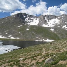
Mount Evans Wilderness
20.4 km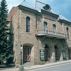
Central City Opera House
6.6 km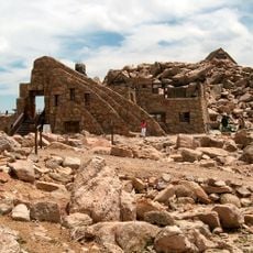
Crest House
20.4 km
Parry Peak
20.1 km
Central City/Black Hawk Historic District
6.6 km
James Peak Wilderness
19.4 km
Elk Meadow Park
15.1 km
Georgetown-Silver Plume Historic District
17.8 km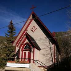
Grace Episcopal Church
16.2 km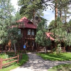
Hiwan Homestead Museum
19.9 km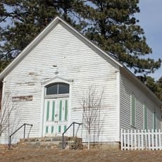
Rockland Community Church and Cemetery
21 km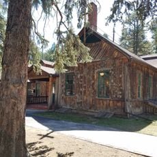
Evergreen Conference District
20.8 km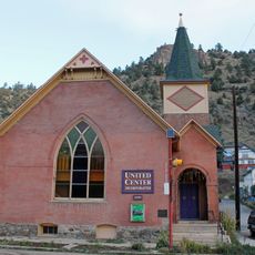
Methodist Episcopal Church
280 m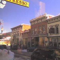
Idaho Springs Downtown Commercial District
165 m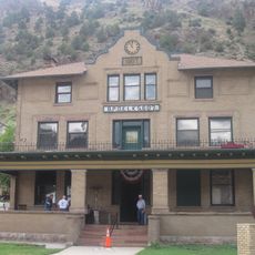
Elks Lodge No. 607
230 m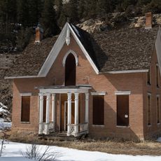
Toll House
16.8 km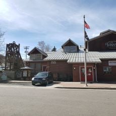
Visitor Center
336 m
Silver Lake
14.6 km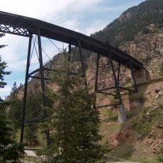
Devil's Gate High Bridge
17 kmReviews
Visited this place? Tap the stars to rate it and share your experience / photos with the community! Try now! You can cancel it anytime.
Discover hidden gems everywhere you go!
From secret cafés to breathtaking viewpoints, skip the crowded tourist spots and find places that match your style. Our app makes it easy with voice search, smart filtering, route optimization, and insider tips from travelers worldwide. Download now for the complete mobile experience.

A unique approach to discovering new places❞
— Le Figaro
All the places worth exploring❞
— France Info
A tailor-made excursion in just a few clicks❞
— 20 Minutes